
Explore Arnold
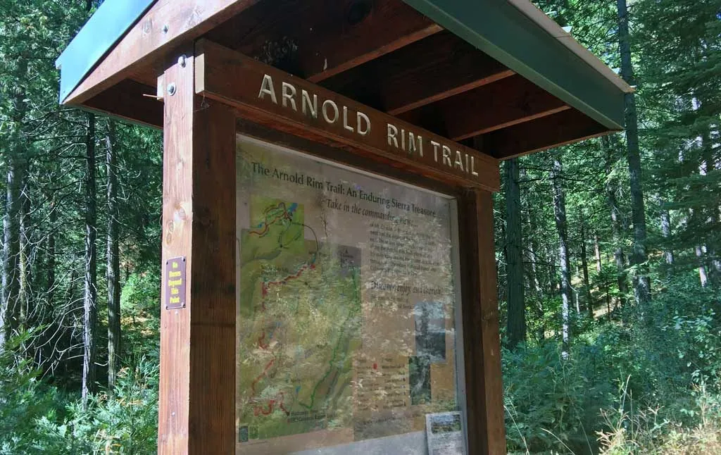
Arnold Rim Trail
Whether you're a hiker, cyclist, or nature lover, the Arnold Rim Trail offers something for everyone. Lace up your hiking boots, grab your camera, and embark on a scenic adventure.
First things first
Take To The Trails
Visitors of Arnold can snowshoe or cross-country ski (or mountain bike or hike in summer) on the Arnold Rim Trail, a 17-mile path that offers birds-eye views from craggy Cougar Rock and a peek at San Antonio Creek Falls.
Geography
Where Arnold Rim Trail sits

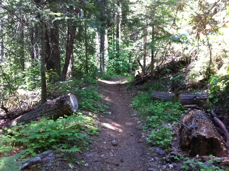
The trail runs along a mid-elevation rim above the North Fork Stanislaus River canyon, linking the Arnold and Avery communities across roughly nineteen miles of non-motorized tread.
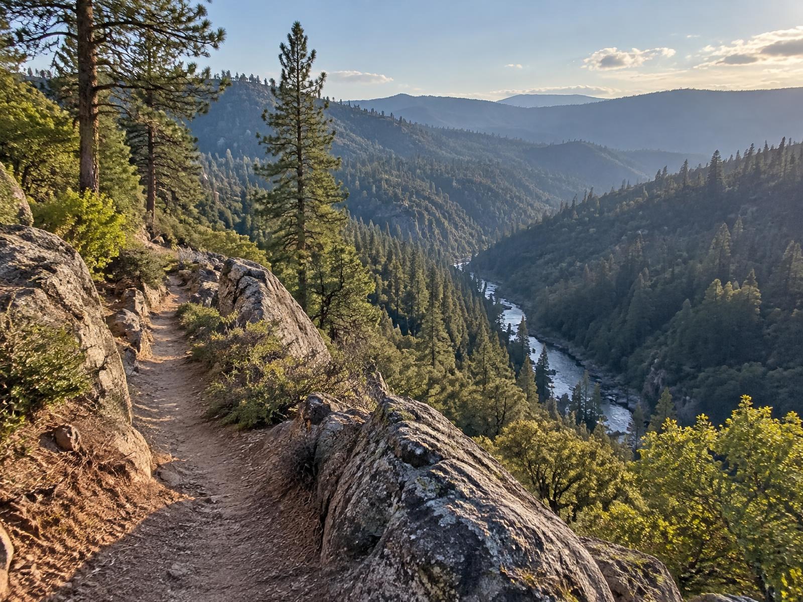
Expect ponderosa and cedar forest, volcanic and granite outcrops, and viewpoints such as Cougar Rock and Top of the World that look out over the canyon toward the Sierra crest.
A trailhead sits within a few minutes' drive of both Chalet Bruin and Koda Loft — about 5 to 10 minutes.
- Region
- Central Sierra Nevada western slope
- County
- Calaveras County
- Elevation
- Roughly 3,000–4,800 ft along its length
- Nearest town
- Arnold and White Pines
- Getting there
- Trailheads off Highway 4, including the Sierra Nevada Logging Museum
Arnold Rim Trail History
The Arnold Rim Trail, often abbreviated as ART, has a rich history that dates back to the mid-19th century. It was originally established as a network of logging roads that served the booming timber industry in the area. These roads played a pivotal role in transporting lumber from the dense forests of the Sierra Nevada to the burgeoning settlements and towns in California.
Over time, the timber industry waned, and the region’s focus shifted towards outdoor recreation and conservation. In the 1990s, local volunteers, with a deep passion for the area’s natural beauty, came together to envision the Arnold Rim Trail. Their goal was to create a trail system that not only showcased the breathtaking landscapes of the Sierra Nevada but also honored the historical significance of the old logging routes.
The vision became a reality through countless hours of hard work and collaboration. Today, the Arnold Rim Trail Association (ARTA) maintains and manages the trail, ensuring its accessibility and sustainability for generations to come.
WHAT TO SEE
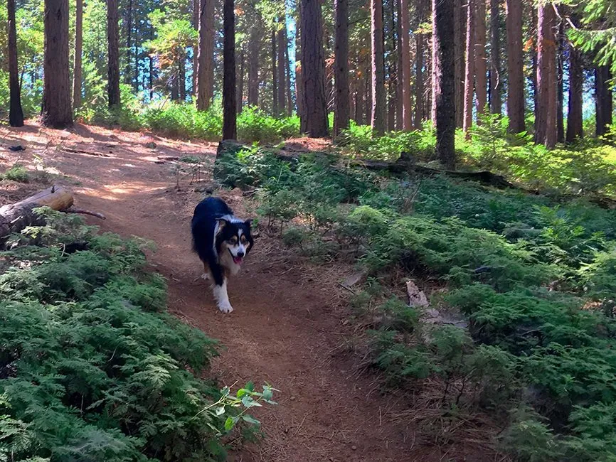
- Spectacular Scenery: The Arnold Rim Trail traverses through a diverse range of ecosystems, from lush forests of pine and cedar to open meadows with panoramic views. Along the way, hikers are treated to stunning vistas of the Sierra Nevada, the Central Valley, and even glimpses of the iconic Yosemite National Park.
- Historical Relics: As you hike the trail, you’ll encounter remnants of the region’s logging history, including abandoned logging camps, old roads, and even some rusted logging equipment. These artifacts provide a fascinating glimpse into the area’s industrial past.
- Unique Flora and Fauna: The trail is home to a diverse array of plant and animal species. Keep an eye out for wildlife such as black bears, deer, and a variety of bird species. The flora is equally captivating, with wildflowers gracing the landscape during the spring and early summer months.
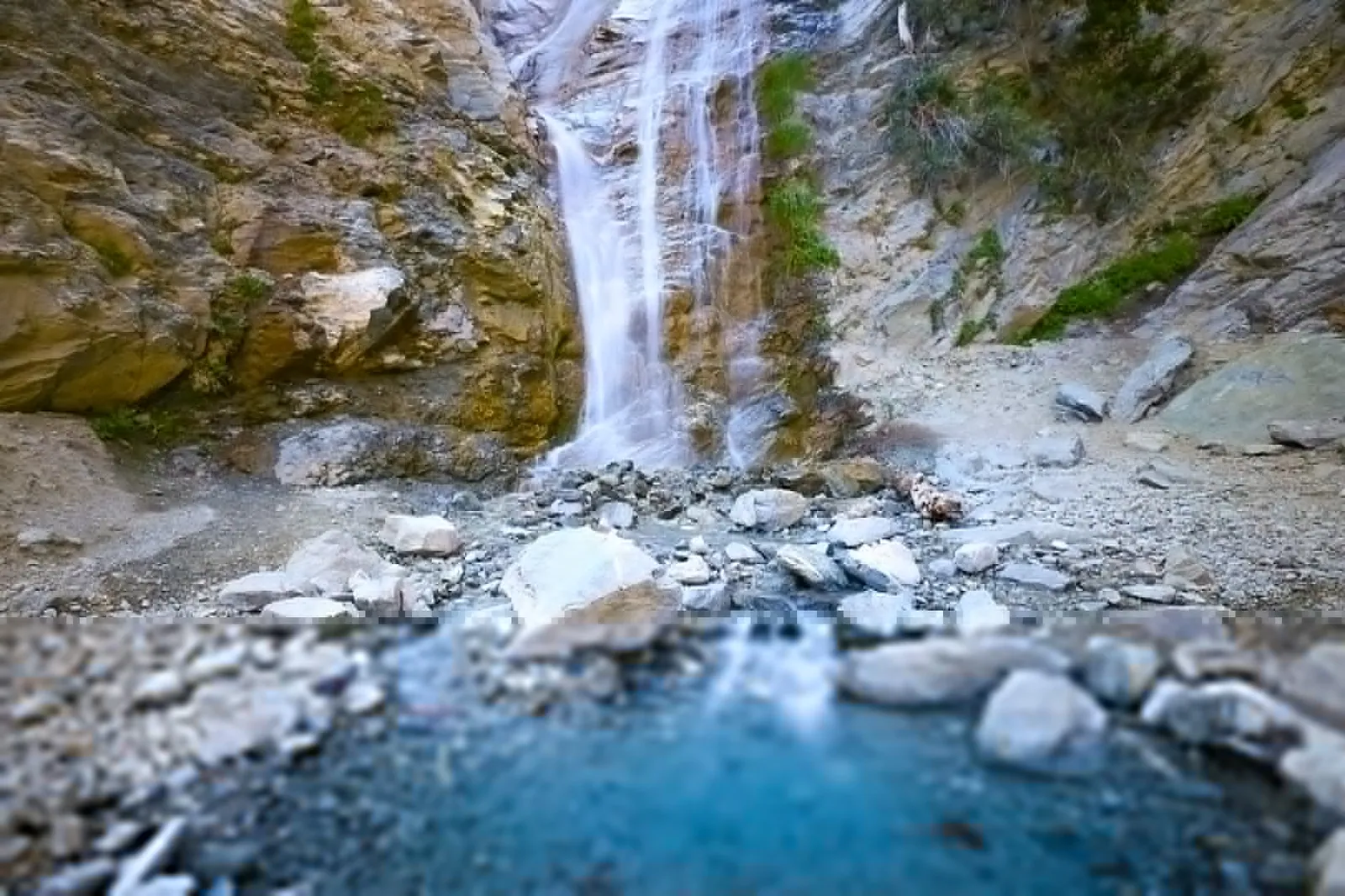
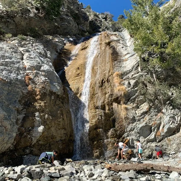
- The San Antonio Falls: One of the highlights of the Arnold Rim Trail is the majestic San Antonio Falls. This waterfall is especially enchanting during the spring runoff, and it’s a perfect spot to take a break, enjoy a picnic, and soak in the natural beauty.
Nearby
Keep exploring
Mountain Biking
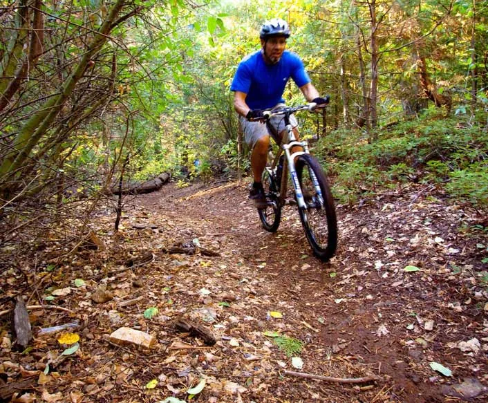
Portions of the trail are open to mountain biking, providing an exhilarating experience for cyclists. It's essential to follow trail etiquette and respect the shared-use nature of the path.
Horseback Riding
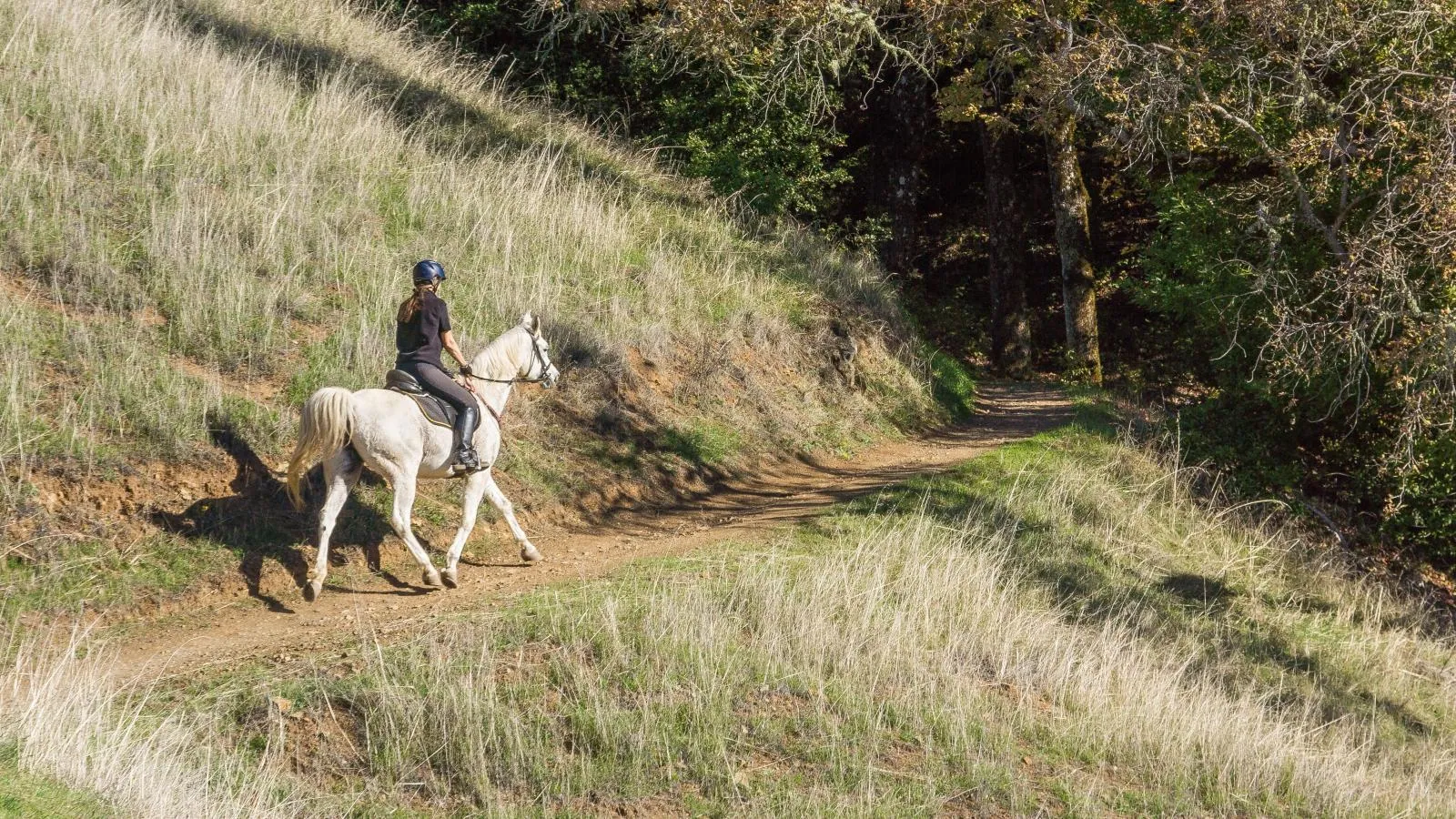
ARTA allows some sections of the trail for horseback riding, while other sections are designated for hiking usage. It's crucial to check the latest trail maps and regulations on the official ARTA website or contact them directly for up-to-date information.

Trail Running
For those seeking a more intense workout, the Arnold Rim Trail offers challenging terrain and elevation changes, making it a favorite among trail runners.
Stay nearby
Cabins near the Arnold Rim Trail
The Arnold Rim Trail trailheads are a few minutes from the door, so you can be hiking or riding before the coffee cools. Looking for Arnold vacation rentals? Arnold Haven has two dog-friendly cabins — a five-bedroom A-frame chalet that sleeps 12 and a two-bedroom loft that sleeps 4. Minimum stay is 2 nights, check-in is at 3pm and check-out at 11am.
- Check-in
- Self check-in, 3pm
- Cancellation
- Full refund 5+ days ahead; holidays 30 days
Check live availability, see your full price, and book securely — ID check and payment are handled by Stripe.
Good to know
Frequently asked questions
How hard is the Arnold Rim trail?+
Check out this 8.2-mile out-and-back trail near Arnold, California. Generally considered a **moderately challenging** route, it takes an average of 3 h 52 min to complete. This is a very popular area for hiking, horseback riding, and mountain biking, so you’ll likely encounter other people while exploring.
Where does the Arnold Rim trail start?+
The northern terminus and northern access point for the trail is the Sierra Nevada Logging Museum in the community of White Pines in Arnold. The next access points from north to south are Cedar Center and Valley View Drive in Arnold and Valley View Drive and Avery Sheep Ranch Road in Avery.
Are dogs allowed on the Arnold Rim Trail?+
Are Dogs allowed on the Trail? **Dogs on the ART are under the same Calaveras County Statute as anywhere else in the County**. Dogs are to be on a leash, or under the immediate voice command of owner. We would emphasize that voice command means voice command!