
Explore Arnold
Groveland, CA
The last real town before Yosemite's Highway 120 entrance: a wooden-balconied main street, granite swimming holes down the side roads, and the closest place to catch a tour that drives you into the park.
First things first
First things first
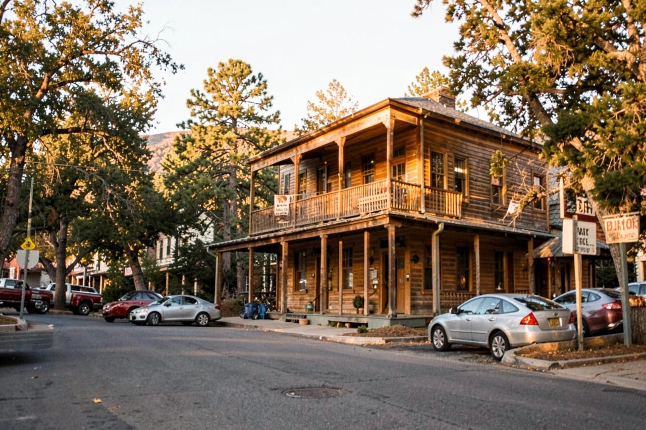
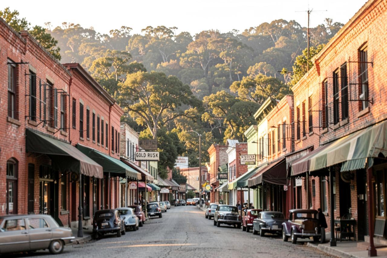
Groveland is a gold-rush town that became a gateway town. It sits at about 3,100 feet on Highway 120, half an hour west of the Big Oak Flat entrance, with a main street of wooden storefronts and balconies, a famously old saloon, a grocery, fuel and a handful of good places to eat.
From the cabins it is about an hour and three quarters: Highway 4 down to Angels Camp, Highway 49 through Sonora, then Highway 120 east. It is worth a stop on any Yosemite day and worth a visit on its own if you like the swimming holes.
Geography
Where Groveland, CA sits
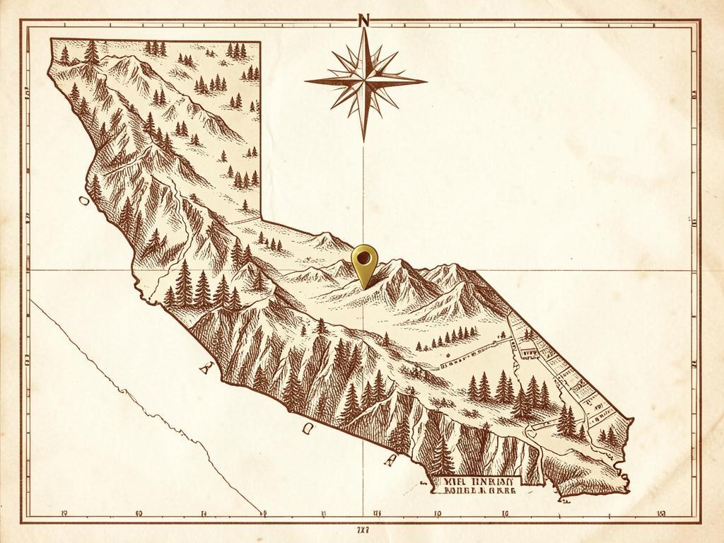
Groveland sits on a broad ridge above the Tuolumne River canyon, the last town of any size before Yosemite's western entrance.
The country around it is oak and pine, cut by granite creek drainages with pools and small waterfalls, and much of the forest east of town is regrowing from the 2013 Rim Fire.
It is about 70 miles from Chalet Bruin and Koda Loft via Sonora and Highway 120 — roughly an hour and three quarters.
- Region
- Sierra Nevada western slope, Highway 120 corridor
- County
- Tuolumne County
- Elevation
- About 3,100 ft
- Nearest town
- Groveland itself; Sonora is about an hour northwest
- Getting there
- Highway 120 east
The main street
The whole town is a few blocks. The Groveland Hotel and the Iron Door — which claims to be California's oldest continuously operating saloon — anchor the street, and the shops in between are the sort where somebody will tell you what the road conditions are actually like before you ask.
Fill up here. Fuel, groceries and cell service all get scarce and expensive once you pass the park entrance, and coming back out hungry is a long half hour.
Swimming holes and waterfalls
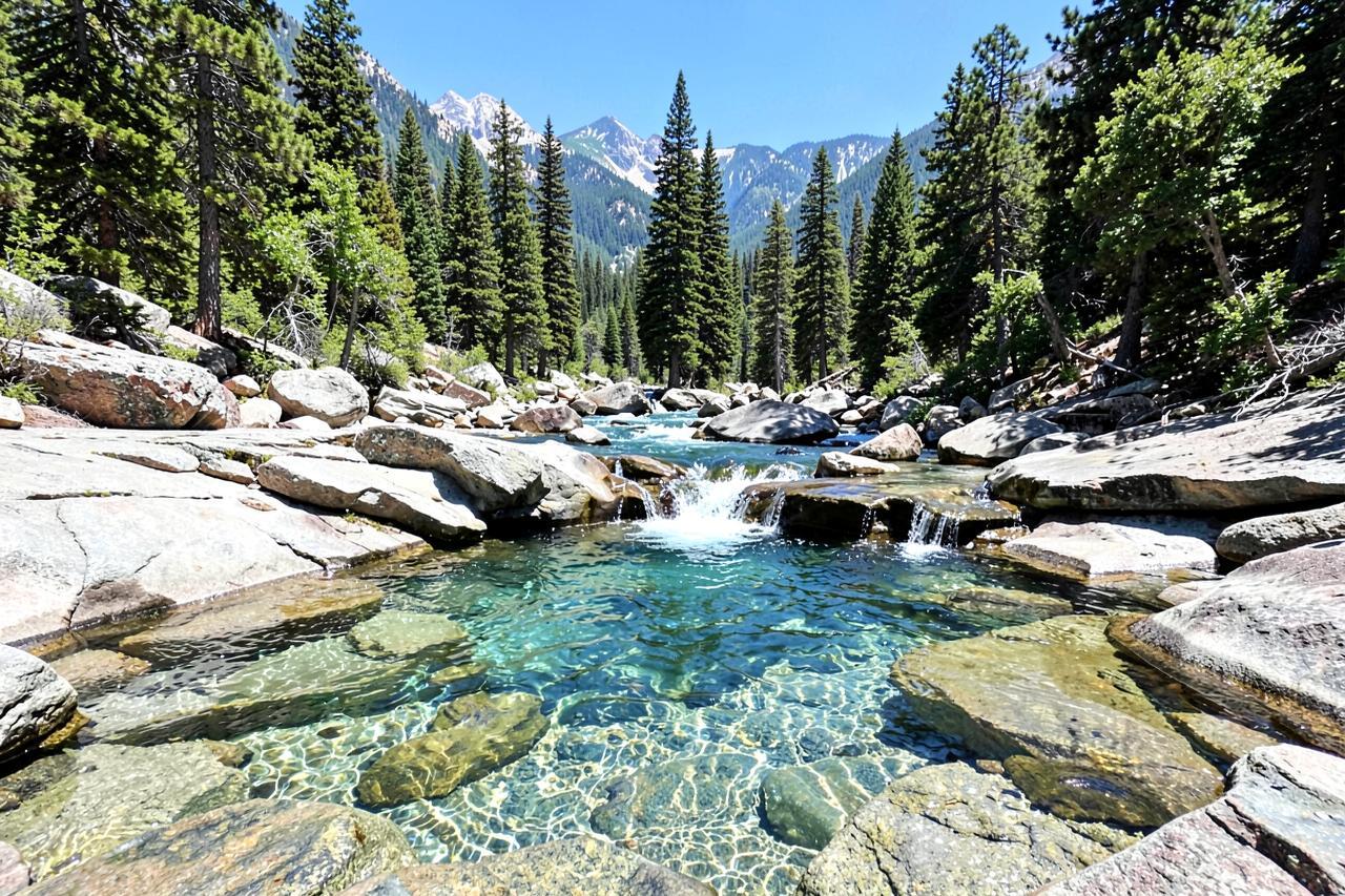
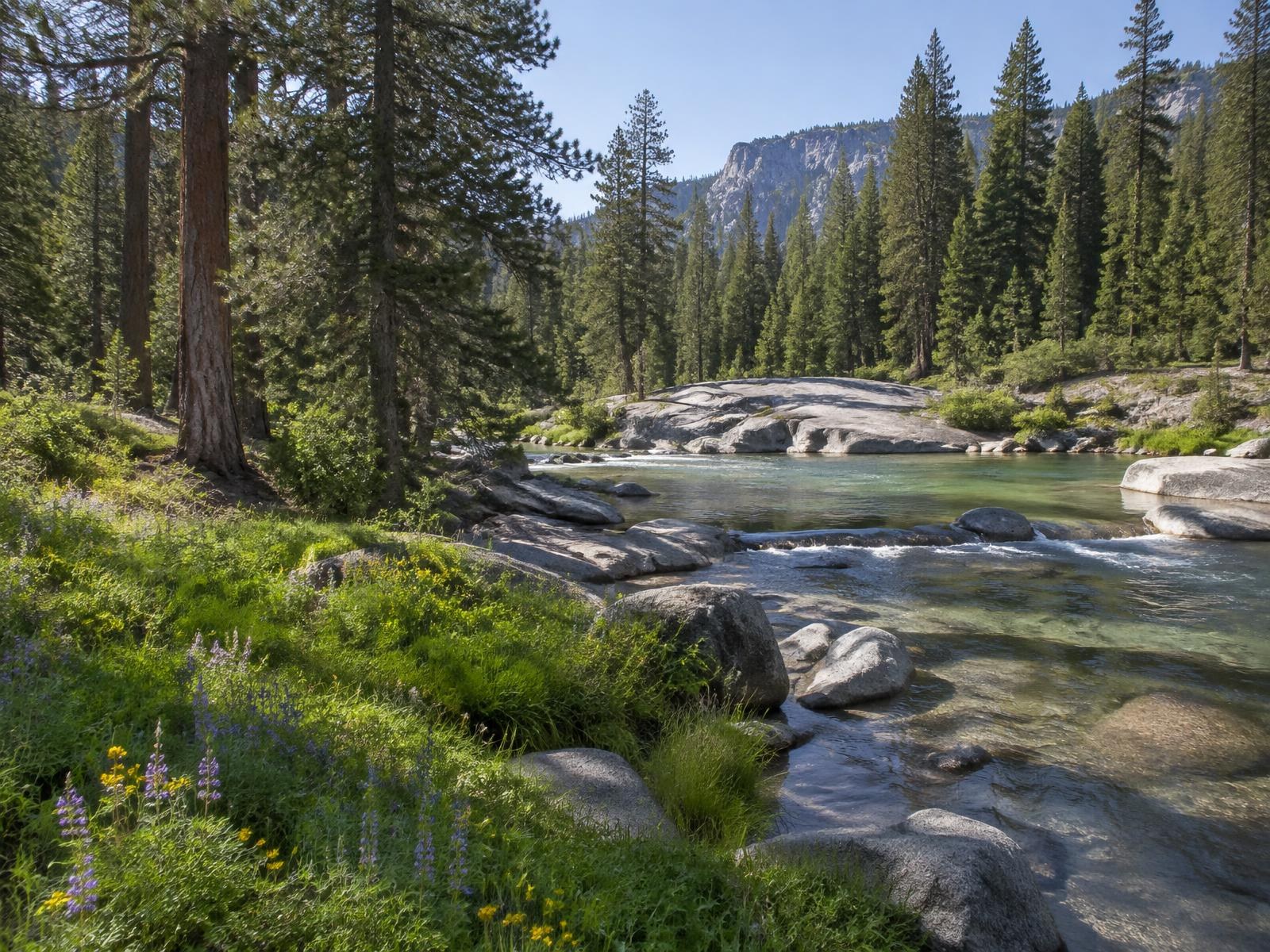
The side roads north of town lead to the best water in this corridor: granite pools and small waterfalls on the Tuolumne drainage, cold and clear, with slabs to lie on. Rainbow Pool, right off Highway 120, is the easy one — a pool below a low waterfall a few steps from the parking area. Carlon Falls, further east, is a mile and a half of flat river walking to a broad falls in the trees.
Flow makes the day. In May and June these are powerful and genuinely dangerous; by late July they are swimmable and pleasant. Never jump into water you have not looked into first, and take the fire restrictions seriously — this canyon burns.
The drive and the fire history
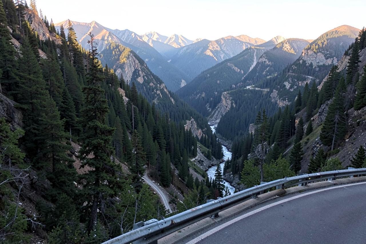
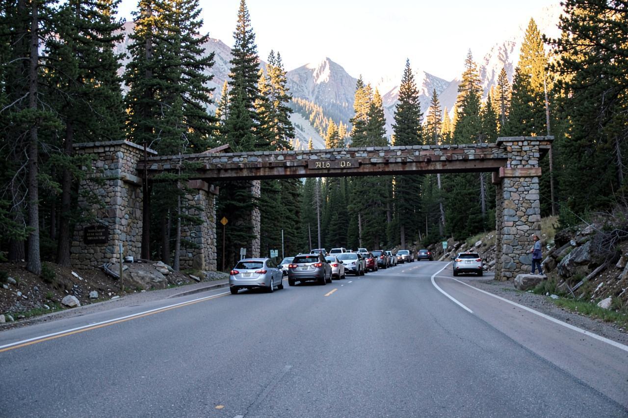
Highway 120 east of Groveland is a beautiful, exposed mountain road that drops in and out of the Tuolumne canyon with long views and few guardrails. It also runs through country burned by the 2013 Rim Fire, so expect stretches of standing dead timber and young forest alongside old growth — it is part of the story of the corridor now.
Winter changes this road. It is plowed as the main west entrance to Yosemite, but chain controls are common and closures happen. Check Caltrans before you commit.
Where to stay
Groveland has a handful of small hotels and inns, all of them priced by their proximity to Yosemite. If the park is one day in a longer mountain week, the cabins in Arnold are cooler, quieter and a good deal cheaper — with sequoias, caverns and lakes on their own doorstep.
Nearby
Keep exploring
Good to know
Frequently asked questions
How far is Groveland from Arnold?+
About 70 miles by road via Highway 4, Highway 49 and Highway 120 — roughly an hour and three quarters.
How far is Groveland from the Yosemite entrance?+
About half an hour east to the Big Oak Flat entrance, and roughly an hour and a quarter to the Valley floor.
Is Rainbow Pool safe to swim?+
In late summer, when the flow drops, it is a popular swimming hole. In spring runoff it is dangerous. Look before you enter, never jump blind, and follow posted warnings.