
Trip planning
Real Sierra Drive Times, Measured Not Estimated
Every itinerary you read invents these numbers. We drive them. Below is the measured driving time from San Francisco, Sacramento, Stockton and Modesto to every destination that matters on the central Sierra's two main corridors, with what winter adds to each one — plus the seasonal closure dates for Ebbetts, Sonora and Tioga passes and the live Caltrans picture for all three, further down the page.
Trip planning
First things first: why published Sierra drive times are wrong
September 13, 2026
Two things break the numbers in most travel articles. The first is that mapping software gives you a time for an empty road, and the roads that matter here are not empty at the times you will use them: Highway 4 above Angels Camp on a Friday evening in ski season, Highway 120 into Yosemite on a summer Saturday morning, and Highway 108 out of Sonora on a Sunday afternoon each run twenty to forty minutes longer than the estimate.
The second is elevation. These are not motorways. Highway 4 climbs from 1,400 feet at Angels Camp to 8,730 at Ebbetts Pass, mostly on two lanes with no passing, and one slow truck sets the pace for everyone behind it for twenty miles. A 60-mile leg here is not an hour.
Every figure in the table is measured door to door in ordinary daytime conditions, and the winter allowance column is what to add for a wet or snow-covered road, not for a storm. In an active storm the honest answer is to wait it out.
The data
Measured drive times to the central Sierra
Door-to-door times in normal daytime traffic, rounded to five minutes, driven within the last two seasons. Winter allowance is what to add for wet or snowy road in December to March, not for a storm — in a storm the answer is do not go.
| Angels Camp | Highway 4 | 1,400 | 2 h 20 m | 1 h 50 m | 1 h 05 m | 1 h 10 m | None | Year round |
| Murphys | Highway 4 | 2,200 | 2 h 30 m | 2 h 00 m | 1 h 15 m | 1 h 20 m | 5 minutes | Year round |
| Arnold | Highway 4 | 4,000 | 2 h 50 m | 2 h 15 m | 1 h 35 m | 1 h 40 m | 15 minutes | Year round |
| Calaveras Big Trees | Highway 4 | 4,700 | 3 h 00 m | 2 h 20 m | 1 h 40 m | 1 h 45 m | 15 minutes | Year round |
| Bear Valley | Highway 4 | 7,100 | 3 h 30 m | 2 h 55 m | 2 h 15 m | 2 h 20 m | 30–60 minutes | Year round to the village |
| Lake Alpine | Highway 4 | 7,300 | 3 h 40 m | 3 h 05 m | 2 h 25 m | 2 h 30 m | Closed | Late May to October |
| Ebbetts Pass summit | Highway 4 | 8,730 | 4 h 10 m | 3 h 35 m | 2 h 55 m | 3 h 00 m | Closed | Late May to November |
| Sonora | Highway 108 | 1,800 | 2 h 40 m | 2 h 20 m | 1 h 25 m | 1 h 15 m | None | Year round |
| Columbia | Highway 49 | 2,100 | 2 h 45 m | 2 h 15 m | 1 h 30 m | 1 h 20 m | None | Year round |
| Twain Harte | Highway 108 | 3,600 | 3 h 00 m | 2 h 35 m | 1 h 45 m | 1 h 35 m | 10 minutes | Year round |
| Dodge Ridge | Highway 108 | 6,600 | 3 h 30 m | 3 h 05 m | 2 h 15 m | 2 h 05 m | 30–60 minutes | Year round to the base |
| Pinecrest Lake | Highway 108 | 5,600 | 3 h 25 m | 3 h 00 m | 2 h 10 m | 2 h 00 m | 30 minutes | Year round |
| Kennedy Meadows | Highway 108 | 6,400 | 4 h 00 m | 3 h 35 m | 2 h 45 m | 2 h 35 m | Closed | Late May to October |
| Sonora Pass summit | Highway 108 | 9,624 | 4 h 15 m | 3 h 50 m | 3 h 00 m | 2 h 50 m | Closed | Late May to November |
| Groveland | Highway 120 | 3,100 | 2 h 50 m | 2 h 40 m | 1 h 50 m | 1 h 25 m | 10 minutes | Year round |
| Hetch Hetchy | Highway 120 | 3,800 | 3 h 40 m | 3 h 30 m | 2 h 40 m | 2 h 15 m | Gate hours vary | Year round, daylight only |
| Yosemite Valley | Highway 120 | 4,000 | 3 h 55 m | 3 h 40 m | 2 h 50 m | 2 h 20 m | 30–60 minutes | Year round |
| Tioga Pass summit | Highway 120 | 9,945 | 5 h 15 m | 5 h 00 m | 4 h 10 m | 3 h 45 m | Closed | Late May or June to November |
| Jackson | Highway 49 | 1,200 | 2 h 25 m | 1 h 05 m | 1 h 10 m | 1 h 30 m | None | Year round |
| Placerville | Highway 50 | 1,900 | 2 h 20 m | 0 h 50 m | 1 h 30 m | 1 h 50 m | None | Year round |
Click any column heading to sort. Free to reuse with attribution.
How far up each corridor goes
Summit elevation of the three seasonal passes, and the elevation of the towns below them. Everything above about 6,500 feet is winter-closed.
-
Tioga Pass (SR 120)9,945 ft
Highest paved pass in California
-
Sonora Pass (SR 108)9,624 ft
Steepest — 26 percent grades
-
Ebbetts Pass (SR 4)8,730 ft
Narrowest, no centre line for miles
-
Bear Valley village7,100 ft
-
Dodge Ridge base6,600 ft
-
Arnold4,000 ft
Where the cabins are — the snow line, roughly
Sources
- Drive times: measured door to door by us in normal daytime traffic across the 2025 and 2026 seasons, rounded to five minutes.
- Seasonal closure points and responsibilities: Caltrans District 10 mountain passes programme (Ebbetts, Sonora and Monitor) and the National Park Service for Tioga Road.
- Tioga opening and closing dates: National Park Service historical seasonal opening and closing dates for Yosemite, 1933 to present.
- Elevations: US Geological Survey.
The three seasonal passes, and when they actually open
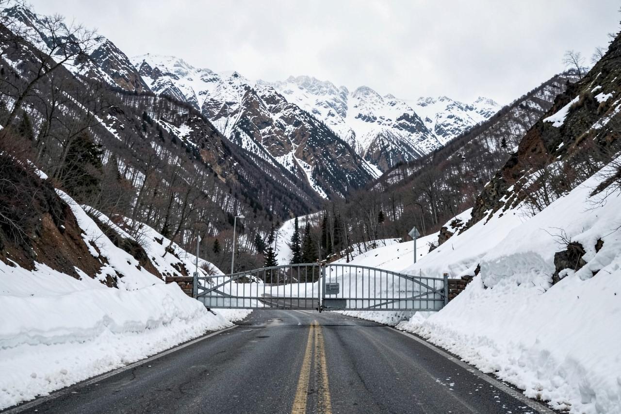
Three passes cross the central Sierra and all three close for winter. Caltrans District 10 shuts and reopens Ebbetts (State Route 4) and Sonora (State Route 108); the National Park Service handles Tioga Road (State Route 120) inside Yosemite. Nobody publishes a date in advance, because the date is decided by snowpack and avalanche risk, not the calendar.
The pattern from the records is consistent enough to plan around. Closure comes with the first sustained storm, typically the first half of November and occasionally late October. Reopening is late May in an average year, mid-May in a light one, and July in a heavy one — the Park Service starts clearing Tioga around 15 April and the job takes one to two months. Ebbetts and Sonora tend to open within a week or two of each other and usually a little before Tioga.
The practical consequence for a Memorial Day trip is that you should not assume any of the three is open. Plan the trip so it works with the passes closed, and treat an open pass as a bonus.
Closes: early November, give or take. Opens: late May, give or take a month. No exceptions and no announcements.
Ebbetts (SR 4): 8,730 ft, Caltrans · Sonora (SR 108): 9,624 ft, Caltrans · Tioga (SR 120): 9,945 ft, National Park Service
Road conditions
Highway 4 and Ebbetts Pass right now
Live from Caltrans, so the pass rows above can be checked against today rather than an average year.
- Reference point
- Bear Valley, California — 7,100 ft
- Sources
- Caltrans & National Weather Service
Chain control
None reported
Closures
None reported
Mountain temp
64°F
Sky
Clear
Snow next 24h
0"
Snow next 72h
0"
Snow level
10,900 ft
SR 41-way controlled traffic at various locations from Bacon Island Rd to Tracy Boulevard /in Stockton/ (San Joaquin Co) from 0700 hrs to 1800 hrs Wednesday thru Friday thru 9/11/26 - Due to maintenance
SR 41-way controlled traffic at various locations from Angel Oaks Dr to Six Mile Creek (Calaveras Co) from 0630 hrs to 1830 hrs Wednesday thru Friday thru 9/11/26 - Due to maintenance
Read Sep 12, 4:37 PM Pacific time, from a Caltrans report dated Saturday, September 12th, 2026 at 04:37 PM. Conditions change faster than any page can; treat this as a starting point and confirm with Caltrans before you drive.
Which corridor to use, and the mistake people make
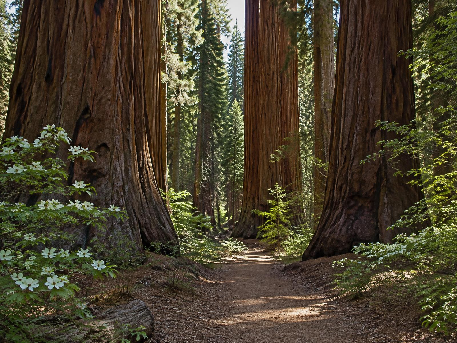
Highway 4 is the shortest way from the Bay Area to a giant sequoia grove and a ski hill: Angels Camp, Murphys, Arnold, Calaveras Big Trees, Bear Valley. Highway 108 is the Sonora corridor and gives you Twain Harte, Pinecrest and Dodge Ridge. Highway 120 is the Yosemite road through Groveland. Highway 49 crosses all three and joins the Gold Rush towns.
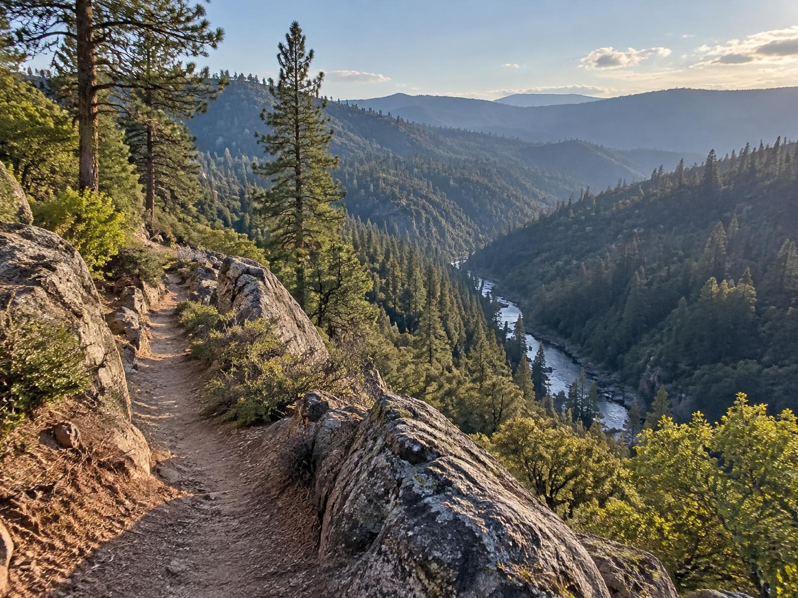
The mistake is treating them as interchangeable because they look close together on a map. There is no quick way between the upper ends of Highway 4 and Highway 108 in winter — the connecting roads over the ridge are unploughed forest routes — so a trip from Bear Valley to Dodge Ridge means coming most of the way back down to the foothills. That is 90 minutes in either direction, not the twenty the map implies.
On the map the two ski hills are fifteen miles apart. On the road, in February, they are an hour and a half.
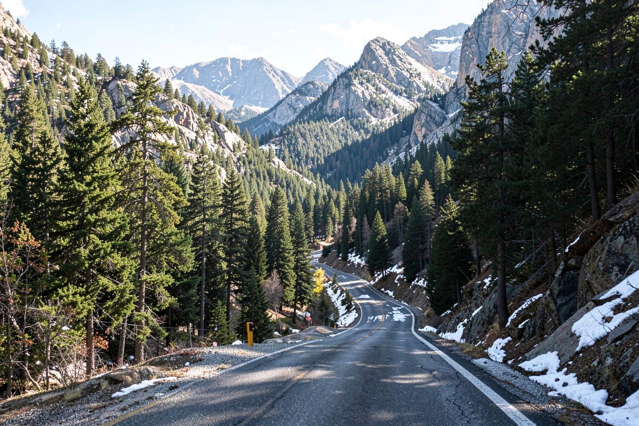
Rule of thumb: pick one corridor per trip below the snow line, or accept the descent between them
What winter really adds
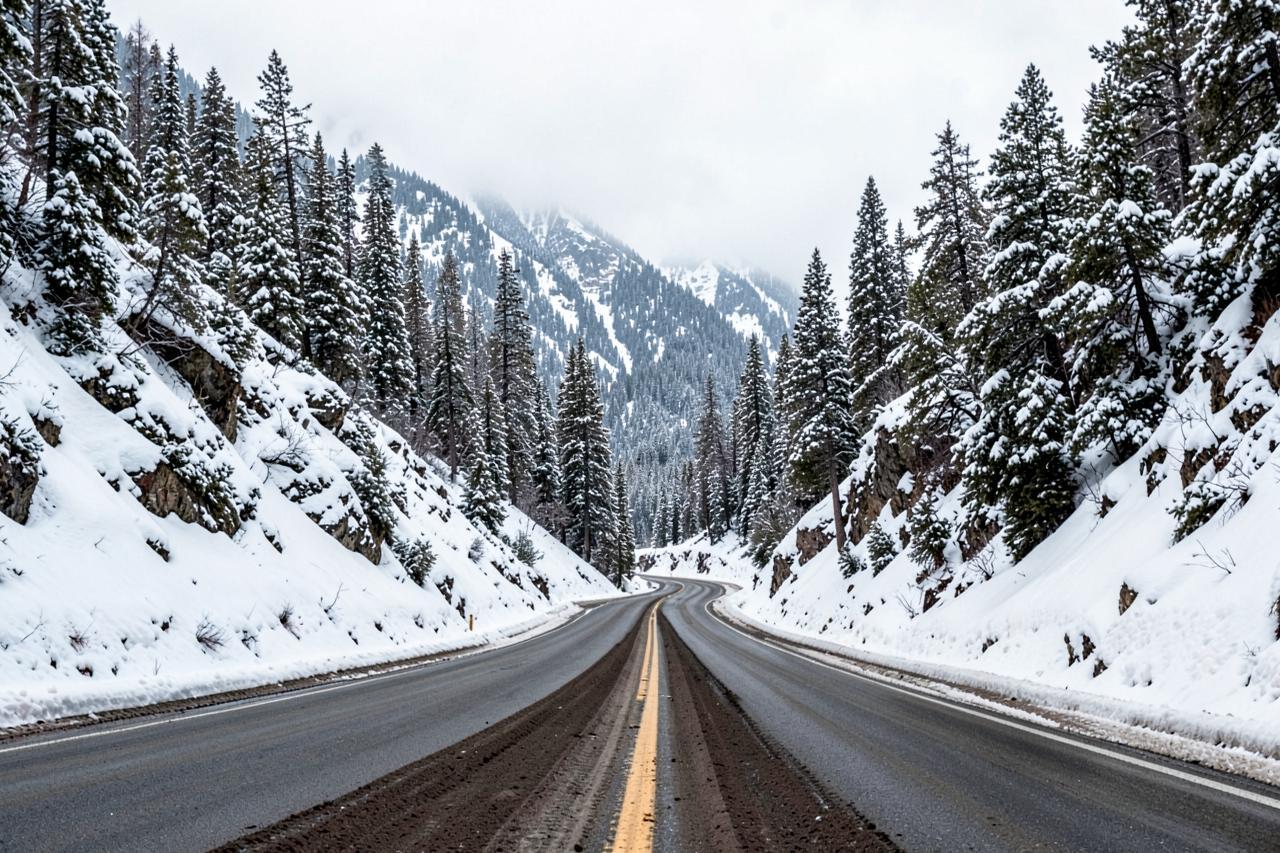
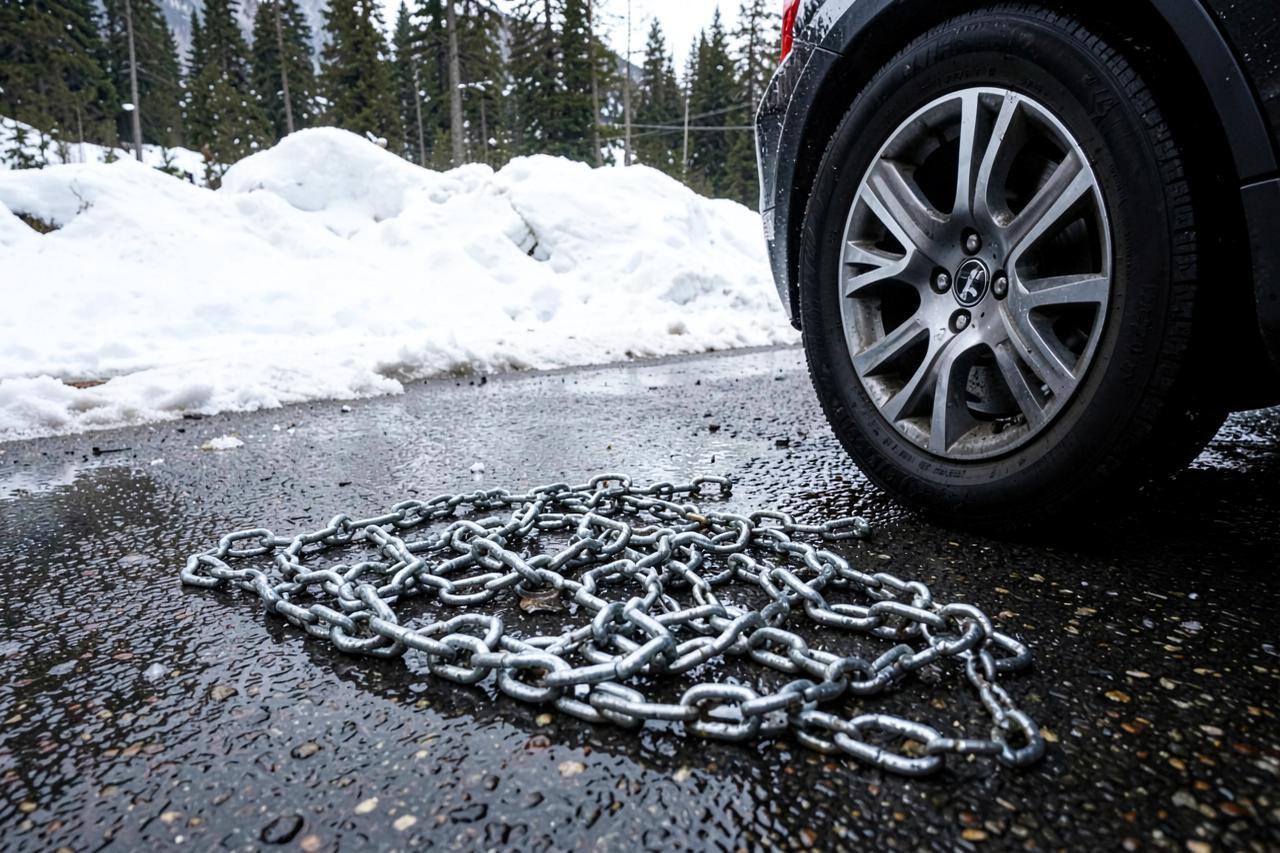
Between roughly 4,000 and 5,000 feet — which includes Arnold and Twain Harte — a snowy road adds ten to twenty minutes and nothing more dramatic. Above 6,000 feet, chain control is the variable that matters: R1 and R2 restrictions mean chains unless you have four-wheel drive with snow tyres, and they are enforced at a checkpoint you cannot drive around. Fitting chains in a lay-by in the dark costs half an hour before you have moved.
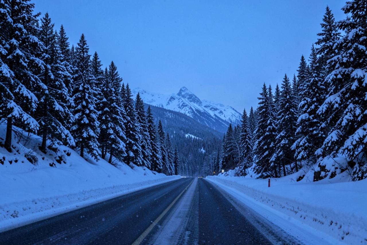
The other winter cost is daylight. These roads are unlit, deer are active at dusk, and the last hour of a mountain drive in the dark in falling snow is the part people underestimate. Our own rule for guests is to be off Highway 4 above Arnold by nightfall in a storm.
Add half an hour above 6,000 feet in winter, and another half hour if you have to fit chains.
Carry: chains for your tyre size, a torch, gloves and a full tank from the foothills — there is no fuel above Arnold on Highway 4
Day trips and weekend trips from the Bay Area, honestly assessed
As a day trip from San Francisco, the central Sierra is at the edge of reasonable. Calaveras Big Trees is three hours each way, which is six hours of driving for four hours of trees — doable, and plenty of people do it, but it is a long day. Columbia and Murphys at two hours forty-five are a genuinely comfortable day out. Yosemite Valley at just under four hours each way is not a day trip, whatever the roundups say.
As a weekend, everything changes. Two nights at 4,000 feet puts the sequoias, three Gold Rush towns, a ski hill and a river canyon inside an hour of the front door, and you drive the long leg once in each direction rather than twice in a day.
The honest line: two and a half hours is a day trip, three and a half is a weekend.
From San Francisco: Murphys 2 h 30 m · Big Trees 3 h · Bear Valley 3 h 30 m · Yosemite Valley 3 h 55 m
Road conditions
Highway 108 and Sonora Pass right now
The Sonora corridor, updated from the same Caltrans feed.
- Reference point
- Pinecrest, California — 5,600 ft
- Sources
- Caltrans & National Weather Service
Chain control
None reported
Closures
None reported
Mountain temp
76°F
Sky
Clear
Snow next 24h
0"
Snow next 72h
0"
Snow level
10,700 ft
SR 108[IN THE CENTRAL CALIFORNIA AREA & SIERRA NEVADA] [YOSEMITE NAT'L PARK] For Yosemite Nat'l Park road information call 209-372-0200
Read Sep 12, 4:37 PM Pacific time, from a Caltrans report dated Saturday, September 12th, 2026 at 04:37 PM. Conditions change faster than any page can; treat this as a starting point and confirm with Caltrans before you drive.
Where to stay in the middle of it
Arnold sits at 4,000 feet on Highway 4, which is the reason the drive-time column for the cabins reads the way it does: twenty minutes to the sequoias, forty minutes to Bear Valley, fifteen to Murphys, an hour to Columbia and Sonora, and an hour and a half to the Highway 108 ski hill. It is also below the usual snow line, so the road to the door is ploughed and you drive up to the snow rather than living in it.
Both our cabins are on that road, and every number on this page was measured from one of their driveways.
Cite this page
Free to quote, chart or screenshot — a credit and a link is all we ask
This page is kept up to date on purpose so it can be cited. Copy the line below, or link to the stable URL.
Arnold Haven, "Real Sierra Drive Times, Measured Not Estimated", updated 13 September 2026. https://arnoldhaven.com/guides/sierra-drive-times
- Stable URL
- https://arnoldhaven.com/guides/sierra-drive-times
- Last updated
- 13 September 2026
- Publisher
- Arnold Haven, Arnold, California
Good to know
Frequently asked questions
How long is the drive from San Francisco to the Sierra Nevada?+
To the foothill Gold Rush towns, about two and a half hours. To Calaveras Big Trees and the first sequoias, three hours. To Bear Valley at 7,100 feet, three and a half. To Yosemite Valley, just under four. All measured door to door in normal daytime traffic.
When does Tioga Pass open?+
Usually late May or June. Clearing of Tioga Road begins around 15 April each year and takes one to two months depending on snowpack; the National Park Service publishes historical opening dates back to 1933 and does not forecast the date in advance. It closes with the first sustained storm, typically in November.
When do Ebbetts Pass and Sonora Pass open and close?+
Caltrans District 10 closes both with the first sustained snow, usually in the first half of November, and reopens them in late May in an average year — earlier in a light winter, as late as July in a heavy one. No date is announced in advance.
How many state parks are there in California?+
280 units in the California State Parks system, covering about 1.6 million acres. Four of them are in this guide's area: Calaveras Big Trees, Columbia, Marshall Gold Discovery and Indian Grinding Rock.
Is Highway 4 over Ebbetts Pass a scenic byway?+
Yes. The Ebbetts Pass National Scenic Byway runs 61 miles from Arnold to Markleeville and holds both state and national scenic byway designation. The section above Lake Alpine is single-track in places with no centre line and is not suitable for large vehicles or trailers.
Do I need chains to drive to the Sierra in winter?+
You need to be carrying them. Chain controls above about 6,000 feet are enforced at checkpoints, and R2 means chains on all vehicles except four-wheel drive with snow tyres on all four wheels. Below 5,000 feet the roads are usually ploughed bare, but the requirement to carry chains still applies.