
Explore Arnold
Highway 4 conditions
Chain control, closures and storm-day reality on Highway 4 between Arnold, Bear Valley and Ebbetts Pass — with live Caltrans advisories and the mountain forecast, refreshed through the day.
First things first
First things first
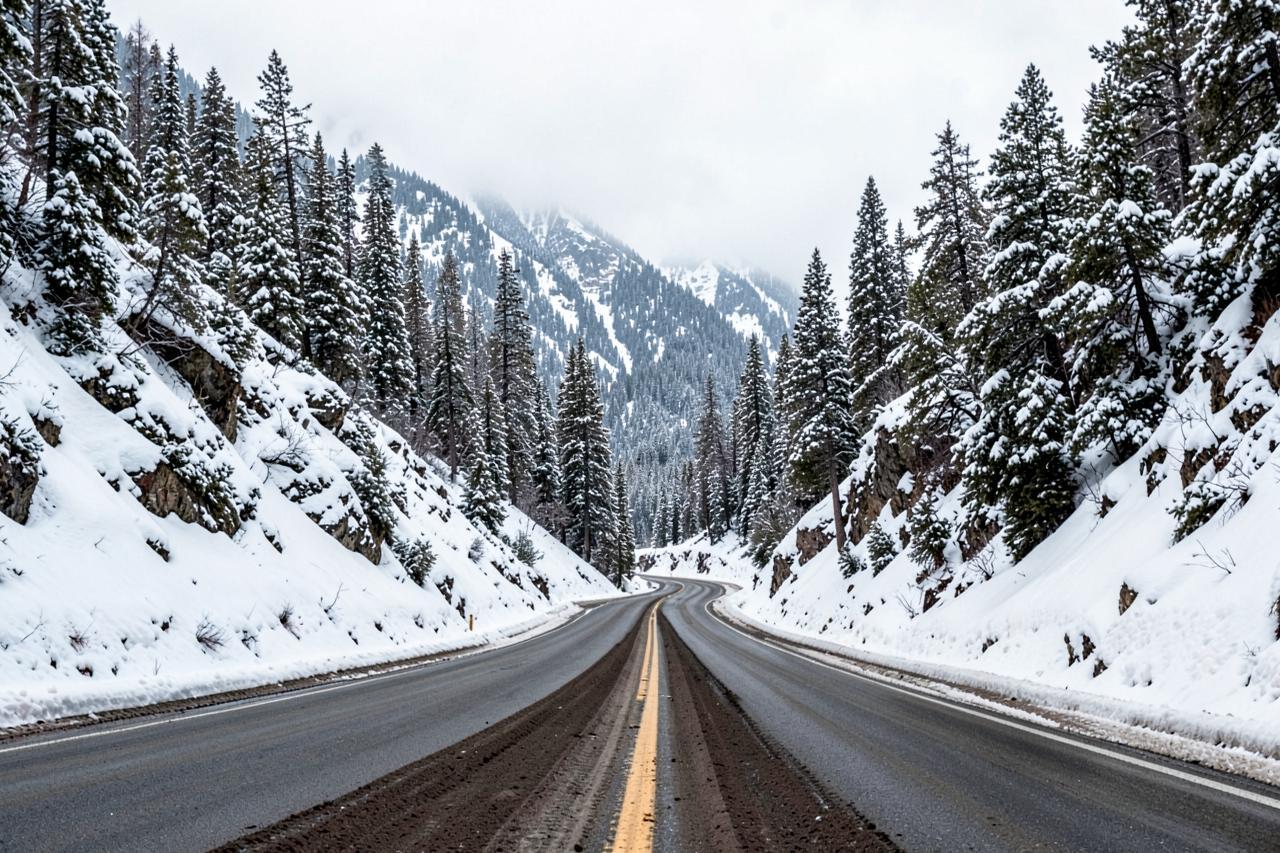
Highway 4 is the cabins' own road. Chalet Bruin and Koda Loft sit at about 4,000 feet in Arnold, right on the highway, and everything above them — Calaveras Big Trees, Lake Alpine, Bear Valley, Ebbetts Pass — hangs off the same two lanes. In summer the drive is easy. Between November and April it is the single thing most likely to change your plans.
The honest version: the road to the cabins is plowed and maintained all winter, and in most storms you can reach the door in a normal car with chains in the boot. Above Bear Valley the highway is not maintained in winter at all — the gate closes at Lake Alpine and Ebbetts Pass stays shut until late spring. Between those two facts sits everything worth knowing.
Geography
Where Highway 4 conditions sits
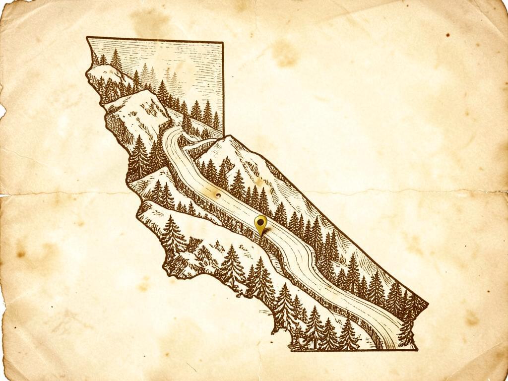
Highway 4 climbs from the Central Valley through Angels Camp and Arnold to Bear Valley, then over Ebbetts Pass into Alpine County — the last stretch closed by snow each winter.
Chain controls are common between November and April, and the gate near Lake Alpine typically shuts from November until late spring.
Chalet Bruin and Koda Loft are on this road: Big Trees is five minutes up it, Bear Valley about 45 minutes, and the winter gate roughly an hour.
- Region
- Central Sierra Nevada, the Ebbetts Pass corridor
- County
- Calaveras and Alpine Counties
- Elevation
- About 4,000 ft in Arnold, 8,730 ft at Ebbetts Pass
- Nearest town
- Arnold, where both cabins sit on the highway
- Getting there
- Highway 4 east from Angels Camp; maintained in winter as far as Bear Valley
Road conditions
Highway 4 — Arnold to Bear Valley right now
Chain control, closures and roadwork as Caltrans last reported them, with the mountain forecast for Bear Valley, California from the National Weather Service.
- Reference point
- Bear Valley, California — 7,100 ft
- Sources
- Caltrans & National Weather Service
Chain control
None reported
Closures
None reported
Mountain temp
64°F
Sky
Clear
Snow next 24h
0"
Snow next 72h
0"
Snow level
10,900 ft
SR 41-way controlled traffic at various locations from Bacon Island Rd to Tracy Boulevard /in Stockton/ (San Joaquin Co) from 0700 hrs to 1800 hrs Wednesday thru Friday thru 9/11/26 - Due to maintenance
SR 41-way controlled traffic at various locations from Angel Oaks Dr to Six Mile Creek (Calaveras Co) from 0630 hrs to 1830 hrs Wednesday thru Friday thru 9/11/26 - Due to maintenance
Read Sep 12, 4:37 PM Pacific time, from a Caltrans report dated Saturday, September 12th, 2026 at 04:37 PM. Conditions change faster than any page can; treat this as a starting point and confirm with Caltrans before you drive.
Chain control, in plain terms
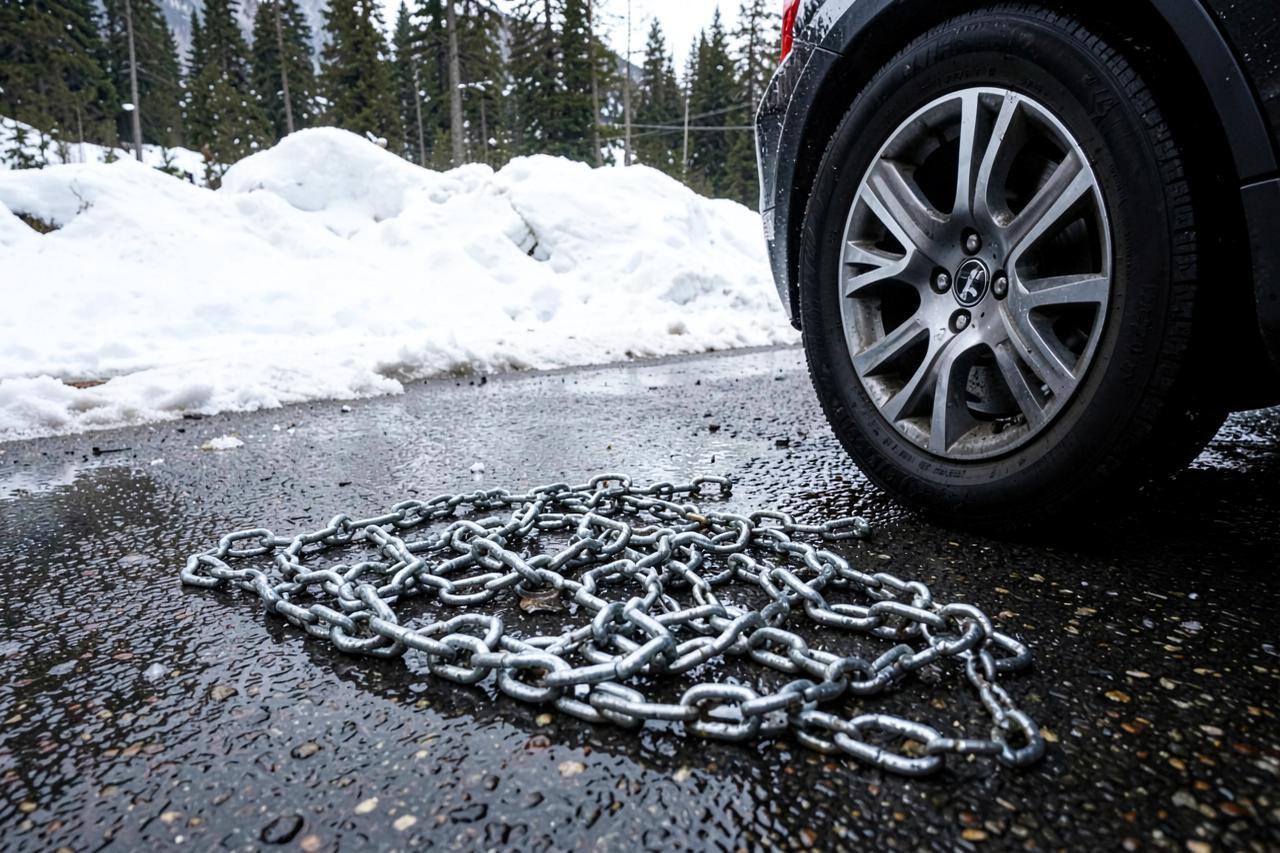
California posts three levels. R1 means chains or snow tyres. R2 means chains on all vehicles except four-wheel drive with snow tyres on all four corners. R3 means chains on everything, no exceptions, and it is rare. Controls are posted and lifted by highway patrol and Caltrans crews as conditions move, often several times in a day.
What that means for a drive up from the valley: carry chains that fit your car from November through April even when the forecast is clear, and know how to fit them before you are lying in slush doing it for the first time. Chain installers often work the pull-outs during storms for cash. Rental cars usually forbid chains in the contract, which is worth reading before you book one for a February stay.
What actually closes, and when
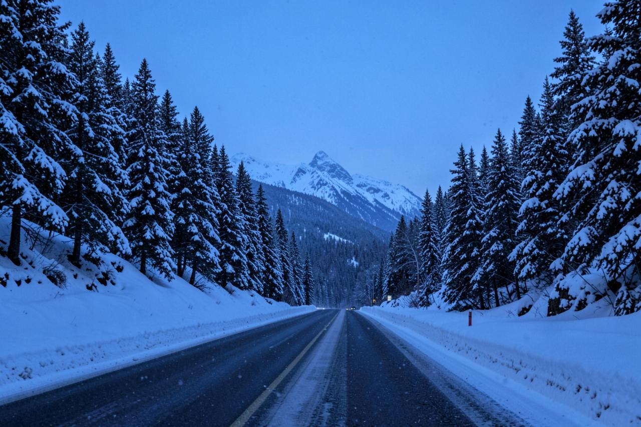
The stretch from Arnold up to the Bear Valley turnoff is kept open through the winter; it is the road the ski area, the village and the residents depend on. Storm closures do happen, usually for a few hours while crews clear a slide or a spun-out truck, and they are lifted as soon as the road is passable.
Above Bear Valley, Highway 4 over Ebbetts Pass is a seasonal road. The gate near Lake Alpine typically closes with the first serious storm in November and reopens somewhere between late May and early July depending on the snow year. It is narrow, has no centre line in places, and is not a route to attempt with a trailer in either direction.
Driving it well
Leave earlier than the map says. The climb from Angels Camp to Arnold gains 3,000 feet and the last stretch is a series of long curves that get slick in the dark. Fill up in Angels Camp or Arnold rather than counting on fuel higher up, and keep a blanket, water and a torch in the car during winter — a two-hour closure with children in the back is much easier with those.
Snow level matters more than snowfall totals. When the forecast puts the snow level near 4,000 feet, Arnold gets the wet, heavy stuff and the drive up is the hard part; when it drops to 2,500 feet the whole highway is winter driving. The live band above shows the current snow level for the corridor for exactly that reason.
Where to stay on this road
Both cabins sit in Arnold, on the maintained side of the highway, with parking cleared and a hot tub for after a day in the snow. That means a storm day is a reason to stay put rather than a reason to cancel — the sledding hills, Big Trees and Bear Valley are all above you when the road opens, and the grocery store is minutes away when it does not.
Nearby
Keep exploring
Good to know
Frequently asked questions
Do I need chains to reach the cabins in winter?+
Often, yes. Highway 4 to Arnold is plowed all winter, but chain controls are posted during and after storms. Carry chains that fit your car from November through April and check the live band above plus Caltrans before you set off.
Is Highway 4 open over Ebbetts Pass in winter?+
No. The highway above Bear Valley is not maintained in winter; the gate near Lake Alpine usually closes in November and reopens between late May and early July depending on snowpack. Caltrans announces the opening each spring.
How long is the drive from the valley to Arnold?+
Roughly an hour from Stockton and about two and a half hours from the Bay Area in good conditions. In a winter storm, add an hour and expect to stop to fit chains.
Where can I check conditions myself?+
Caltrans road information for Highway 4, the Caltrans QuickMap live map, or 1-800-427-7623. The band at the top of this page reads the same Caltrans source and stamps it with the time it was read.