
Gold Country
The Gold Rush Towns of Highway 49, Compared
Between 1848 and 1855 a few hundred thousand people arrived in a strip of California foothills about 300 miles long. Some of the camps they built are still ordinary working towns; some are preserved parks; some are a cemetery and a chimney. This table sorts every town on Highway 49 by what actually survives, what it was at its peak, what it is now, and whether your children can pan for gold there. We live on this road, so the drive times are measured rather than guessed.
Gold Country
First things first: what caused it, and why these towns are where they are
September 13, 2026
On 24 January 1848 a carpenter named James Marshall, building a sawmill for John Sutter on the South Fork of the American River, saw flakes in the tailrace. Word reached San Francisco in March, the eastern papers by August, and the President confirmed it to Congress in December. Something like 300,000 people arrived over the next seven years, and California went from a territory of a few thousand non-native residents to statehood in 1850.
The reason the towns sit where they do is water. Gold collected in the gravels of the rivers draining the western Sierra, so camps sprang up on every creek from the Yuba down to the Tuolumne, roughly along the 1,000-to-2,000-foot contour. Highway 49 was built later to join them, which is why it wanders — it is following the diggings, not the geography.
The interesting question for a visitor is not which towns had gold. They all did. It is what happened after: whether a town found a second economy, became a park, or simply emptied. That is what the table above sorts by.
The data
The Gold Rush towns, then and now
Sort by peak population, by what survives or by drive time. Population then is the commonly cited boom-years figure; population now is the most recent census count for the town or its census-designated place.
| Coloma | El Dorado | 1,848 | 4,000 | 500 | Sawmill replica, 20+ original buildings, the discovery site | State historic park | Yes — park-run | 1 h 00 m | 2 h 30 m |
| Placerville | El Dorado | 1,848 | 6,000 | 11,000 | Main Street, Gold Bug Mine, the hanging-tree cellar | Living city | Yes — at Gold Bug Park | 0 h 50 m | 2 h 20 m |
| Amador City | Amador | 1,853 | 1,500 | 200 | One brick street, Imperial Hotel, Keystone Mine headframe | Smallest incorporated city in California | No | 1 h 05 m | 2 h 20 m |
| Sutter Creek | Amador | 1,848 | 2,000 | 2,500 | Intact 1850s–70s Main Street, Knight Foundry | Living city | No | 1 h 00 m | 2 h 20 m |
| Jackson | Amador | 1,848 | 3,000 | 4,700 | National Hotel, Kennedy Mine, two 58-ft tailing wheels | Living city and county seat | No | 1 h 05 m | 2 h 25 m |
| Volcano | Amador | 1,848 | 5,000 | 100 | St George Hotel, stone ruins, Old Abe the cannon | Near ghost town | No | 1 h 20 m | 2 h 40 m |
| Fiddletown | Amador | 1,849 | 2,000 | 100 | Chew Kee Store rammed-earth herb shop, blacksmith | Near ghost town | No | 1 h 15 m | 2 h 35 m |
| Mokelumne Hill | Calaveras | 1,848 | 5,000 | 650 | Hotel Leger, Congregational church, stone shells | Near ghost town | No | 1 h 25 m | 2 h 25 m |
| San Andreas | Calaveras | 1,848 | 2,000 | 2,800 | Old courthouse and the jail that held Black Bart | Living town and county seat | No | 1 h 40 m | 2 h 25 m |
| Angels Camp | Calaveras | 1,848 | 4,500 | 3,900 | Main Street, museum, Utica headframe, hard-rock shafts | Living city | No | 1 h 50 m | 2 h 20 m |
| Murphys | Calaveras | 1,848 | 3,000 | 2,200 | Murphys Hotel, stone-and-iron Main Street, Mercer Caverns | Living town, now wine country | No | 2 h 00 m | 2 h 30 m |
| Columbia | Tuolumne | 1,850 | 6,000 | 2,300 | Twelve blocks of original brick town, in full operation | State historic park and living village | Yes — Matelot Gulch | 2 h 15 m | 2 h 45 m |
| Sonora | Tuolumne | 1,848 | 5,000 | 5,000 | Washington Street, St James Episcopal, county museum | Living city and county seat | No | 2 h 20 m | 2 h 40 m |
| Jamestown | Tuolumne | 1,848 | 3,000 | 3,400 | Main Street, Railtown 1897 roundhouse and steam engines | Living town | Yes — commercial outfitters | 2 h 20 m | 2 h 35 m |
| Chinese Camp | Tuolumne | 1,849 | 5,000 | 100 | Post office, brick store ruins, tree-of-heaven groves | Ghost town | No | 2 h 15 m | 2 h 25 m |
| Groveland | Tuolumne | 1,849 | 2,000 | 600 | Iron Door Saloon, hotel, wooden storefronts | Living town, gateway to Yosemite | No | 2 h 40 m | 2 h 50 m |
Click any column heading to sort. Free to reuse with attribution.
The steepest falls: peak population against today
How much of the boom actually stayed. Figures are the percentage of the peak population still living there.
-
Volcano2%
5,000 at its peak, about 100 now
-
Chinese Camp2%
One of the largest Chinese communities in the state
-
Fiddletown5%
-
Mokelumne Hill13%
Was briefly the county seat
-
Amador City13%
-
Columbia38%
Saved by becoming a state park in 1945
-
Placerville183%
The one that kept growing
Sources
- Founding years and boom-era populations: California Office of Historic Preservation registered landmark files, county historical society records and California State Parks interpretive material for Columbia and Marshall Gold Discovery.
- Current populations: US Census Bureau, 2020 decennial counts for incorporated cities and census-designated places; figures for unincorporated hamlets are local estimates and are marked as such in the text.
- What survives: our own visits, plus the National Register of Historic Places district listings for Columbia, Volcano, Mokelumne Hill and Sutter Creek.
- Drive times: measured door to door in normal daytime traffic, rounded to five minutes.
Coloma: where it actually started
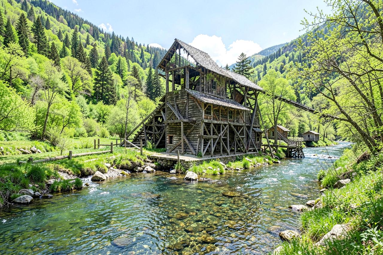
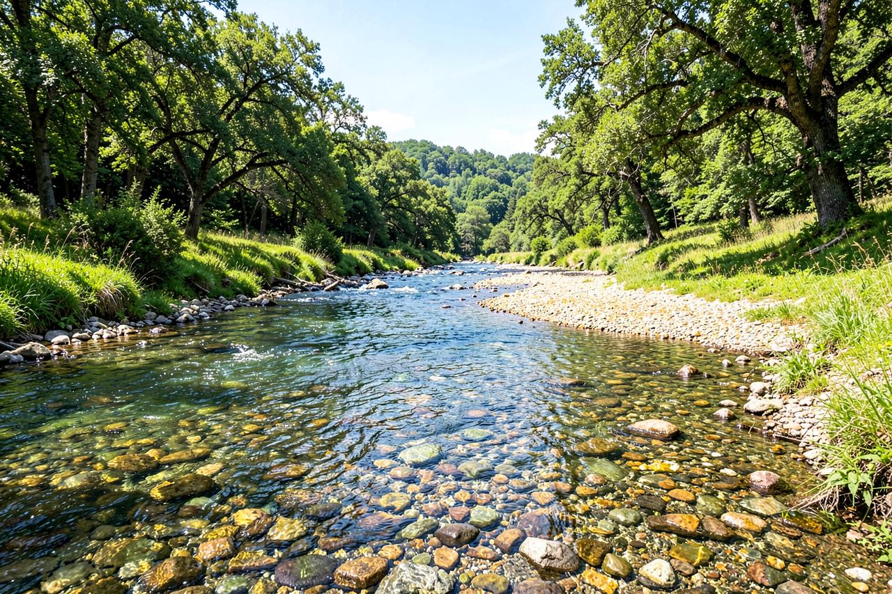
Marshall Gold Discovery State Historic Park covers most of the old town, and the discovery site itself is a marked spot on the river bank a short walk from the car park. There is a working replica of Sutter's Mill, more than twenty original buildings, and a gold-panning operation run by the park, which is the version we recommend for children because the staff explain what they are doing rather than just selling a pan.
The town never boomed for long — the gravels were worked out within a few years and the miners moved upriver — so what you get is a quiet river valley with an outsized story attached to it.
The one unarguable pilgrimage on this list, and the best panning for children anywhere in Gold Country.
Where: Highway 49 at Coloma, El Dorado County · Drive: 1 h from Sacramento, 2 h 30 m from San Francisco · Cost: $10 per vehicle day use
Columbia: the town that got preserved instead of demolished
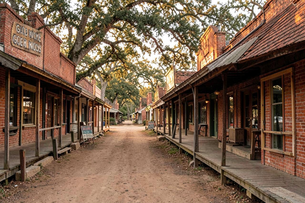
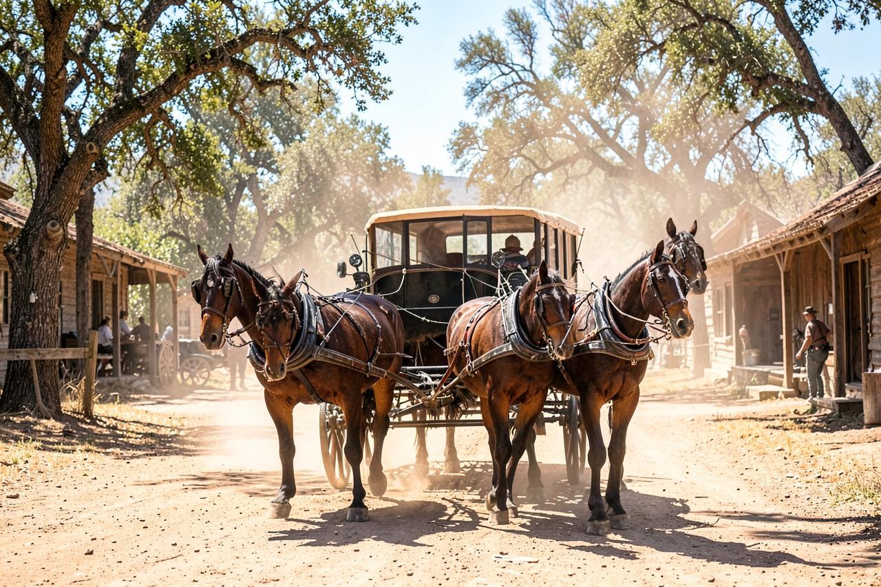
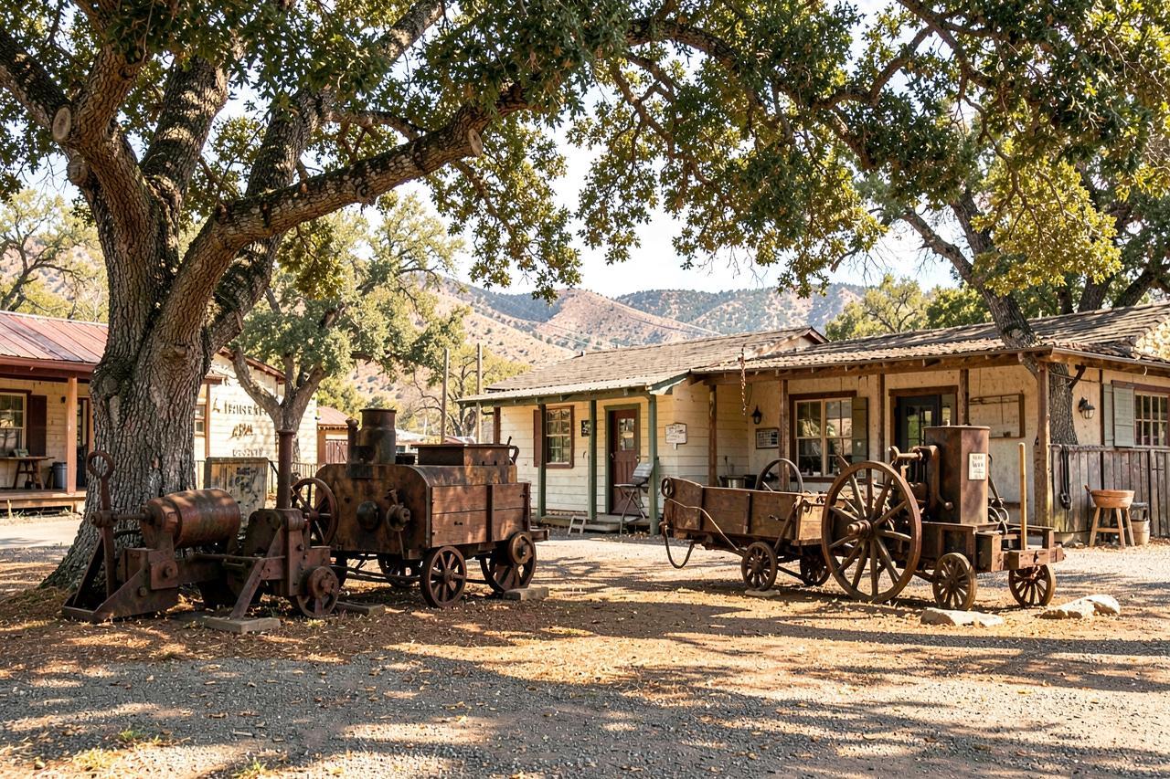
Columbia pulled something like $150 million of gold out of the ground in the 1850s at the prices of the day, held around six thousand people, burned twice, and was rebuilt in brick with iron shutters — which is exactly why it is still standing. In 1945 the state bought the core and made it a park, and the result is twelve blocks of genuine 1850s town where the businesses are actual businesses: a working blacksmith, a sweet shop, a saloon, a stagecoach that takes passengers.
It is the best answer on this list to "where can we take the children". Matelot Gulch runs the panning, the schoolhouse up the hill is original, and nothing about it feels like a re-enactment because the buildings were never faked.
A real Gold Rush town that happens to be a state park. No entry fee to walk in.
Where: Parrotts Ferry Road off Highway 49, Tuolumne County · Drive: 2 h 15 m from Sacramento, 55 minutes from our cabins · Cost: free to enter; parking, panning and the stagecoach are paid
Volcano: the closest thing to a ghost town you can still get a drink in
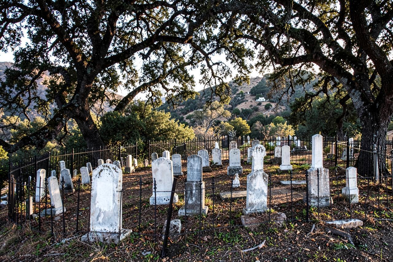
Five thousand people lived in this limestone bowl in the early 1850s. Roughly a hundred do now. What is left is unusually good: the St George Hotel from 1862 still takes guests and serves dinner, there are stone façades standing with nothing behind them, and Old Abe — a small cannon smuggled in during the Civil War to discourage Confederate sympathisers from seizing the local gold — sits under a shelter on the main street.
Daffodil Hill above the town is a private planting of hundreds of thousands of bulbs that used to open to visitors in March; check before you plan around it, as access has been closed in recent years.
A 98 percent population collapse, and the most atmospheric evening walk in Gold Country.
Where: Volcano, Amador County, off Highway 88 · Drive: 1 h 20 m from Sacramento, 1 h from our cabins · Cost: free
Ghost towns: Chinese Camp, Fiddletown and Mokelumne Hill
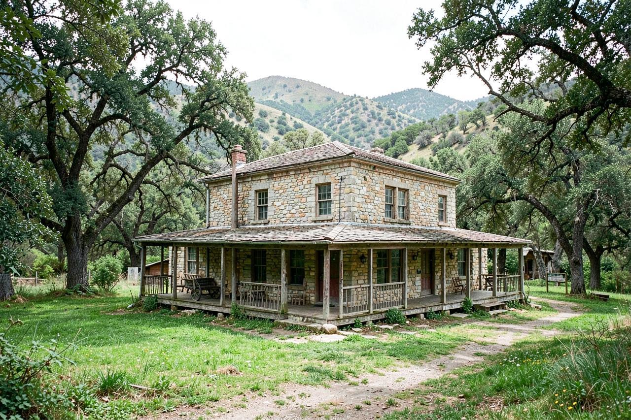
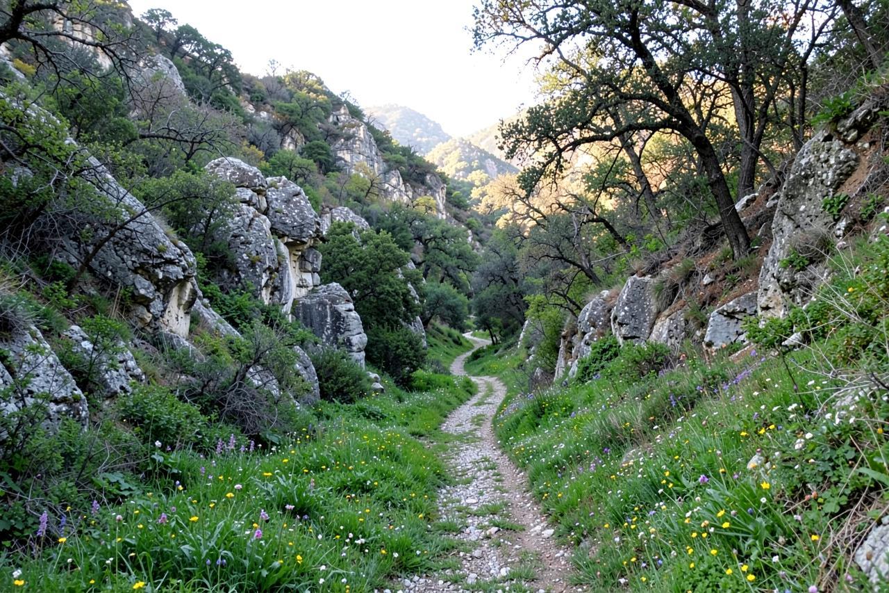
These are the three that come closest to the phrase people search for. Chinese Camp held several thousand Chinese miners in the 1850s and is now a post office, a handful of houses and brick shells swallowed by tree-of-heaven — the ornamental the miners planted, now growing wild over the ruins. Fiddletown kept its rammed-earth Chew Kee Store, a herb shop that operated into the twentieth century and is now a small museum. Mokelumne Hill, briefly the county seat and once the roughest camp on the Mother Lode, has the 1851 Hotel Leger, a stone church and streets of foundations.
None is abandoned in the Nevada sense — people live in all three — but the ratio of what was to what is left is as stark as anywhere in California, and you can walk them in an afternoon.
Not fenced, not ticketed, not staffed. Be respectful; most of what looks abandoned is someone's property.
Where: Highway 49 between Jackson and Sonora · Drive: 1 h 15 m to 2 h 15 m from Sacramento · Cost: free
The living towns: Sutter Creek, Jackson, Angels Camp, Murphys, Sonora
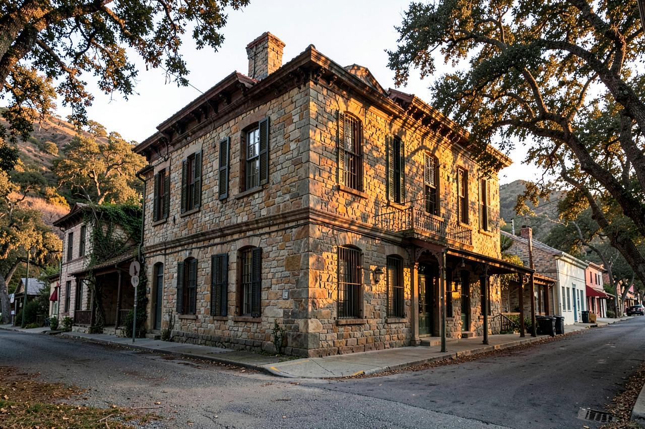
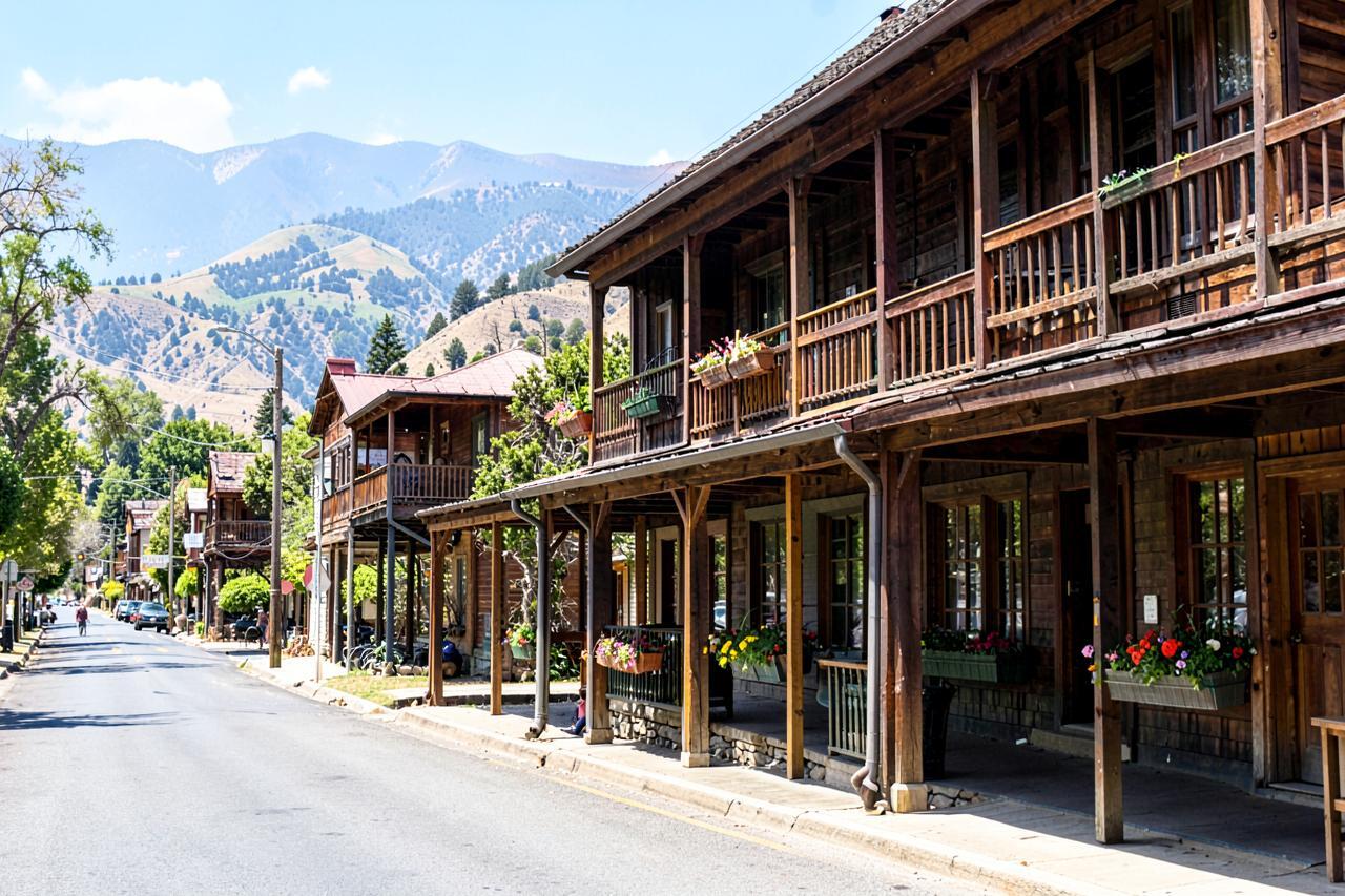
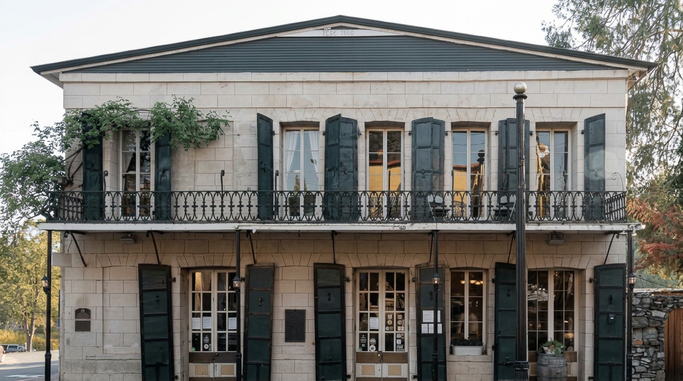
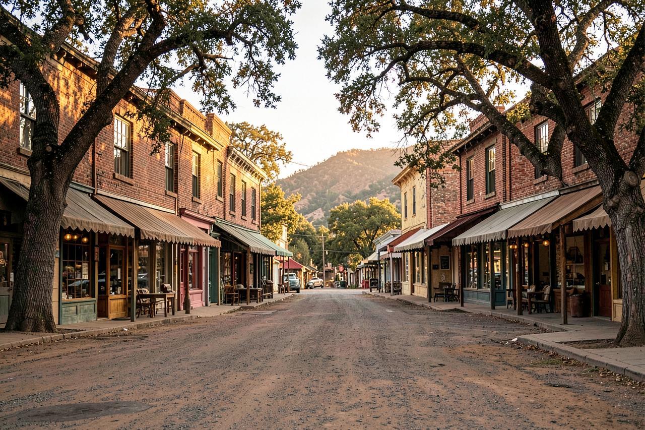
The towns that found a second economy are the ones you can actually spend a weekend in. Sutter Creek has the most intact commercial street of the period, plus the Knight Foundry, the last water-powered foundry in the United States. Jackson has the Kennedy Mine, which went down nearly 6,000 feet, and its two surviving 58-foot tailing wheels. Angels Camp went from placer creek to deep hard-rock shafts and now runs the frog jump Mark Twain wrote about. Murphys traded mining for wine and has two dozen tasting rooms on one street. Sonora is the working county seat with the best bookshop and restaurants in the region.
If you want the Gold Rush with dinner and a bed, pick from this group. If you want silence and ruins, pick from the one above.
Everything here is open, occupied and trading — the history is the setting, not the attraction.
Where: Highway 49 and Highway 4, Amador, Calaveras and Tuolumne counties · Drive: 1 h to 2 h 20 m from Sacramento · Cost: free to walk
Where children can actually pan for gold
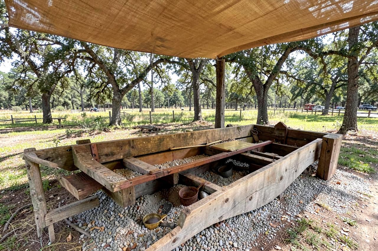
Three places on this list run panning that works for a seven-year-old. Marshall Gold Discovery State Historic Park at Coloma does it as interpretation, in the river where it happened. Matelot Gulch in Columbia does it in troughs on the main street with salted paydirt, which is honest fun and guarantees a result. Commercial outfitters in Jamestown run half-day trips to real creeks, which is the option to choose if the child in question wants the actual thing.
Prospecting on your own is legal in many places and illegal in others, and the difference matters: no panning inside state parks outside the sanctioned areas, no digging in a stream bank, and always check whether a claim is filed. Recreational panning with a hand pan on unclaimed national forest land is generally allowed.
Jamestown also has Railtown 1897, where the roundhouse is a working museum and the steam trains run on weekends — which for most children under ten will comfortably outrank the gold.
Coloma for the history, Columbia for the guaranteed flake, Jamestown for the real creek and the steam train.
Where: Coloma, Columbia and Jamestown · Drive: 1 h to 2 h 20 m from Sacramento · Cost: $10 to $100 depending on which of the three
Basing a Gold Country trip
The road is 300 miles long, so nobody sees it all from one base. The middle section — Jackson down to Sonora — is the densest and the best served, and Arnold sits twenty minutes above it on Highway 4. From the cabins, Murphys is fifteen minutes, Angels Camp half an hour, Columbia and Sonora just under an hour, Jackson an hour, and Volcano an hour.
Our own suggested three days: Murphys and Angels Camp on day one, Columbia and Jamestown on day two, Jackson, Sutter Creek and Volcano on day three. That covers a living town, a preserved town and a near-ghost town, which is the contrast the whole road is really about.
Cite this page
Free to quote, chart or screenshot — a credit and a link is all we ask
This page is kept up to date on purpose so it can be cited. Copy the line below, or link to the stable URL.
Arnold Haven, "The Gold Rush Towns of Highway 49, Compared", updated 13 September 2026. https://arnoldhaven.com/guides/california-gold-rush-towns
- Stable URL
- https://arnoldhaven.com/guides/california-gold-rush-towns
- Last updated
- 13 September 2026
- Publisher
- Arnold Haven, Arnold, California
Good to know
Frequently asked questions
What caused the California Gold Rush?+
James Marshall found gold in the tailrace of Sutter's sawmill at Coloma on 24 January 1848. Confirmation by President Polk that December turned a rumour into a migration, and roughly 300,000 people arrived over the following seven years.
Which California Gold Rush town is the best preserved?+
Columbia, in Tuolumne County. Twelve blocks of the original brick town survive because it was rebuilt in brick after two fires and then bought by the state in 1945. Sutter Creek has the most intact commercial street outside a park, and Volcano has the most surviving stone ruins.
Are there real ghost towns in California's Gold Country?+
Chinese Camp, Fiddletown and Mokelumne Hill come closest — each held thousands of people in the 1850s and holds a few hundred or fewer now, with original buildings and ruins still standing. All three still have residents, so treat them as inhabited places rather than abandoned sites.
Where can kids pan for gold in California?+
Marshall Gold Discovery State Historic Park at Coloma runs panning in the river where gold was first found; Matelot Gulch in Columbia runs it in troughs on the main street; and outfitters in Jamestown take families to real creeks for half a day. All three suit primary-school children.
How much gold was found in the California Gold Rush?+
Around 750,000 pounds — roughly 12 million troy ounces — was recovered in the peak years, worth some $2 billion at 1850s prices. Estimates vary because a great deal was never recorded.
How long does it take to drive Highway 49?+
The full length from Vinton in the north to Oakhurst in the south is about 300 miles and takes eight to nine hours of driving without stops. Most people drive one section: Jackson to Sonora, the densest stretch, is about 90 minutes end to end.