
Explore Arnold
Strawberry, CA
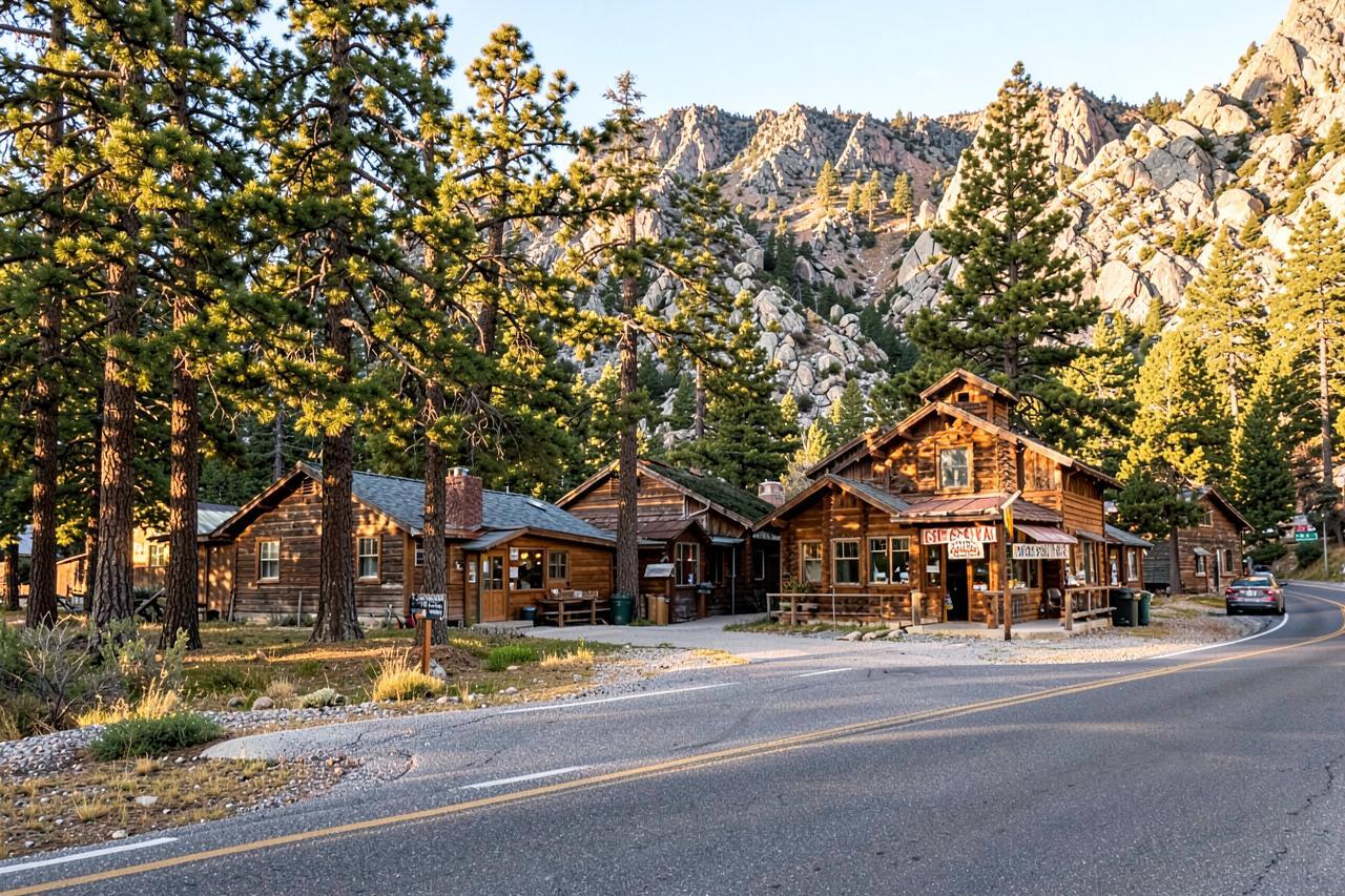
The small river hamlet just below Pinecrest on Highway 108 — a general store, a lodge, a stretch of the South Fork Stanislaus you can wade into, and the last services before the high country. About an hour and a half from the cabins.
First things first
First things first
Strawberry is not a town so much as a bend in the river with buildings on it. It sits at about 5,200 feet where Highway 108 crosses the South Fork Stanislaus, a couple of miles below the turnoff to Pinecrest Lake, and it has been a stopping place for travellers heading over the mountains since the stage road days.
For anyone staying in Arnold, Strawberry is the practical half of a Pinecrest day: somewhere to pick up ice and sandwiches, a river to cool off in that never has the parking problems the lake does, and a bathroom stop before the last climb. It is about an hour and a half from Chalet Bruin and Koda Loft by way of Angels Camp and Sonora.
Geography
Where Strawberry, CA sits
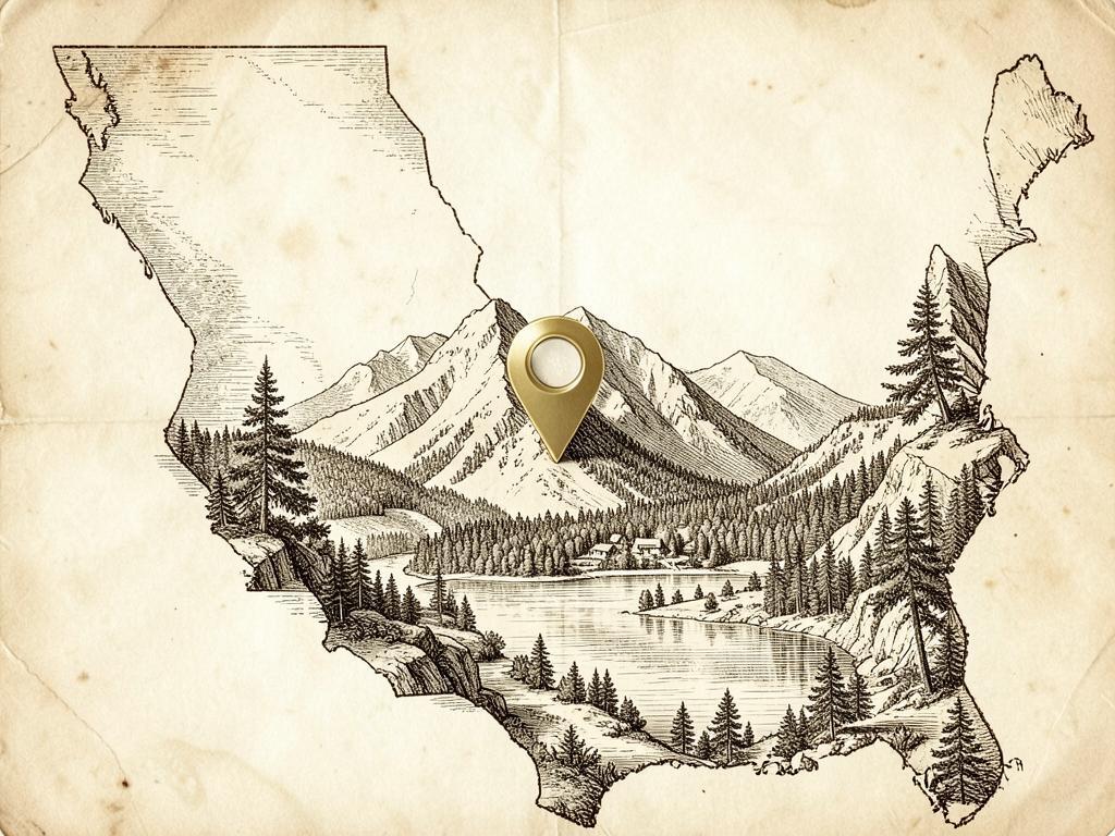
Strawberry sits where Highway 108 crosses the South Fork Stanislaus River, a stopping place on the old road over the mountains and still the last services before the high country.
It is the same mountain block Arnold looks up at from Highway 4, approached from the Tuolumne side.
It is about 55 miles from Chalet Bruin and Koda Loft by way of Angels Camp and Sonora — roughly an hour and a half.
- Region
- Central Sierra Nevada, Highway 108 corridor
- County
- Tuolumne County
- Elevation
- About 5,200 ft
- Nearest town
- Pinecrest is two miles up the road; Sonora is the nearest full-service town
- Getting there
- Highway 108 east, below the Pinecrest turnoff
The river
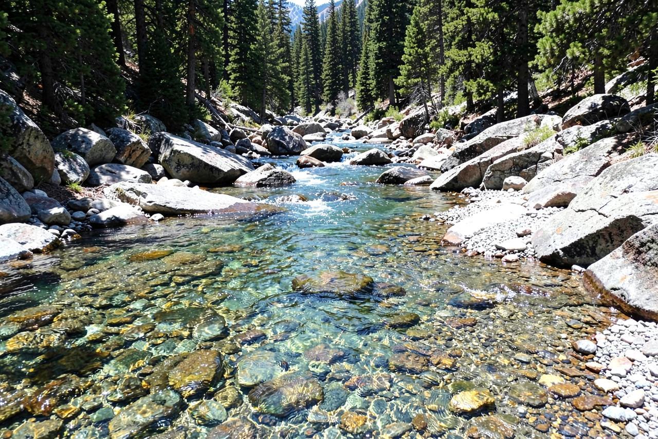
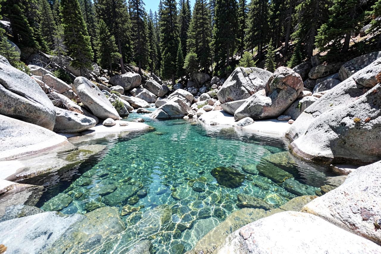
The South Fork here is shallow, clear and boulder-strewn — knee-deep pools, gravel bars, and enough shade that you can sit out an afternoon without cooking. It is the kind of water children can wade in while adults read, which is a different proposition from the deeper, colder swimming holes further down the canyon.
Runoff makes the difference. In May and June the river is pushy and cold and not a place to let small children loose. By mid-July it settles into the friendly version, and by September it is low, warm and slow. Flows depend on releases upstream, so what you find on the day may not match the last time you came.
The store, the lodge and what is actually open
There is a small general store and a lodge with a restaurant, plus a handful of cabins and a campground nearby. Between them they cover a forgotten swimsuit, a bag of ice, a beer after a hike and a hot meal — but they are seasonal, small and family-run, and hours move with the calendar and the staffing.
Treat everything here as check before you go. Call ahead or look up current hours rather than driving up on the assumption that dinner is available on a Tuesday in October. The nearest full grocery shopping is back down in Sonora, forty minutes away.
Winter, when the road matters more than the village
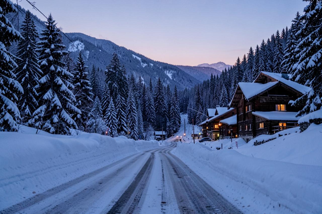
In winter Strawberry becomes a plowed corridor between snowbanks. Highway 108 is maintained past here to Dodge Ridge and Pinecrest, and this stretch is where chains are often required on storm days. The snow play areas and the ski resort are both within fifteen minutes.
Check Caltrans for current chain control on Highway 108 before you leave Arnold, and remember that a clear morning in the foothills tells you nothing about conditions at 5,000 feet. Carry chains between November and April even if the forecast looks kind.
Where to stay for a Highway 108 day
Lodging on this stretch of the corridor is limited to a few small seasonal places that book far ahead. Basing in Arnold gives you a full kitchen, a hot tub and a grocery store an hour and a half away, and it puts Calaveras Big Trees, Bear Valley and the caverns on the other side of the same stay.
Nearby
Keep exploring

Good to know
Frequently asked questions
How far is Strawberry from Arnold?+
About 55 miles — down Highway 4 to Angels Camp, south through Sonora, then up Highway 108. Roughly an hour and a half each way.
Can you swim in the river at Strawberry?+
You can wade and dip in the shallow pools once runoff drops, usually from mid-July. In late spring the water is cold and fast — not a place for small children.
Is there a shop and somewhere to eat?+
There is a small general store and a lodge with a restaurant, both seasonal and family-run. Check current hours before relying on them; the nearest full supermarket is in Sonora.
Do you need chains in winter?+
Often, yes. This stretch of Highway 108 is where chain controls are commonly set during storms. Check Caltrans for current requirements and carry chains from November through April.