OHV
OHV and Dirt Bike Trails Near Arnold, CA
Seven legal riding areas within two hours of the cabins — from the Interface trails above White Pines to the granite slabs of Niagara Rim — with sticker rules, seasons and what each one is actually for.
OHV
First things first
July 6, 2024
Arnold sits on the edge of the Stanislaus National Forest, which is one of the better places in California to ride legally — and the operative word is legally. Every area below is a designated route system on public land. Riding off the designated routes is what closes trails, and it is enforced.
Two rules before anything else. Every off-highway vehicle needs a California OHMVR sticker: a green sticker for machines that meet emissions rules, a red sticker for the ones that do not, with red-sticker seasonal restrictions at the higher areas. And spark arrestors are required, checked, and the difference between a good day and a citation in fire season. Sound limits apply as well.
Closest: Interface OHV Area, five to fifteen minutes
The closest legal riding to Arnold, off Highway 4 near White Pines in the Calaveras Ranger District — motorcycle and ATV trails, low enough to ride most of the year rather than only in summer. The motorcycle and ATV trails here were re-cut and repaired in September 2025, so the tread is in better shape than the old descriptions suggest.
Mileage varies with what is currently open and signed, so check the district's route status before loading up. For a family with machines in the trailer, this is the one you ride in the morning and still get a lake afternoon out of.
Forty-five to seventy minutes: Black Springs and Slick Rock
- Black Springs OHV Area — motorcycle, ATV and 4x4, spring through autumn, forty-five to seventy minutes out where the Calaveras and Tuolumne districts meet. It has its own OHV campground and sees noticeably less traffic than the Highway 108 areas, which is the whole appeal.
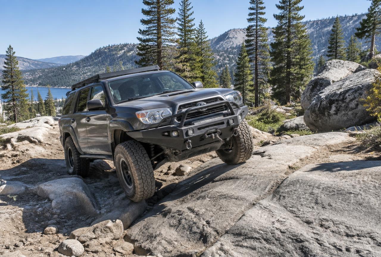
- Slick Rock Jeep Trail — 4x4 and modified vehicles only, five-plus miles, July to October, fifty to seventy minutes up Highway 4 between Lake Alpine and Utica Reservoir. Serious rock crawling at altitude; it is not a beginner route and it is not kind to a stock vehicle. Go with a second vehicle and recovery gear.
An hour and a half plus: the Highway 108 systems
The bigger networks are all on the Highway 108 side, which means a real drive from Arnold — plan them as full days, or as the reason for a trailer and an early start.
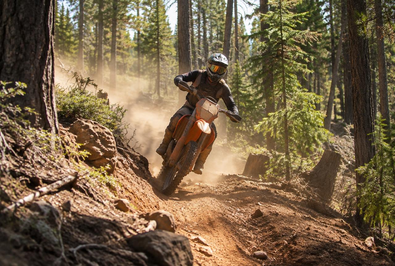
- Crandall Peak / Deer Creek — about 40 miles of trail, motorcycle singletrack and ATV, May to November, eighty to a hundred minutes. The best singletrack dirt bike riding in the region; stage off the Spring Gap turn-off about five miles up Highway 108 from Mi-Wuk.
- Hull Creek / Trout Creek — ATV and 4x4, 20 signed miles plus around a hundred miles of road, May 1 to December 15, an hour and a half to two hours, southeast of Long Barn. Mostly fire road and double-track with very little singletrack. Hull Creek Campground has 23 units with restrooms and water and direct trail access, around $12 a night.
- Niagara Rim / Niagara Creek OHV — 4x4 primarily, plus motorcycle and ATV; a 5-mile area network and the 6.4-mile rim trail; roughly May to September, with red-sticker riding allowed year-round. Northeast of Pinecrest off Eagle Meadow Road at 6,000 to 8,000 feet: rugged granite slabs and boulders, and a modified 4x4 is genuinely recommended for the rim trail. Dedicated campground, around $20 a night.
- Eagle Meadow Road — 4x4, ATV and motorcycle, June to October, the access corridor to Niagara. No Way Out Hill, Lions Butt and Hard Brake Hill are the named obstacles, and they are the reason people come.
Permits, seasons and staying welcome
Buy the OHMVR sticker before you arrive; it is not something you can sort out at a trailhead. Carry your registration, keep the spark arrestor in working order, and expect the forest to close routes at short notice in a bad fire year — check the Calaveras, Mi-Wuk or Summit district status the morning you go rather than the week before.
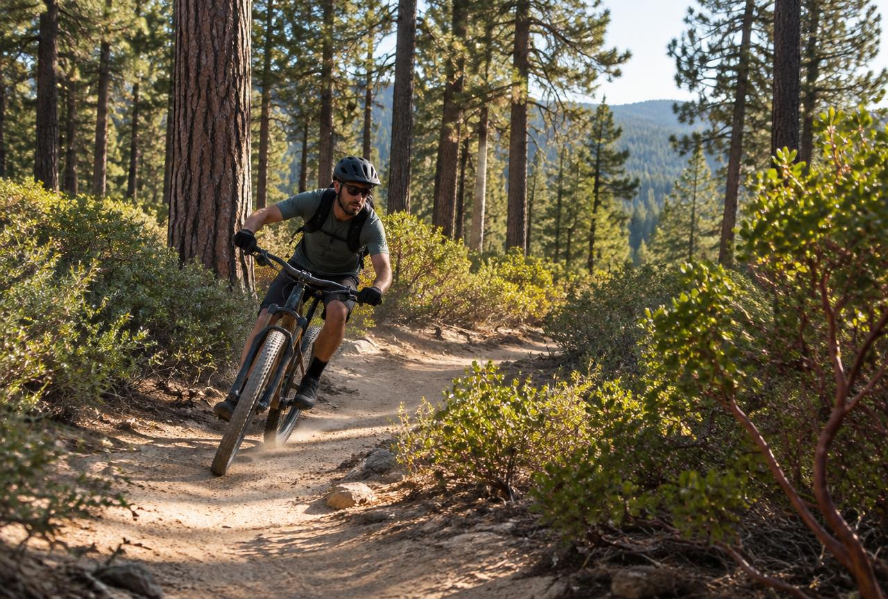
Snow closes the high systems for half the year and mud closes them for a few weeks either side of that. Ride the designated routes, pack out everything, and give way to hikers, horses and mountain bikers on the shared corridors. The reason this riding still exists is that the people who do it police themselves.
Where to stay for a riding weekend
Both cabins are in Arnold with room to park a truck and trailer, ten minutes from the Interface trails and within a morning's drive of everything else on this page. Chalet Bruin takes a group; Koda Loft suits two. Hot tub for the aches, a kitchen for a real dinner, and somewhere to hose the dust off at the end of the day.
Nearby
Keep exploring
Good to know
Frequently asked questions
Do I need a red or green sticker?+
Green if your machine meets California's emissions rules, red if it does not. Red-sticker machines face seasonal restrictions at the higher areas, though Niagara allows red-sticker riding year-round. Buy either before you travel.
Where is the closest legal riding to the cabins?+
The Interface OHV Area off Highway 4 near White Pines, five to fifteen minutes away, with motorcycle and ATV trails rideable most of the year.
Is there anywhere with singletrack for dirt bikes?+
Crandall Peak and Deer Creek on the Highway 108 side, about ninety minutes away — roughly forty miles of it, and the best in the region. Hull Creek, despite its size, is mostly fire road.
Can I park a trailer at the cabins?+
Yes — both have room for a truck and a trailer. Tell us what you are bringing when you book so we can point you at the right spot.