
Explore Arnold
Pinecrest Lake
A warm, swimmable Sierra lake with a sandy beach, a four-mile loop trail around the shore and a marina that rents kayaks and paddleboards — about an hour and a half from the cabins on the Highway 108 side of the mountains.
First things first
First things first
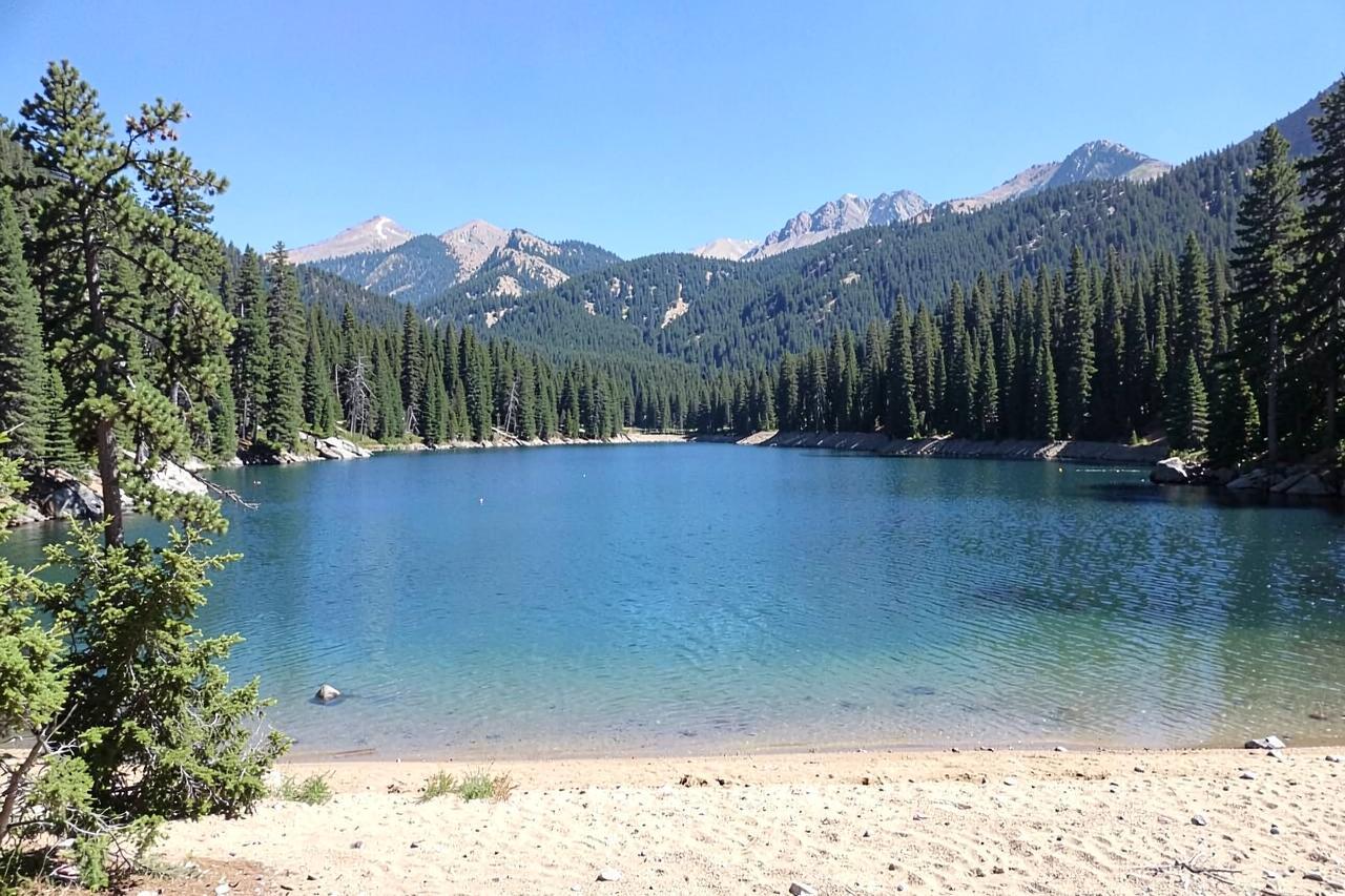
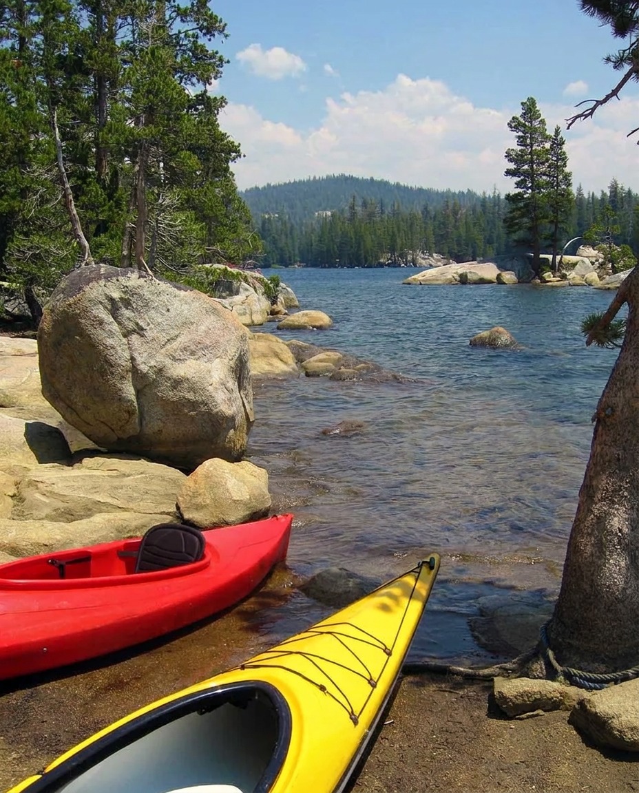
Pinecrest is the lake people picture when they imagine a Sierra summer: a broad sandy beach at one end, granite slabs and pines all the way around, and water that actually warms up by July. It sits at about 5,600 feet in the Stanislaus National Forest, above the town of Strawberry on Highway 108, and it is run as a recreation area rather than a resort — day-use parking, a beach, a marina, a store, and a lot of families who have been coming for generations.
From Arnold it is a genuine crossing rather than a quick hop. You drop down Highway 4 to Angels Camp, run south on Highway 49 through Sonora, then climb Highway 108 for forty minutes. Plan on about an hour and a half each way and treat it as the whole day, not a morning errand.
Geography
Where Pinecrest Lake sits
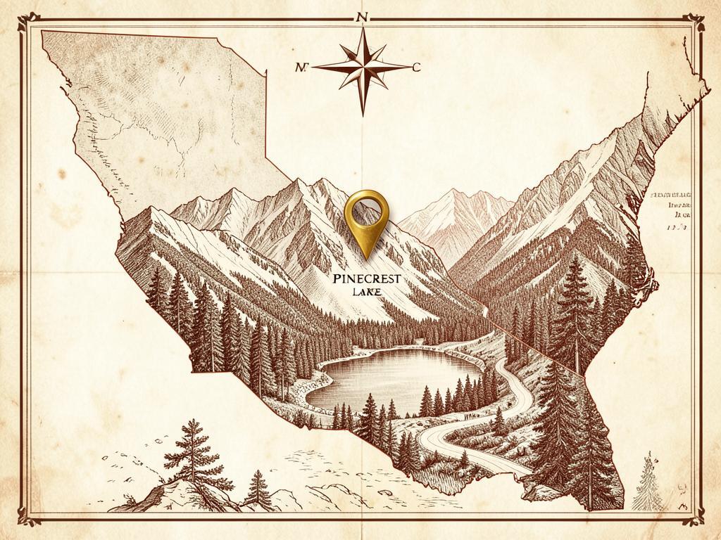
Pinecrest sits in a granite basin in the Stanislaus National Forest, on the Highway 108 side of the same mountain block that Arnold looks up at from Highway 4.
The lake is a dammed reservoir fed by the South Fork Stanislaus River, shallow enough at the west end to warm up in summer and rimmed by glaciated slabs and pine forest the rest of the way around.
It is about 55 miles from Chalet Bruin and Koda Loft by way of Angels Camp and Sonora — roughly an hour and a half.
- Region
- Central Sierra Nevada, Highway 108 corridor
- County
- Tuolumne County
- Elevation
- About 5,600 ft
- Nearest town
- Strawberry, just below the lake; Sonora is the nearest full-service town
- Getting there
- Highway 108 east, then the Pinecrest Lake Road turnoff
The lake loop
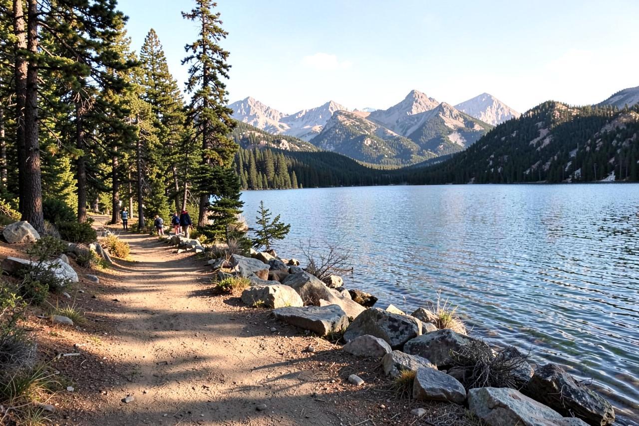
The trail around the lake is roughly four miles and the best walk in the area for mixed groups. The first half is easy and shaded, following the north shore past coves where the water goes green over granite. The back half crosses the inlet at the far end — a rock-hop or a wade depending on the year's runoff — and then works along the south shore over slabs where kids inevitably stop to jump in.
Most people take two to three hours with swim stops. There is no shade on the exposed sections, so go early or late in July and August, and take more water than feels necessary. The inlet crossing is easiest from late July onward; in a big snow year it can be genuinely pushy into June.
Swimming, boats and the beach
The main beach is at the west end by the day-use lot: shallow, sandy, roped off from boat traffic and shallow enough for small children. The marina rents kayaks, paddleboards, patio boats and small fishing boats by the hour, and the lake has a wake-free speed limit, so the water stays calm enough to paddle across without fighting chop.
The lake is stocked with rainbow trout and holds browns as well; the deeper water at the east end fishes better than the beach. A California fishing licence is required for anyone sixteen or older. Rental availability and day-use fees change season to season, so check with the Stanislaus National Forest and the marina before you drive up.
Parking, weekends and the season
The honest problem with Pinecrest is parking. The day-use lots fill by mid-morning on summer weekends and holidays, and once they are full you are turned away or parked a long walk out. Arriving before nine, or coming on a weekday, changes the day completely.
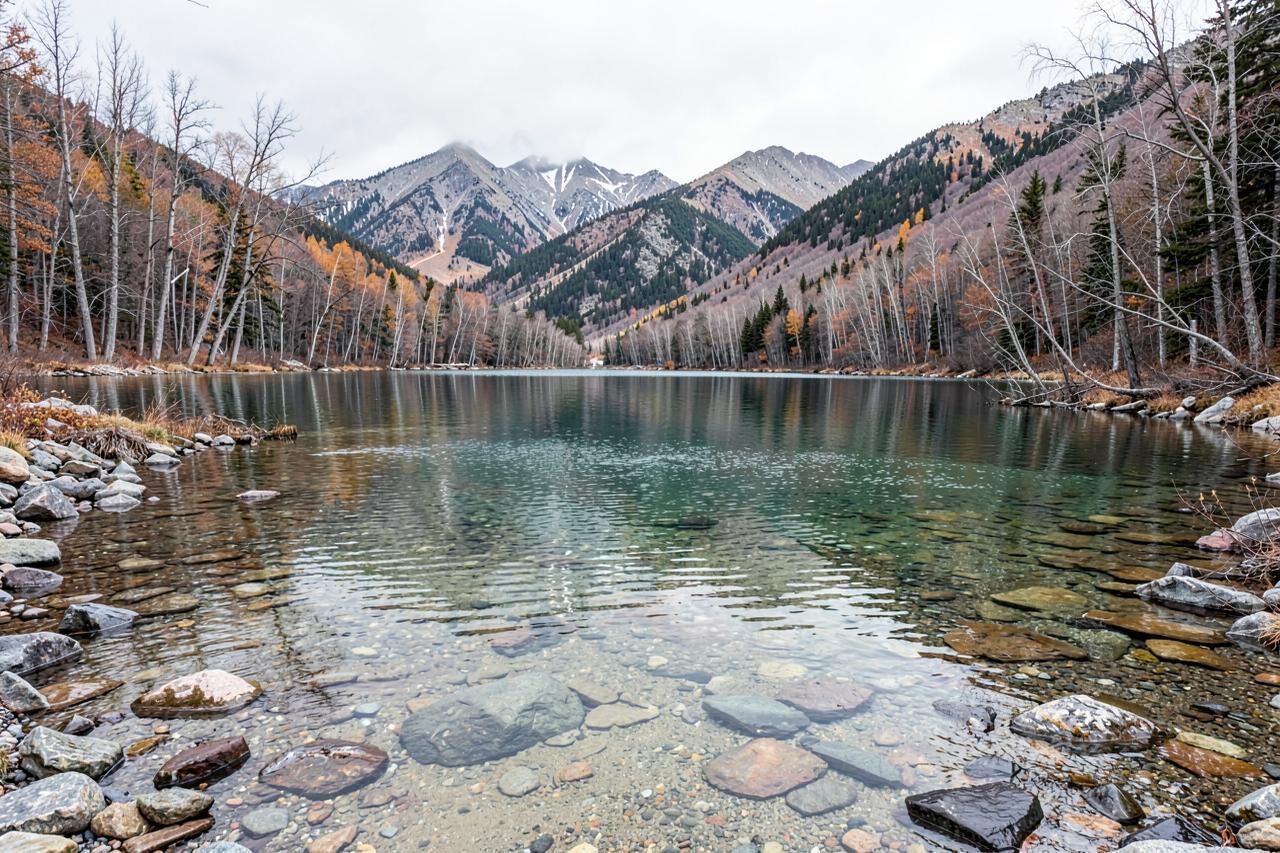
Late September and early October may be the best time of all — the water is still swimmable, the crowds have gone home, and the aspens along the inlet turn. By November the lake is drawn down and quiet, Highway 108 is a winter road, and the area becomes a snow-play and cross-country destination instead.
Where to stay for a Pinecrest day
There is very little lodging at the lake itself, and what exists books out a season ahead. Basing in Arnold puts you an hour and a half away with a full kitchen, a grocery store, restaurants and a hot tub for after the drive — and it puts Calaveras Big Trees, Bear Valley and the caverns on the other side of the same stay.
Nearby
Keep exploring

Good to know
Frequently asked questions
How far is Pinecrest Lake from Arnold?+
About 55 miles by road — down Highway 4 to Angels Camp, south on Highway 49 through Sonora, then up Highway 108. Allow roughly an hour and a half each way.
Can you swim in Pinecrest Lake?+
Yes. It is one of the warmer swimmable lakes in the central Sierra, with a sandy roped-off beach at the west end. July through mid-September is the comfortable window.
Do you need a reservation or a permit?+
Day use is first-come, and the lots fill early on summer weekends. Fees and any seasonal rules are set by the Stanislaus National Forest, so check their current information before you go.
How long is the trail around the lake?+
Roughly four miles, with an inlet crossing at the far end that is easiest from late July. Most groups take two to three hours with swim stops.