
Explore Arnold
Yosemite conditions
Highway 120 roads, park entry, snow and seasonal closures for a Yosemite day from Arnold — with live Caltrans advisories and the mountain forecast for Crane Flat, refreshed through the day.
First things first
First things first
Yosemite from Arnold is a long day, not a short hop. It is roughly three hours to the Big Oak Flat entrance on Highway 120 by way of Angels Camp, Sonora and Groveland, and another 45 minutes down into the Valley from there. Done deliberately — out early, back after dinner — it is one of the great days in California. Treated as a casual afternoon, it is four hours of driving and a car park.
What decides whether the day works is almost never the weather in Arnold. It is which park roads are open, whether reservations are required that week, and how far down the snow level has come on Highway 120. This page covers those three things, with the live road and forecast band above reading Caltrans and the National Weather Service directly.
Geography
Where Yosemite conditions sits
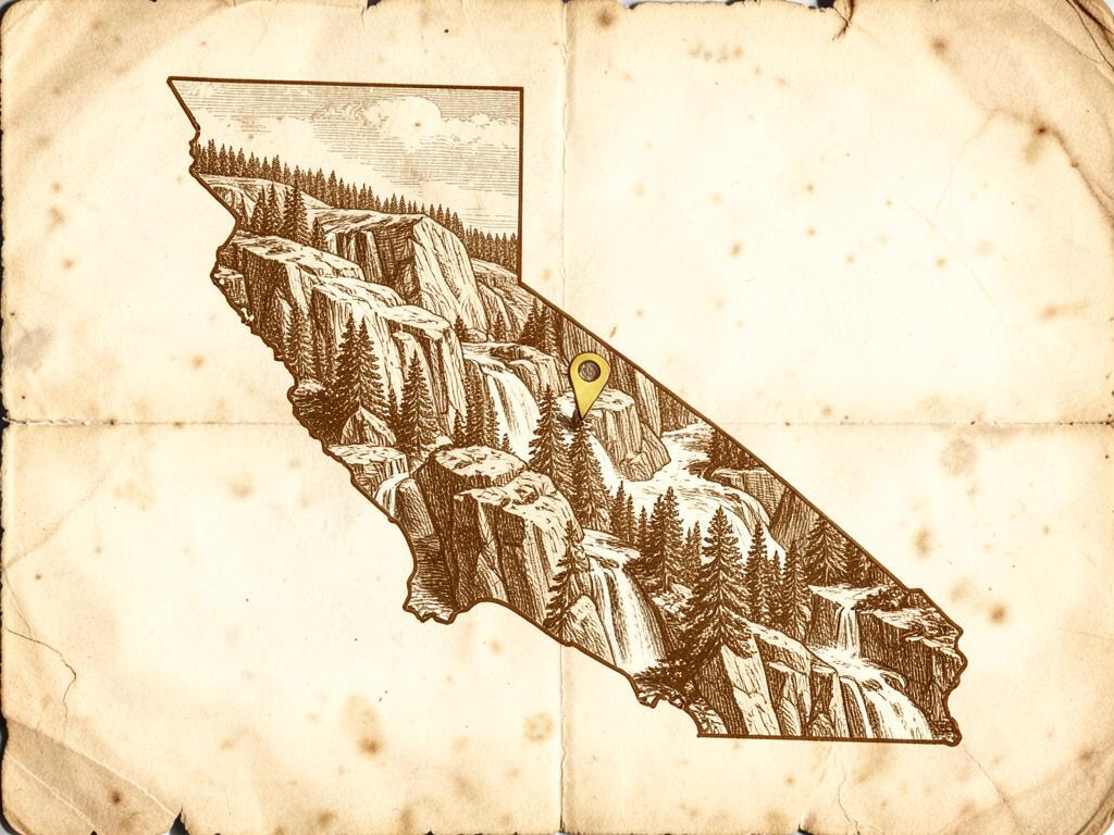
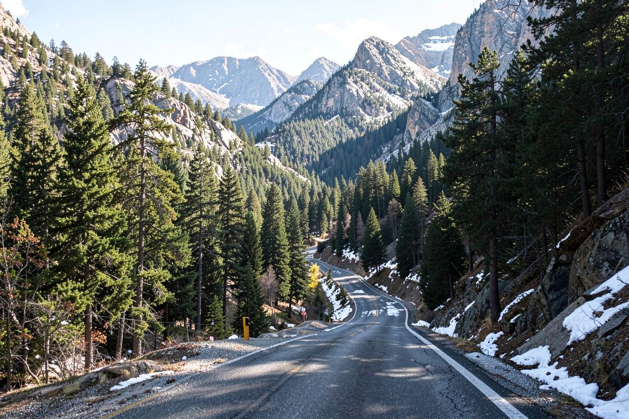
Highway 120 west of the park is plowed all year, with chain control common from October through April; Tioga Road and Glacier Point Road are seasonal.
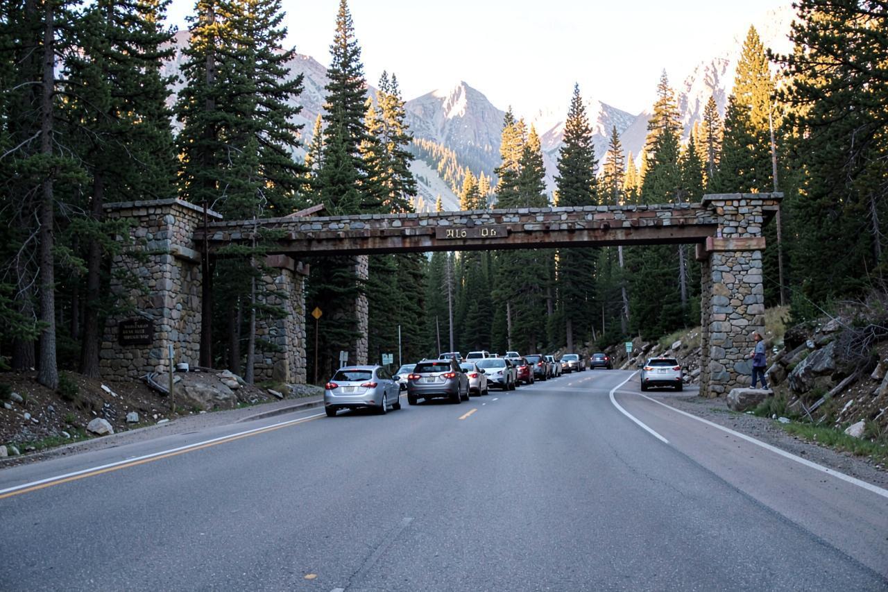
Entrance fees always apply, and timed-entry reservations have been used during peak periods in recent years.
It is about three hours from Chalet Bruin and Koda Loft to the Big Oak Flat entrance, plus roughly 45 minutes down into the Valley.
- Region
- Western Sierra Nevada, Highway 120 and Yosemite National Park
- County
- Tuolumne and Mariposa Counties
- Elevation
- About 4,900 ft at the Big Oak Flat entrance, 6,200 ft at Crane Flat
- Nearest town
- Groveland, the last town before the park
- Getting there
- Highway 120 east through Sonora and Groveland; Tioga and Glacier Point roads close each winter
Road conditions
Highway 120 — Groveland to Yosemite right now
Chain control, closures and roadwork as Caltrans last reported them, with the mountain forecast for Crane Flat, Yosemite from the National Weather Service.
- Reference point
- Crane Flat, Yosemite — 6,200 ft
- Sources
- Caltrans & National Weather Service
Chain control
None reported
Closures
None reported
Mountain temp
71°F
Sky
Clear
Snow next 24h
0"
Snow next 72h
0"
Snow level
10,600 ft
SR 120[IN THE CENTRAL CALIFORNIA AREA & SIERRA NEVADA] [YOSEMITE NAT'L PARK] For Yosenite Nat'l Park road information call 209-372-0200
SR 1401-way controlled traffic at Savage Trading Post (Mariposa Co) from 0700 hrs to 1700 hrs Wednesday thru Friday thru 9/11/26 - Due to construction
Read Sep 12, 4:37 PM Pacific time, from a Caltrans report dated Saturday, September 12th, 2026 at 04:37 PM. Conditions change faster than any page can; treat this as a starting point and confirm with Caltrans before you drive.
The roads, and which of them close
Highway 120 west of the park — the Groveland approach — is open all year and plowed, though chain controls are common between October and April. Inside the park, the Valley roads and the Wawona road stay open year-round in normal conditions.
Tioga Road, the continuation of Highway 120 across the park to the eastern Sierra, is a seasonal road: it typically closes in November and reopens somewhere between late May and early July. Glacier Point Road closes for the winter too, and Mariposa Grove's access road can close in storms. None of those dates are promises — the park announces each opening when crews finish plowing.
Getting in: fees, reservations and timing
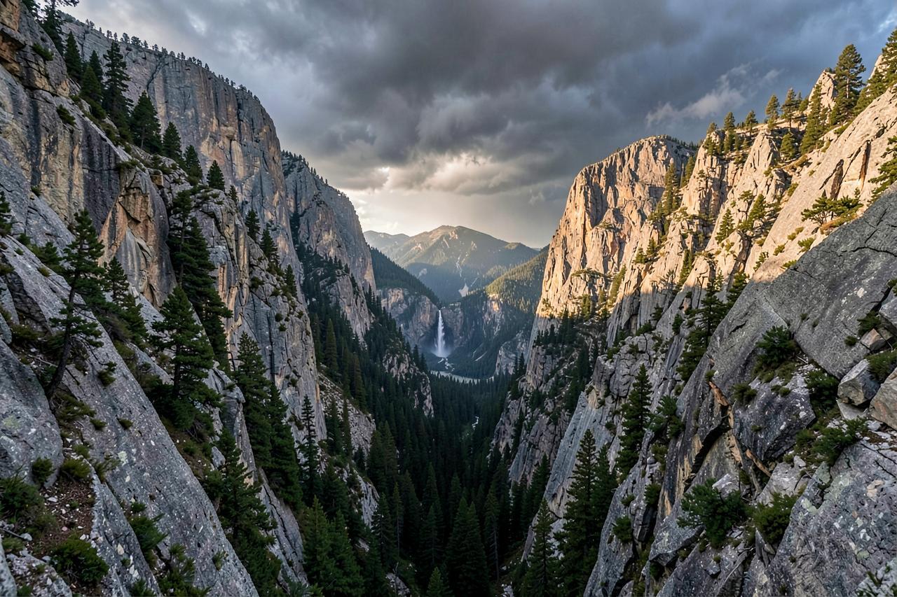
There is an entrance fee per vehicle, valid for several days, and in recent years the park has used a timed-entry reservation system during the busiest periods — peak summer days, holiday weekends and firefall season in February. Whether it applies to the week you are visiting, and what hours it covers, changes year to year.
Check the National Park Service's current conditions page for Yosemite before you drive, and if reservations are in force, book before you leave Arnold rather than hoping at the gate. Arriving before 8am has always been the best trick available: the entrance queue is short, the Valley car parks are empty, and you are walking while everyone else is still driving.
Snow, storms and the drive back
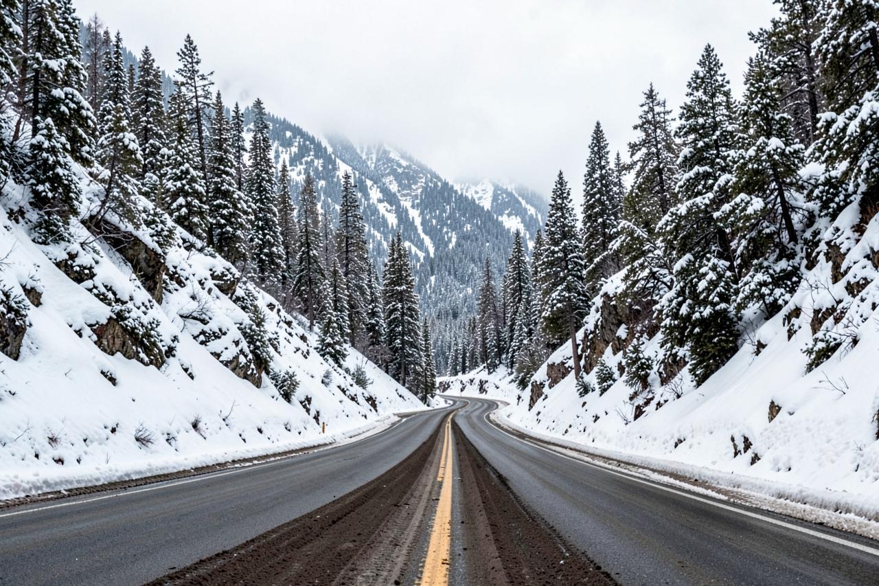
In winter the snow level is the number that matters. When it sits near 5,000 feet the Groveland approach is wet and the park roads above the Valley floor are white; when it drops to 3,000 feet the whole corridor is winter driving and chain control on Highway 120 is likely. Carry chains from October through April and be honest about whether you want to drive that road home in the dark.
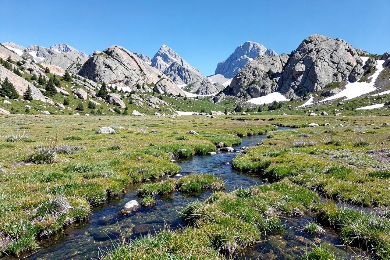
In spring, snowmelt makes the waterfalls spectacular and the high country inaccessible at the same time. Summer means heat on the Valley floor, full car parks by nine, and the high country at Tuolumne Meadows finally open. Autumn is the quiet reward — thin crowds, cool air, and the roads still open until the first storm.
Where to stay for a Yosemite day
Arnold is not a Yosemite base and we will not pretend otherwise — if Yosemite is the whole point of the trip, stay nearer the gate. Where the cabins work is a trip that wants the Sierra generally: one big Yosemite day out of a week that also has Calaveras Big Trees five minutes away, the caverns, Bear Valley and a hot tub to come home to. Leaving at six from Arnold puts you at the entrance ahead of the queue.
Nearby
Keep exploring
Local knowledge
Guided experiences near Yosemite conditions
Guided outings our guests book most often while they're up the hill.


Affiliate disclosure
These experiences are operated and sold by Viator or GetYourGuide, not by Arnold Haven. Booking through these links may earn us a small commission at no extra cost to you, which helps keep the cabins and this guide going.
Good to know
Frequently asked questions
How long is the drive from Arnold to Yosemite?+
About three hours to the Big Oak Flat entrance on Highway 120, plus roughly 45 minutes down into the Valley. Leave by six to be ahead of the entrance queue.
Is Tioga Road open?+
Only in summer and early autumn. It normally closes in November and reopens between late May and early July once crews finish plowing — the National Park Service announces the date each spring.
Do I need a reservation to enter Yosemite?+
Sometimes. The park has used timed-entry reservations for peak periods in recent years, and the rules change season to season. Check the National Park Service's current conditions page for your dates before you drive.
Do I need chains on Highway 120?+
Between October and April, carry them. Chain control on the Groveland approach is common in and after storms; the live band above shows what Caltrans last reported and the current snow level for Crane Flat.