
Explore Arnold
Trail of the Gargoyles
A short forest walk along a volcanic rim above Herring Creek, past weathered rock towers and straight down a sheer drop. Big scenery for a mile of effort — and no fence between you and the edge.
First things first
First things first
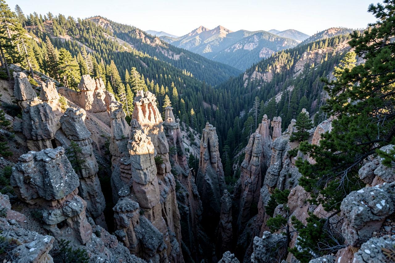
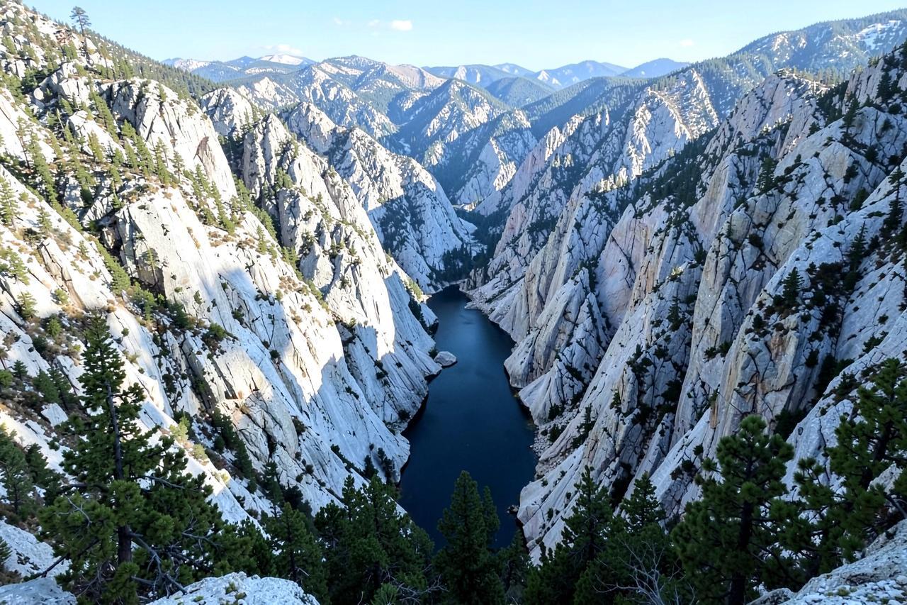
The Gargoyles are eroded volcanic pinnacles standing along the lip of a canyon on the Herring Creek plateau, up a forest road off Highway 108 above Strawberry. Two short loops, north and south, run along the rim at about 7,000 feet; together they are barely a mile and a half of walking with almost no climb.
What you get for that is out of proportion: knobbled towers of welded ash at eye level, a canyon dropping hundreds of feet immediately beyond them, and the whole northern Stanislaus country beyond. From Arnold it is about two hours by way of Sonora, and the last miles are on graded dirt.
Geography
Where Trail of the Gargoyles sits
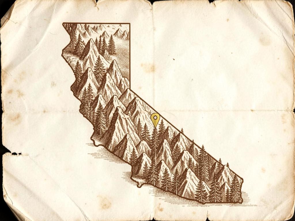
The Gargoyles are eroded pinnacles of welded volcanic ash standing along the rim of a canyon on the Herring Creek plateau, above and behind Strawberry.
Two short rim loops run past them at about 7,000 feet, on ground that stays snowbound long after the highway below is clear.
It is about 65 miles from Chalet Bruin and Koda Loft via Sonora — roughly two hours, the last few miles on dirt.
- Region
- Central Sierra Nevada, Herring Creek plateau
- County
- Tuolumne County
- Elevation
- About 7,000 ft
- Nearest town
- Strawberry, at the bottom of Herring Creek Road
- Getting there
- Highway 108 east, then graded dirt up Herring Creek Road
The walk, and the drop
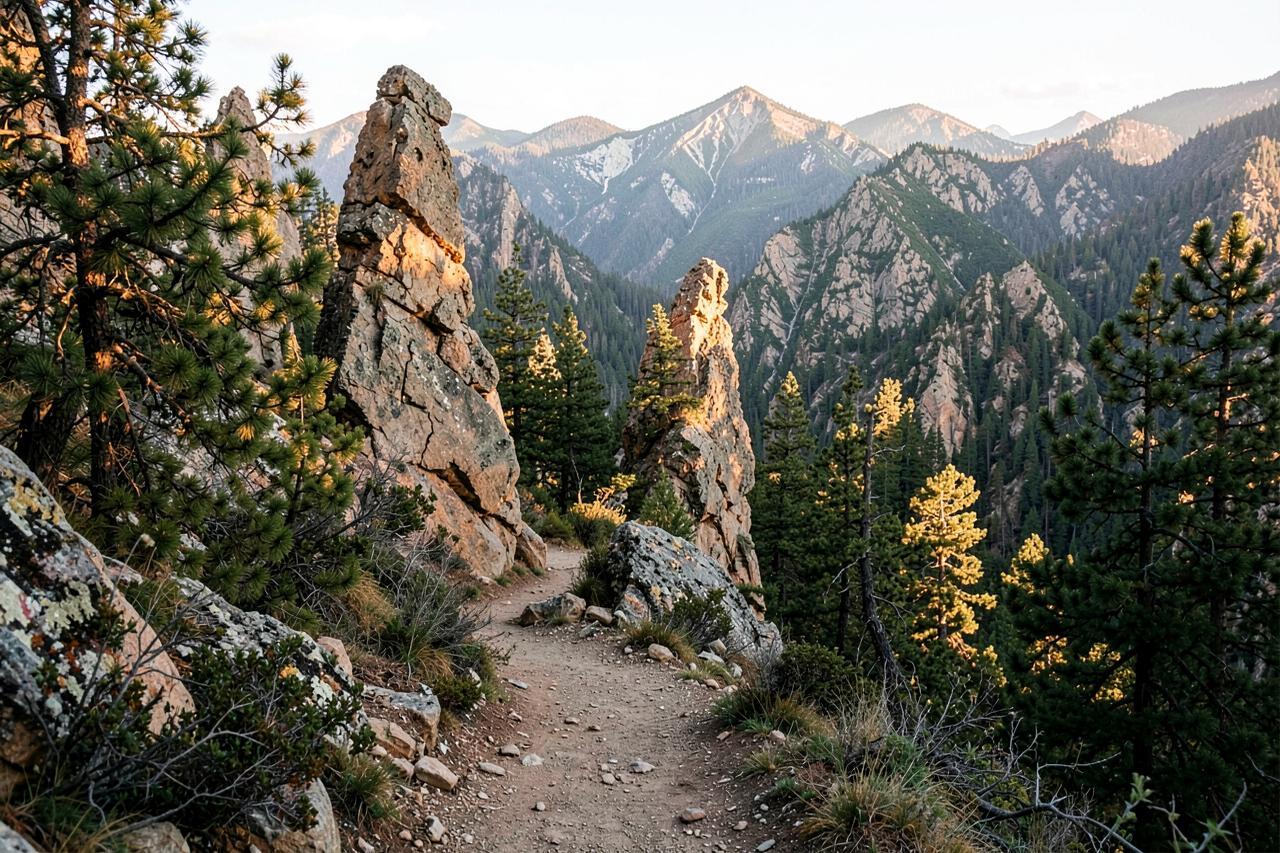
The trail runs flat along the rim through red fir and lodgepole, with viewpoints every few hundred yards where the rock formations frame the canyon. Interpretive markers explain the volcanic geology. It is the rare hike where children can walk the whole thing and still feel like they have been somewhere serious.
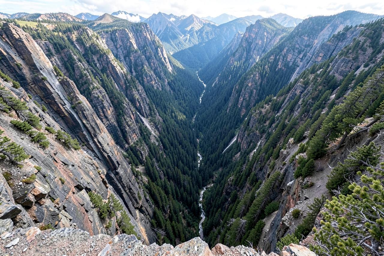
The edge is unfenced and in places undercut, and the drop is sheer. This is a hold-hands hike with young children, and not a place to let a dog off a lead. Stay back from the lip, particularly where pine needles hide the actual edge.
Getting there
The turnoff is Herring Creek Road, a graded forest road that an ordinary car handles in summer when it is dry. It is dusty, washboarded in places, and it is not a road to attempt with a low sports car or in wet weather. There is a small parking area at each loop.
The road is unplowed and closed by snow from roughly November into June — often later, since the plateau holds drifts long after the highway is clear. Check with the Summit Ranger District for current road status rather than assuming a May visit will work.
What else is up here
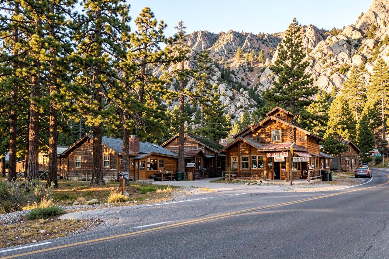
The same plateau holds Herring Creek Reservoir, meadows that fill with wildflowers in early summer, and a network of forest roads that make good mountain biking. Bring a picnic: there is nothing to buy anywhere near, and the nearest services are back down in Strawberry.
Come early or late in the day. The rock takes on colour at low sun, and afternoon thunderstorms in July and August are a genuine reason to be off an exposed rim.
Where to stay for a Gargoyles day
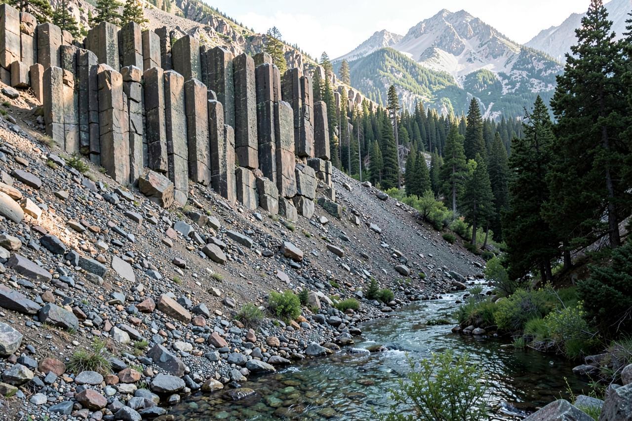
It is a two-hour drive from the cabins for an hour of walking, so pair it with Pinecrest, the Columns of the Giants or Donnells Vista and make a corridor day of it. Both cabins have the kitchen and the hot tub waiting at the end.
Nearby
Keep exploring
Good to know
Frequently asked questions
How long is the Trail of the Gargoyles?+
About a mile and a half if you walk both the north and south rim loops, on nearly flat ground. Allow an hour with stops.
Is it safe with children?+
It can be, with hands held. The rim is unfenced, undercut in places and the drop is sheer, so keep young children and dogs close and stay back from the edge.
What kind of car do you need?+
An ordinary car is fine in dry summer conditions on the graded dirt of Herring Creek Road. Avoid it when wet, and avoid low-clearance sports cars.
When is it accessible?+
Roughly late June through October. The road is unplowed and holds snow long after Highway 108 is clear — check current status with the Summit Ranger District.