
Explore Arnold
Cherry Lake
A big, quiet reservoir in the Stanislaus National Forest north of Hetch Hetchy — real granite scenery at the end of a long, rough, slow road. Honestly assessed.
First things first
First things first
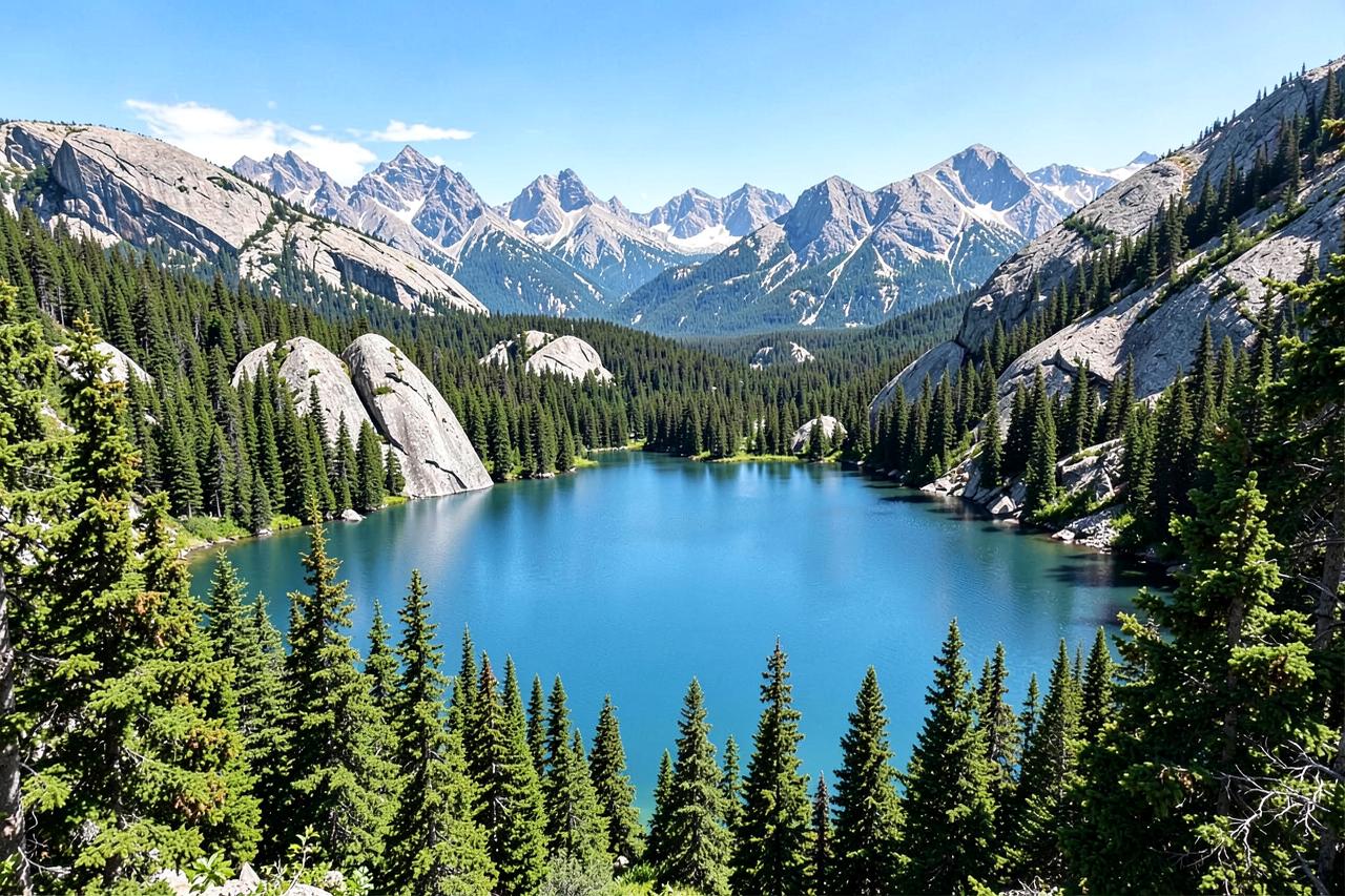
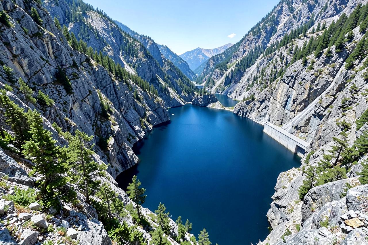
Cherry Lake is the largest reservoir in the Stanislaus National Forest, sitting at about 4,700 feet against granite domes on the edge of the Emigrant Wilderness. It has a boat ramp, a rustic campground and swimming that is genuinely warm by high-country standards.
The catch is the drive. The access road from Highway 120 near Mather is narrow, winding and rough in places, with sections that are unpleasant in a low car and slow in anything. From Arnold, budget three and a half hours each way and treat the last hour as part of the adventure rather than a commute.
Geography
Where Cherry Lake sits
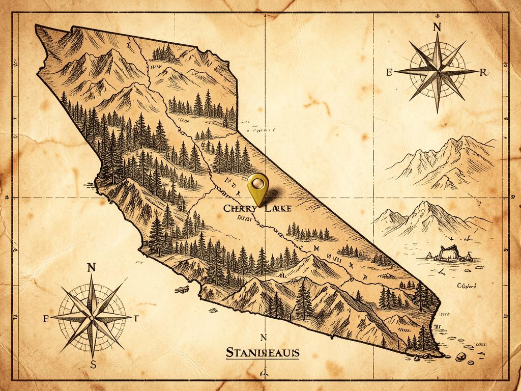
The largest reservoir in the Stanislaus National Forest, with a boat ramp, a rustic campground and granite coves.
The access road is long, winding and occasionally rough, and it closes for snow, storm damage or fire activity.
About three and a half hours each way from both cabins, including an hour on the access road itself.
- Region
- Stanislaus National Forest, on the Emigrant Wilderness edge
- County
- Tuolumne County
- Elevation
- About 4,700 ft
- Nearest town
- Mather, at the far end of Cherry Lake Road
- Getting there
- Highway 120 to Cherry Lake Road, then roughly twenty-five slow, narrow miles
On the water
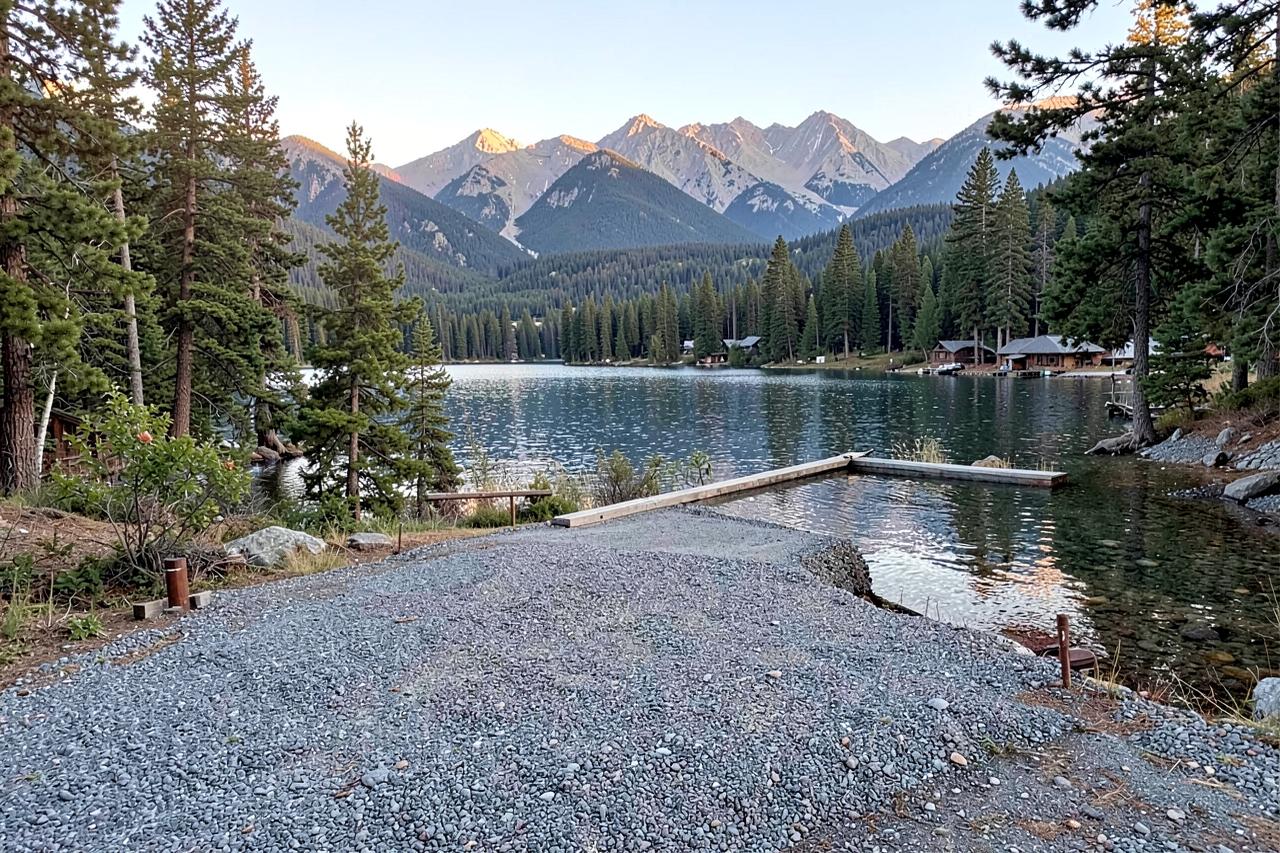
There is a paved ramp and boats are allowed, which makes Cherry unusual for a reservoir this remote — most people who tow a boat up here are fishing for trout or kokanee, or simply enjoying having a large lake to themselves. Kayaks and paddleboards are ideal, since the shoreline is all coves and granite.
Water level swings hard through the season because this is a working reservoir. Late summer can leave the ramp awkward or unusable and expose wide bands of rock. Check current lake conditions with the Stanislaus National Forest before committing to a boat day.
The road, told straight
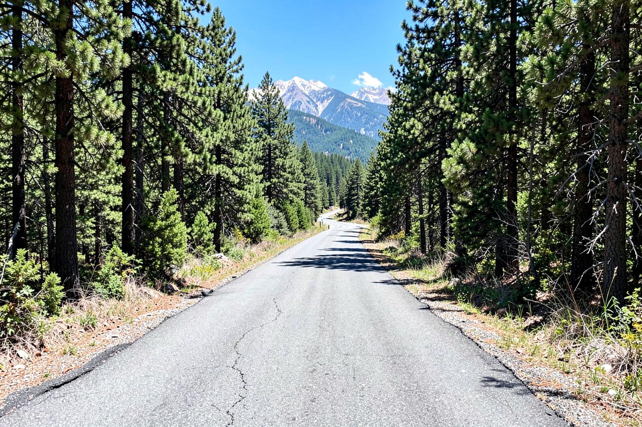
Cherry Lake Road leaves Highway 120 and climbs and drops for around twenty-five miles of tight curves, single-lane stretches, blind corners and broken pavement. It has no services, patchy phone coverage and an unhelpful habit of taking twice as long as the map suggests. Trailers are possible but slow, and it is not a road to drive tired or in the dark.
It also closes. Snow, storm damage and fire activity all shut this corridor from time to time, sometimes for a whole season. Confirm the road is open the same week you plan to travel — the Stanislaus National Forest posts road and area closures.
Camping and facilities
The campground near the dam is basic: vault toilets, no hookups, limited water. That is part of the appeal — the nights are dark and quiet in a way that developed lakes never manage. Sites and season dates vary year to year, so check availability before you rely on it.
Bring everything. Fuel, food, water, spare tyre, a paper map. The nearest supplies of any kind are back on Highway 120, and there is no shop at the lake.
Where to stay if the road is too much
Plenty of guests decide, having read the above, that Cherry Lake is one for another trip — and choose Lake Alpine or Spicer up Highway 4 instead, both far closer to the cabins on far better roads. If you do go, both cabins make a comfortable pre- and post-trip base with a hot tub, a full kitchen and no rough road at the end of the day.
Nearby
Keep exploring
Stay nearby
Cabins near the Highway 4 lakes instead
Cherry Lake is a long, rough road from Arnold; many guests choose Lake Alpine or Spicer up Highway 4 and keep the easy drive. Looking for Calaveras County lodging? Arnold Haven has two dog-friendly cabins — a five-bedroom A-frame chalet that sleeps 12 and a two-bedroom loft that sleeps 4. Minimum stay is 2 nights, check-in is at 3pm and check-out at 11am.
- Check-in
- Self check-in, 3pm
- Cancellation
- Full refund 5+ days ahead; holidays 30 days
Check live availability, see your full price, and book securely — ID check and payment are handled by Stripe.
Good to know
Frequently asked questions
How rough is the road to Cherry Lake?+
Paved but narrow, winding, single-lane in places and often broken at the edges, with around twenty-five miles of it. Passenger cars manage it slowly in good conditions; it is not a road for towing in a hurry or driving after dark.
How long does it take from Arnold?+
Around three and a half hours each way, including roughly an hour on the access road itself.
Can you camp and boat at Cherry Lake?+
Yes — there is a rustic Forest Service campground and a boat ramp. Both depend on season and water level, so check current conditions with the Stanislaus National Forest.
Is there phone signal or fuel?+
Assume neither. Fill the tank on Highway 120 and tell someone your plan before you drive in.