
Hiking
The Best Hiking Trails Near Arnold, CA
April 20, 2017
Hiking

Surrounded by pristine forests, shimmering lakes, and breathtaking mountain vistas, Arnold offers a plethora of hiking opportunities. Whether you’re an experienced hiker seeking a challenging ascent or a casual walker looking for a scenic stroll, Arnold has something for everyone. In this article, we’ll explore the best hiking trails in the area and uncover the natural wonders that await.
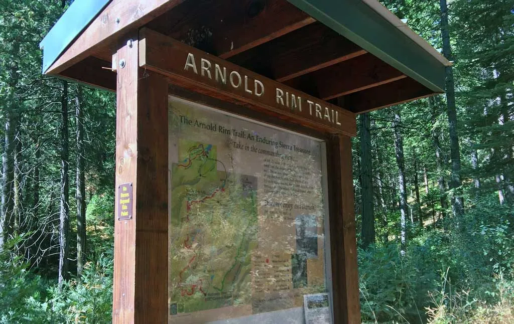
Arnold Rim Trail
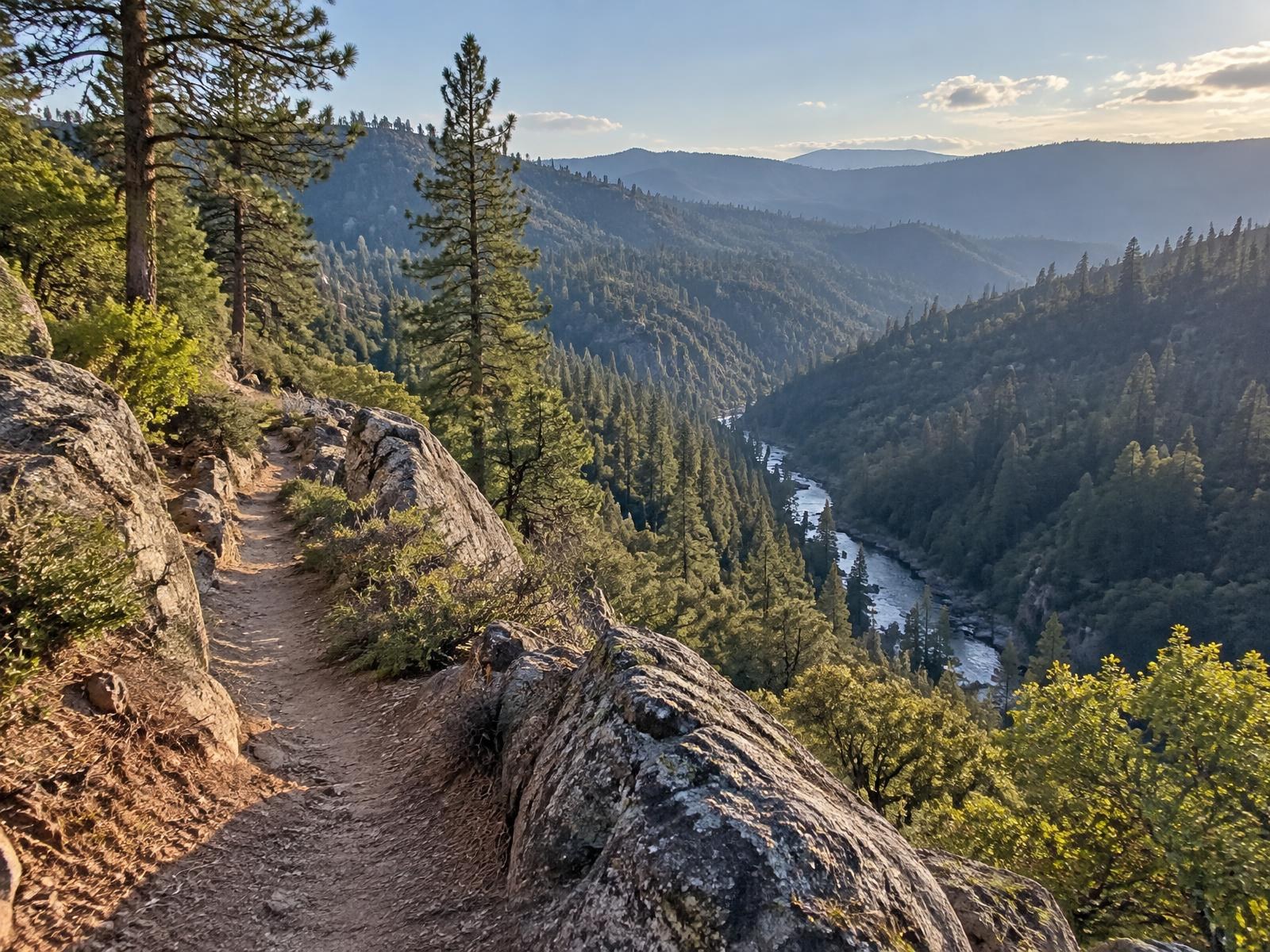
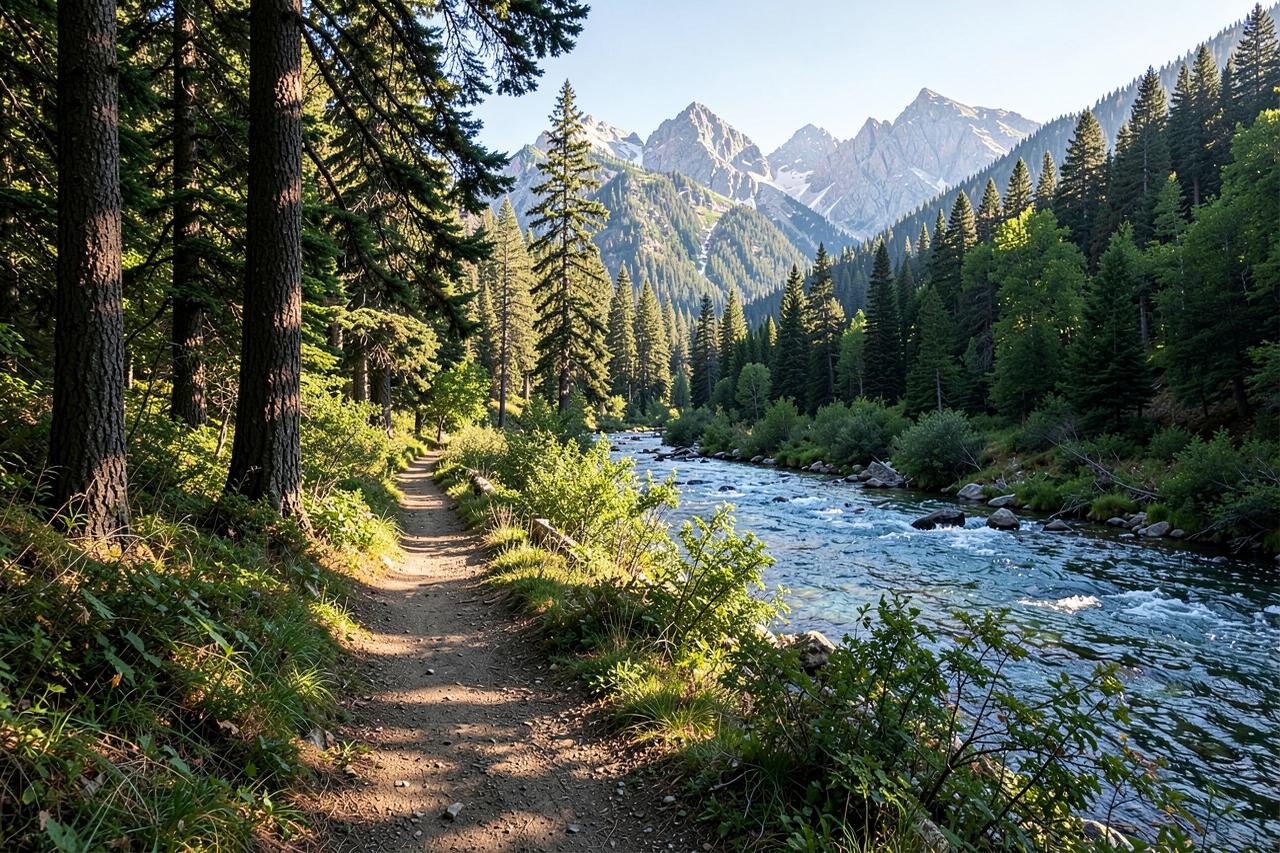
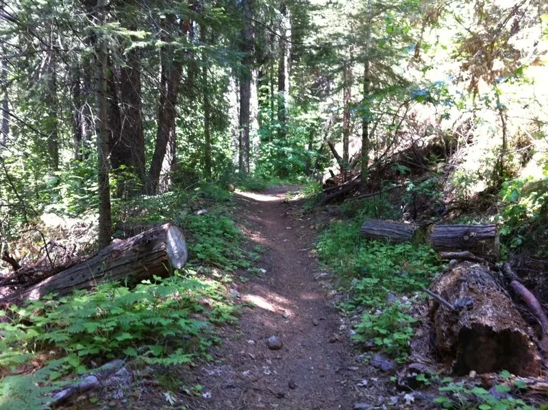
The Arnold Rim Trail is a crown jewel of hiking in the area, offering a diverse range of landscapes and stunning views. This well-maintained trail takes you on a journey through pine forests, oak woodlands, and open meadows. The trail is divided into several sections, each with its own unique charm.
Along the trail, you’ll be treated to sweeping vistas of the Sierra Nevada foothills and the surrounding Stanislaus National Forest. Keep an eye out for deer, foxes, and a variety of bird species that call this area home. You can explore old logging and mining remnants that provide a glimpse into the area’s rich history.
Walking it end to end in one push is a genuine day out — the falls, the logging museum, White Pines Lake and the Top of the World all hang off it — but there is no loop version, so it needs two cars or a friend with a spare afternoon. The trailheads at Blue Lake Springs and Sheep Ranch Road are both minutes from the cabins.
- Distance: 17.5 miles (loop)
- Difficulty: Moderate
- Season: year round below the snow line; spring and autumn for the full length
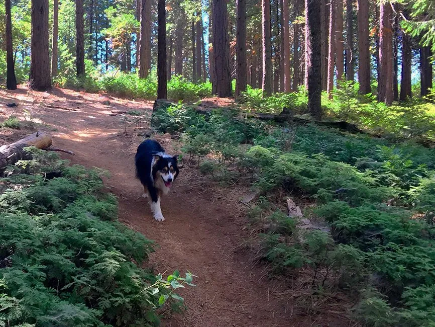
Natural Bridges Trail
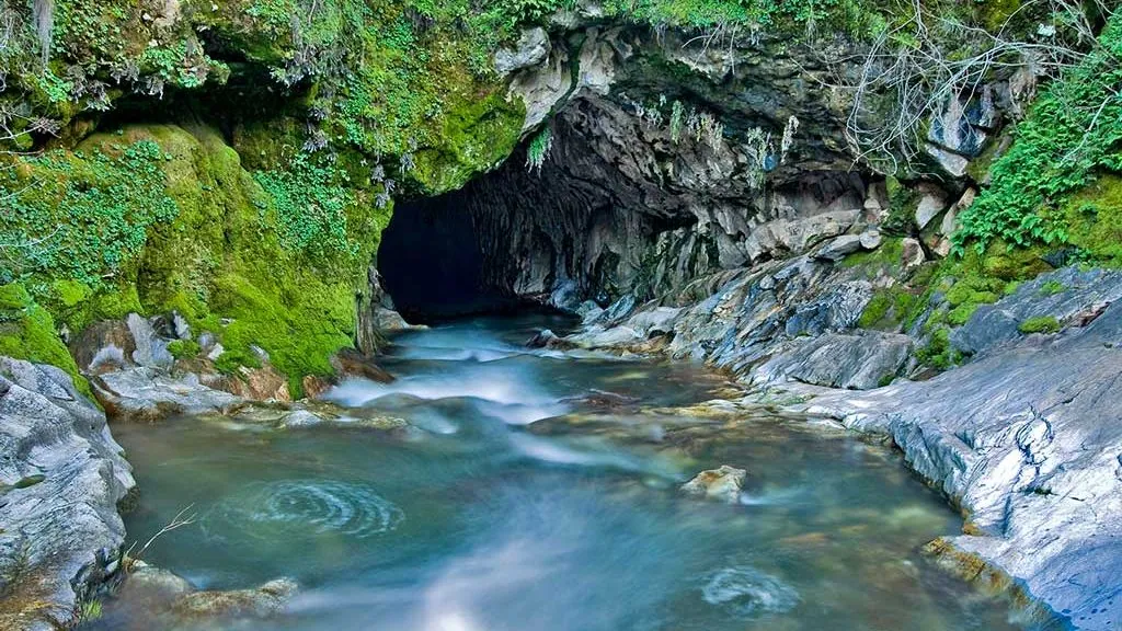
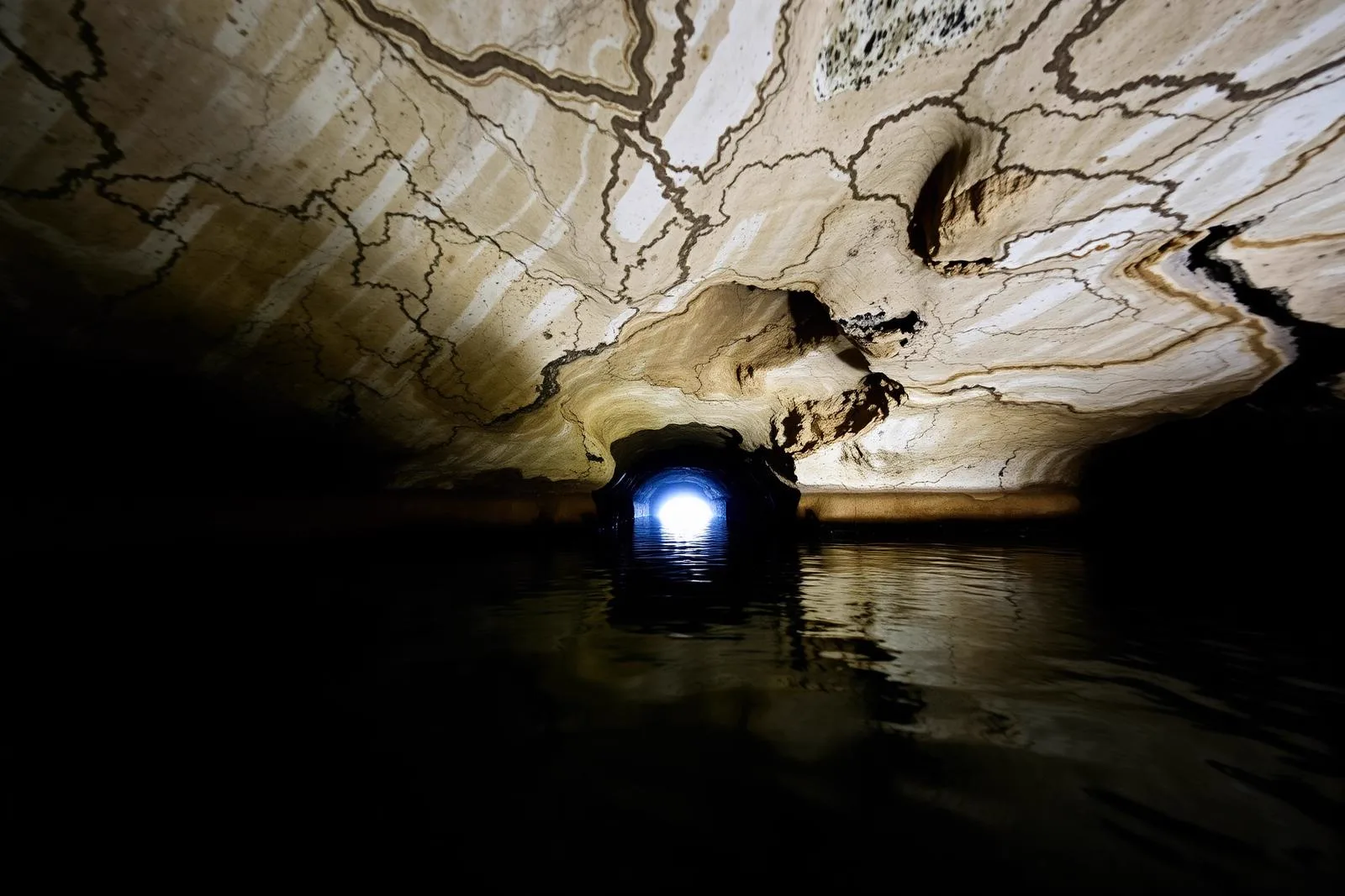
The Natural Bridges trail offers a captivating two-mile round trip adventure that guides you to mesmerizing limestone caverns sculpted by the meandering Coyote Creek, a tributary flowing into New Melones Lake. This trail is meticulously maintained by the US Bureau of Reclamation and is a top hiking trail among those exploring the New Melones area.
The most prominent attractions at the Natural Bridges Trailhead are the sandstone bridges carved by wind and water. The largest of these arches, known as the “Big Bridge,” spans approximately 100 feet across and soars high above Vallecito Creek.
- Distance: 2 miles (loop)
- Difficulty: Moderate
Calaveras Big Trees State Park
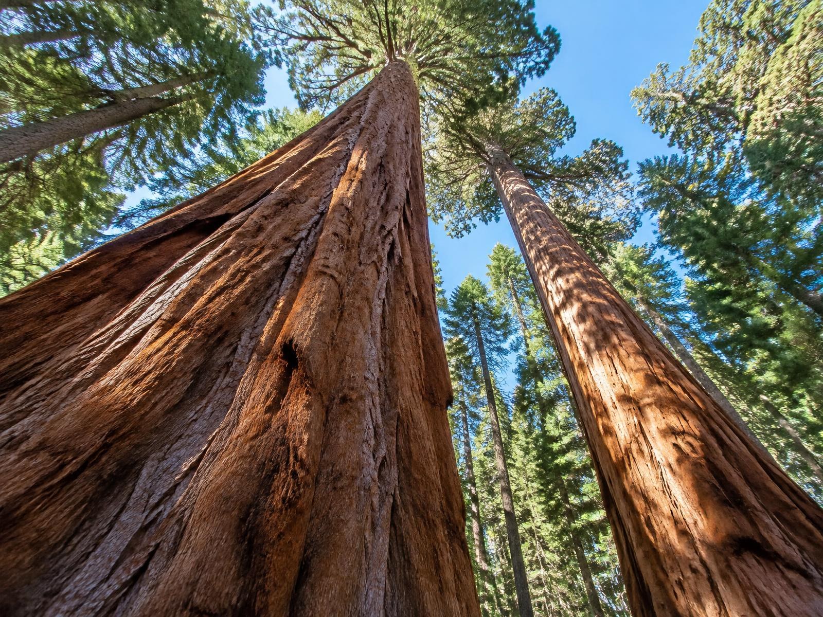
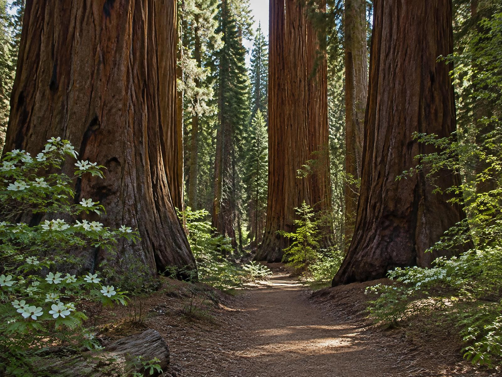
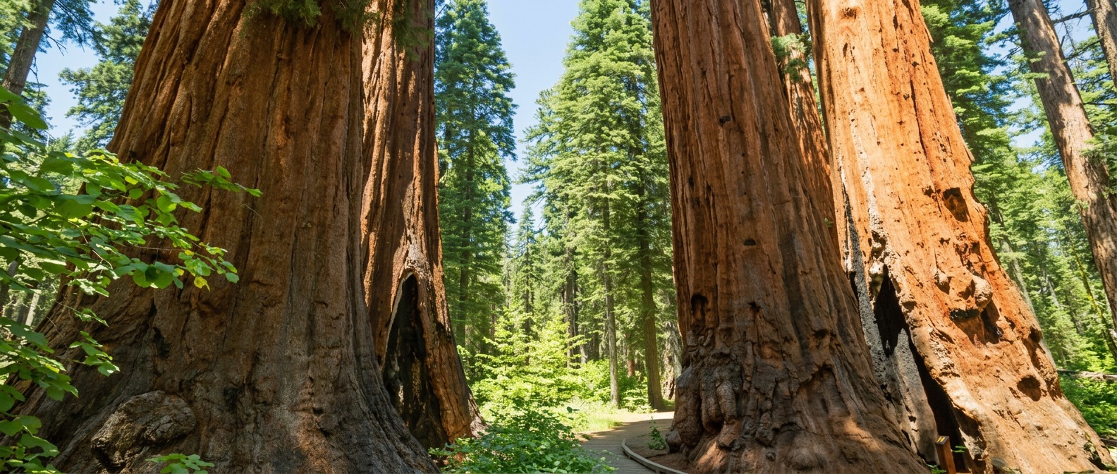
Calaveras Big Trees State Park is renowned for its colossal giant sequoias, some of the largest trees on Earth.
- North Grove Trail: This easy, 1.5-mile loop takes you through a grove of giant sequoias, including the famous “Discovery Tree,” where the first giant sequoia was documented.
- South Grove Trail: A bit more challenging at 8 miles, this trail provides an opportunity to see more giant sequoias, often in a quieter and less crowded setting.
You’ll hike through Giant Sequoias. These ancient trees, some over 250 feet tall and 3,000 years old, are a true natural wonder.
- Distance: Various trails available, from short walks to 8-mile loops
- Difficulty: Easy to Moderate
Sourgrass Recreation Area
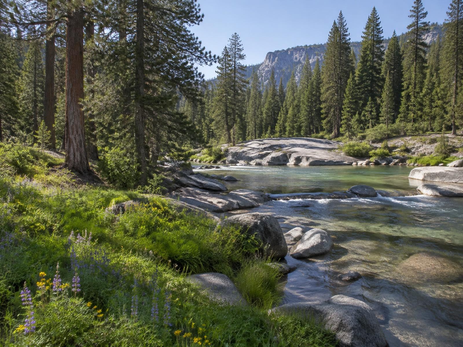
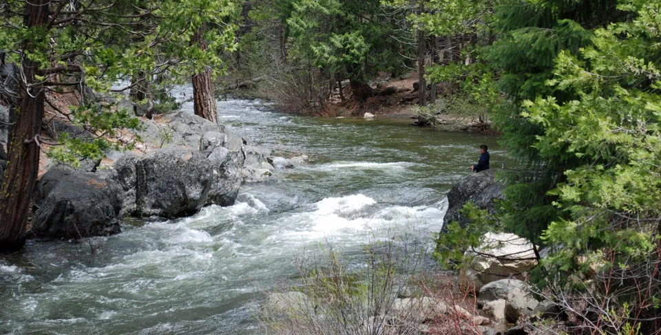
For those seeking a serene and less crowded experience, the Sourgrass Recreation Area offers a delightful escape. The network of trails here winds through picturesque forests and along the scenic Stanislaus River.
Enjoy the calming presence of the Stanislaus River, perfect for picnics and relaxation. In the spring and early summer, the meadows burst with colorful wildflowers, creating a stunning backdrop.
- Distance: 2-5 miles
- Difficulty: Easy to Moderate
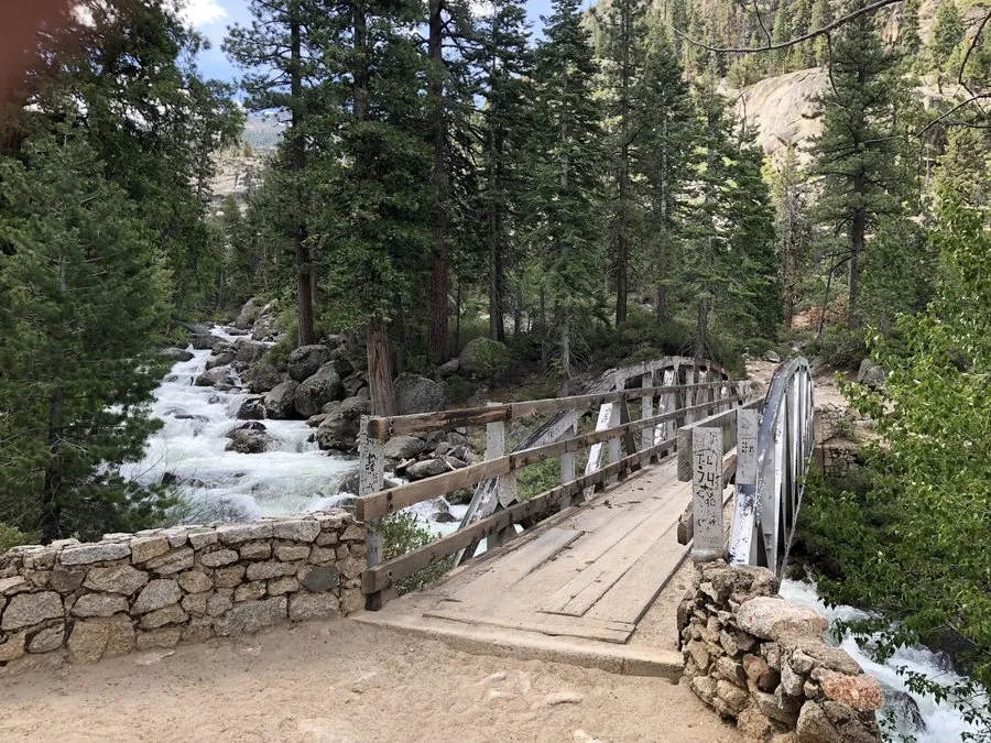
Pacific Crest Trail (PCT) Section
The Pacific Crest Trail is a legendary long-distance trail that stretches from Mexico to Canada. Arnold boasts a scenic section of the PCT that offers a challenging yet rewarding hike through the wilderness.
Escape into the rugged and remote Sierra Nevada backcountry. Encounter pristine lakes like Lake Alpine and Raymond Lake, perfect for a refreshing swim on a hot summer day. Challenge yourself with high mountain passes and enjoy breathtaking views from the ridge.
- Distance: Approximately 25 miles (one way)
- Difficulty: Challenging
Whether you’re looking to stroll among ancient giant sequoias, savor panoramic mountain views, or venture into remote wilderness, Arnold has a hiking experience tailored just for you. The trails mentioned here represent only a fraction of the natural beauty this region has to offer, making it a must-visit destination for anyone seeking an unforgettable outdoor adventure. So, lace up your hiking boots, pack your water bottle, and set out to discover the breathtaking landscapes of Arnold, CA.
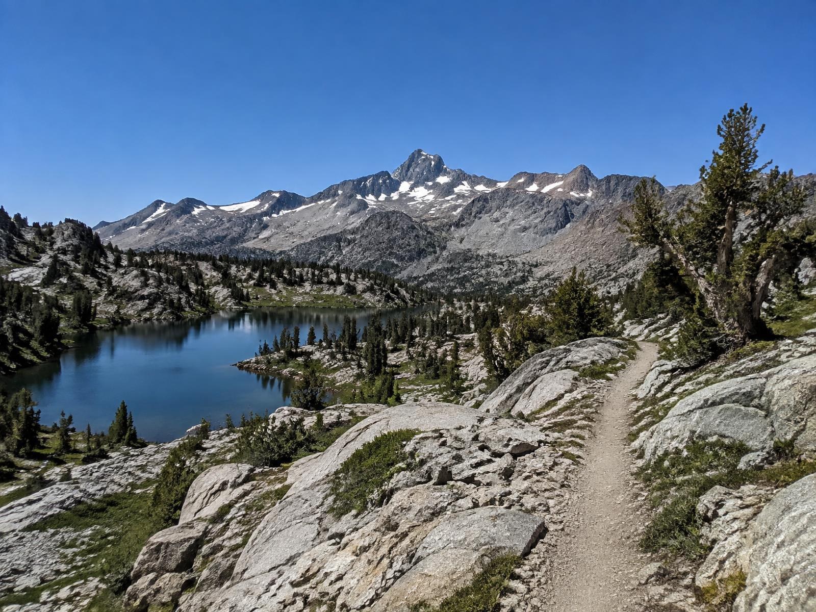
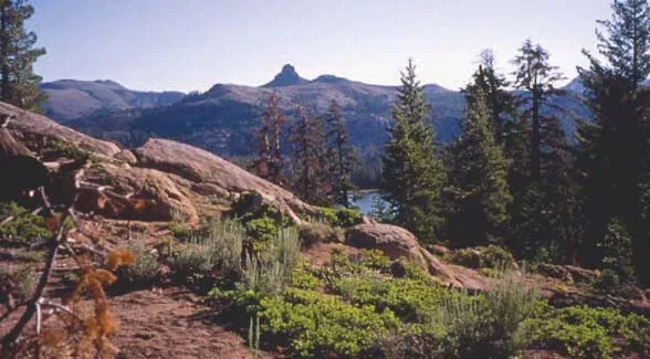
Every other trail worth the drive
The trails above are the ones we send almost everybody to. Below is the rest of the list — everything within about two and a half hours of the cabins, ordered by how far you actually have to drive rather than by how famous it is. Mileage is round trip, difficulty is stated the way the trail feels on the day rather than the way an app grades it, and the season note matters more than any of it: most of the Highway 4 high country is under snow from November into June.
Cougar Rock
The best view for the least effort anywhere near Arnold. Four miles and nine hundred feet of climbing put you on a granite shoulder looking down the Stanislaus drainage, and because the trailhead is an unmarked forest road junction rather than a signed park entrance it stays quiet even on holiday weekends. The footing is loose in places on the descent, which is the only reason we would not call it easy.
Do it late in the day. The rock faces west, so the last hour of light is the whole point.
Where: Valley View Drive at Forest Road 5N95Y, Arnold · Drive: 10 minutes · Season: spring through autumn; snow makes the last pitch slick
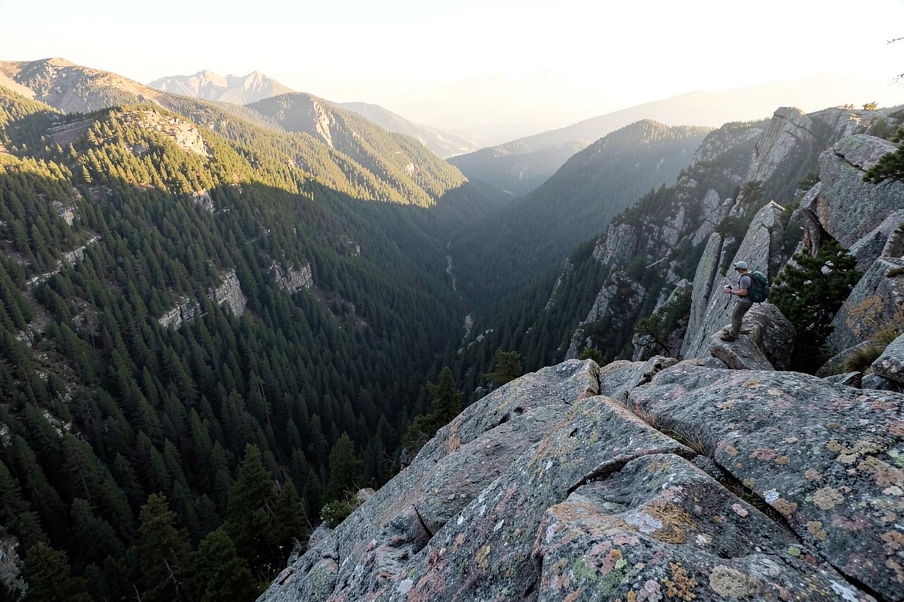
Top of the World and Manuel Peak
This is the long local day, and the one people talk about afterwards. Eight and three quarter miles link the San Antonio Falls overlook, the Manuel Peak summit and the Top of the World viewpoint into a single loop on the Arnold Rim Trail, climbing steadily rather than steeply. On a clear winter-into-spring day the haze drops out and people report picking out Mount Diablo from the top.
Carry more water than the distance suggests — there is no reliable water on the ridge.
Where: Arnold Rim Trail, Blue Lake Springs trailhead · Drive: 5 to 10 minutes · Season: year round below the snow line, best March to June
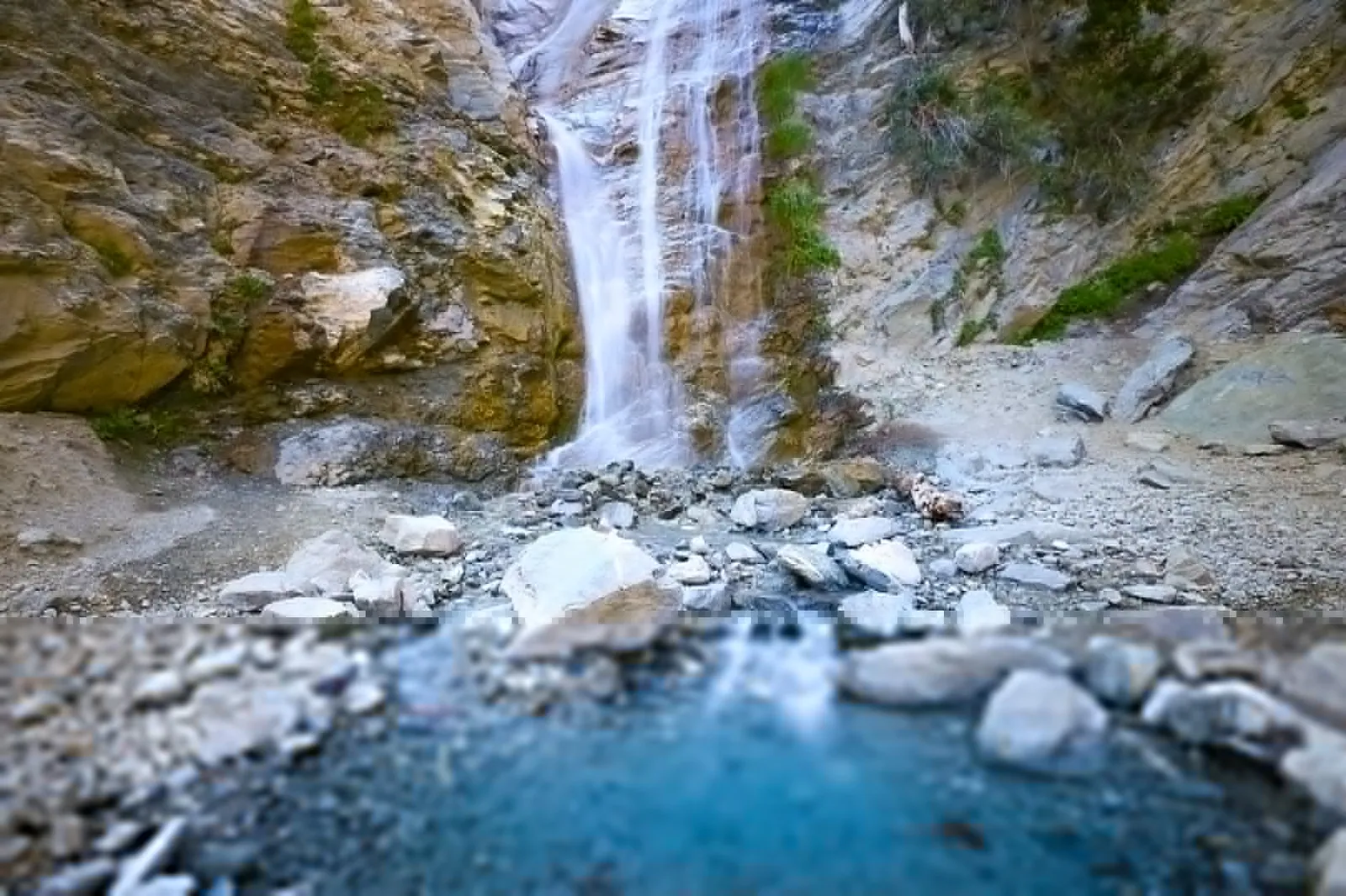
South Grove and Big Tree Creek Loop
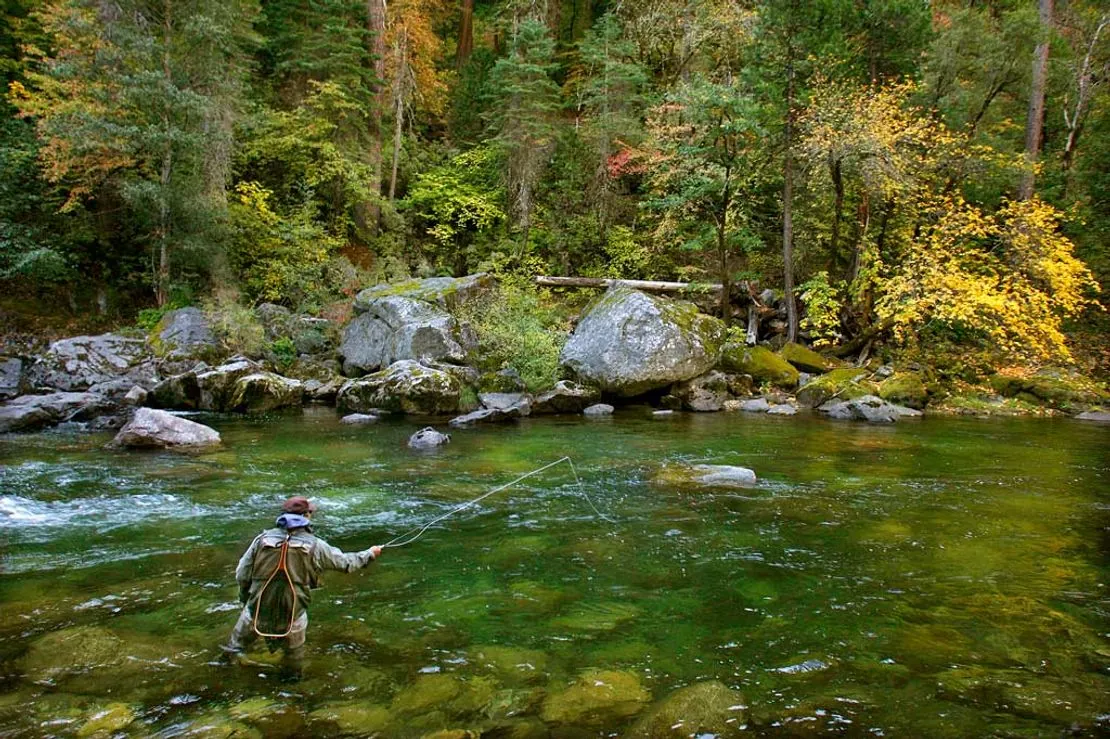
The bigger, quieter half of Calaveras Big Trees. Five and a half miles through the South Grove take in the Agassiz Tree, the largest sequoia in the park, on a trail that sees a fraction of the North Grove traffic because it starts nine miles further along the park road. The route crosses the Stanislaus, so it doubles as fishing access if you carry a rod.
Go here instead of the North Grove on any summer weekend.
Where: Calaveras Big Trees State Park, South Grove Road, Arnold · Drive: 10 minutes · Season: May to October; the park entry fee applies

Lake Alpine and Duck Lake Loop
Nine miles round the shoreline of Lake Alpine with the Duck Lake spur added on, and the best introduction to the Highway 4 high country. Granite slabs, lodgepole pine and constant water views, with almost no sustained climbing — the distance is the only reason it counts as moderate. Duck Lake itself is shallow, warm by August and the better swim of the two.
Start clockwise so the exposed granite section is behind you before the afternoon heat.
Where: Lake Alpine, Highway 4 above Bear Valley · Drive: 45 to 55 minutes · Season: July to October; the highway closes above the lake in winter
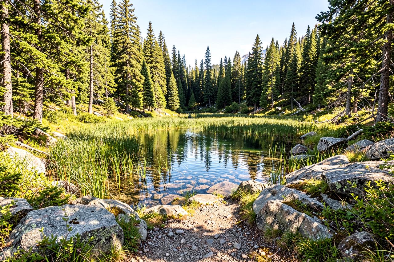
Mount Reba from Lake Alpine
Seven and a half miles and a summit that looks straight down into the Bear Valley bowl, which is worth doing in summer precisely because you have skied it in winter. The trail climbs through hemlock into volcanic rock and wildflower slopes above 8,000 feet, so it feels considerably harder than the mileage — altitude does most of the work here.
The wildflowers peak in the second half of July and are the reason to time it.
Where: trailhead at Lake Alpine, Highway 4 · Drive: 45 to 55 minutes · Season: mid-July to early October
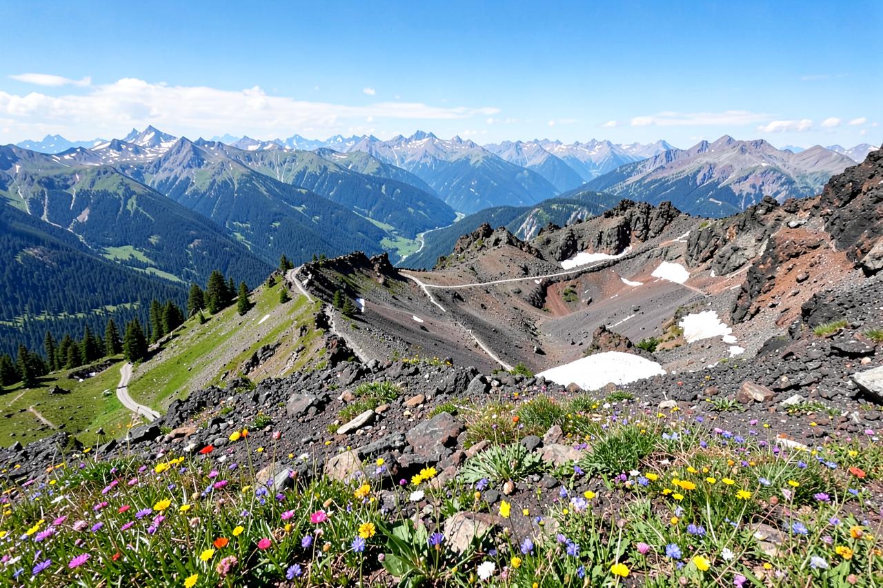
Elephant Lake
Three miles up from the Highway 4 corridor to a small lake in a granite basin, and noticeably quieter than anything on Lake Alpine because the trailhead has room for about six cars. Short enough to do in a morning, high enough that the water never really warms up, and one of the few places up here where you can reasonably expect to have lunch alone.
The best short walk on Ebbetts Pass if Lake Alpine's car park is already full.
Where: Highway 4 above Lake Alpine, Stanislaus National Forest · Drive: 50 to 60 minutes · Season: July to October
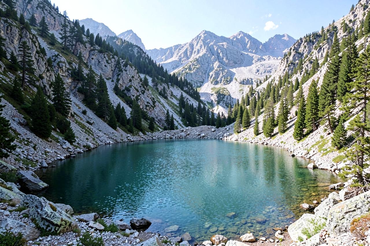
Heiser Lake Loop
Seven miles to a granite-rimmed lake off the Ebbetts Pass road, with a rolling middle section that crosses several small drainages. It is the classic mid-length Highway 4 hike — long enough to feel like a day, short enough that you are back at the cabin for dinner. The lake shallows are clear enough to see the bottom right across.
Mosquitoes are serious here in early July. Late August is the sweet spot.
Where: Highway 4 near Mosquito Lakes, Stanislaus National Forest · Drive: 55 to 70 minutes · Season: July to October
Mosquito Lakes to Bull Run Lake
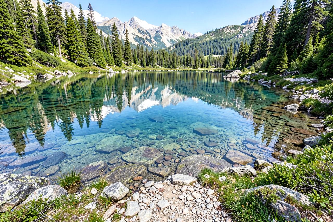
The classic hard day on Ebbetts Pass. Seven and three quarter miles to a large alpine lake under a granite dome, with some route-finding at the creek crossings and a final climb over slabs where the trail is more cairn than path. Strong walkers do it as a day hike; plenty of people carry a tent and stay.
Bring a map you can read without a phone signal. The crossings are where people go wrong.
Where: Mosquito Lakes trailhead, Highway 4 · Drive: 55 to 70 minutes · Season: mid-July to September
Woodchuck Basin to Avalanche Meadow
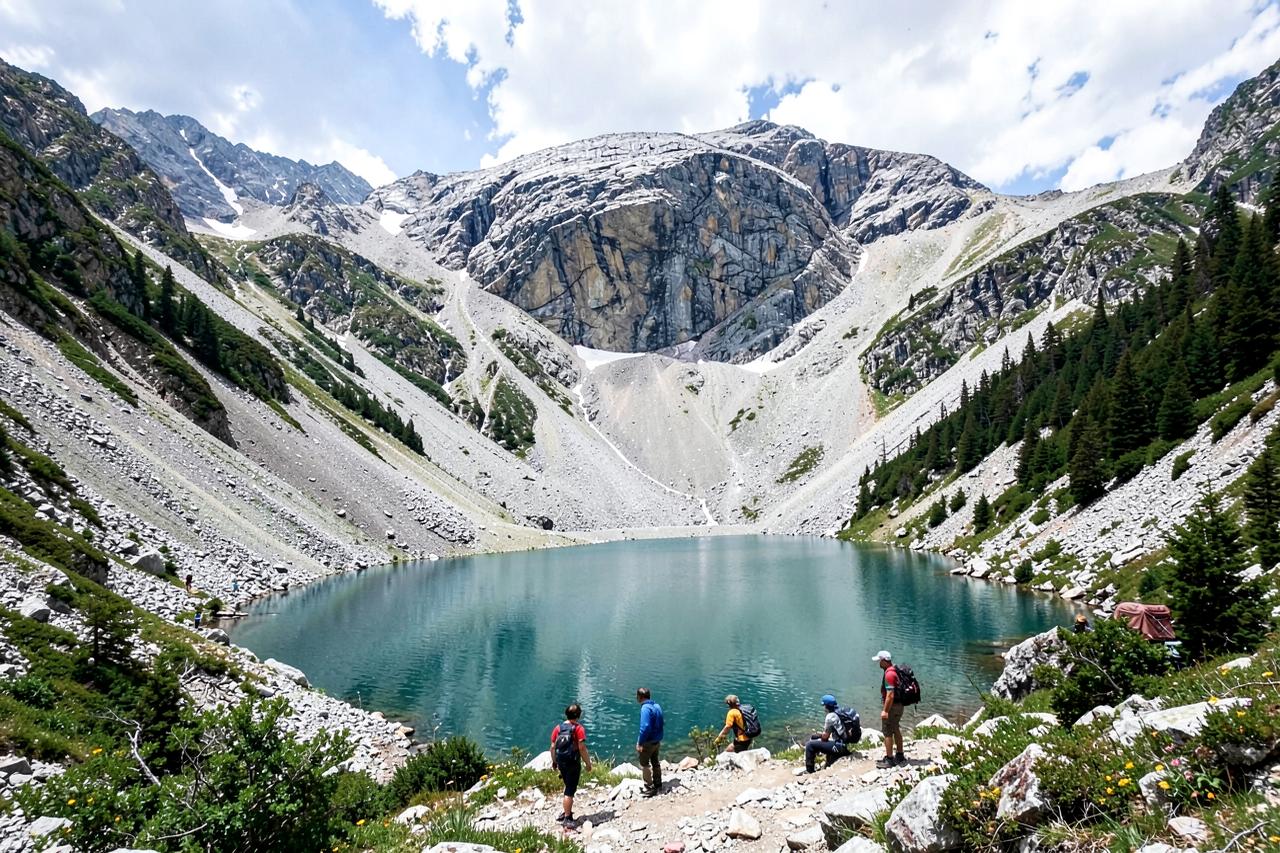
Eight miles into the Carson-Iceberg Wilderness, through pine forest and out into a broad wildflower meadow that feels a long way from a highway. This is the wilderness-entry hike of the group: no facilities, no reliable signage past the boundary and a real chance of seeing nobody all day. Overnight trips need a wilderness permit.
Day-hike it first. If you like it, come back with a permit and a tent.
Where: Highway 4 east of Lake Alpine, Carson-Iceberg Wilderness · Drive: 60 to 75 minutes · Season: mid-July to September; permit required for overnights
Disaster Creek to Paradise Valley
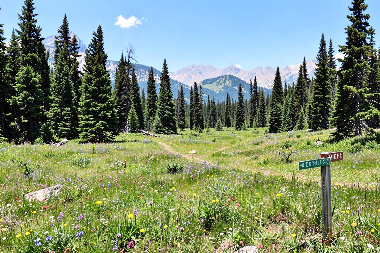
Sixteen miles round trip to Paradise Valley and Boulder Lake, which makes this a backpacking route that a very fit party can compress into one very long day. The creek name is older than the trail and nothing about the walking is dramatic — it is a long, steady, beautiful valley approach into the least visited corner of the Carson-Iceberg.
Plan it as an overnight. Doing it in a day means walking the best part in the dark.
Where: Highway 4 beyond Hermit Valley, Carson-Iceberg Wilderness · Drive: 70 to 85 minutes · Season: late July to September; permit required for overnights
Pinecrest Lake National Recreation Trail
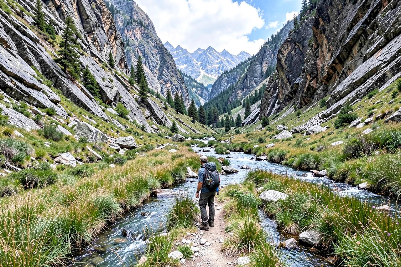
The default family hike on the Highway 108 side: four flat miles all the way round Pinecrest Lake, with a beach at the start, a cafe near the car park and swimming anywhere you like along the way. It is busy, and that is rather the point — nobody minds sharing a trail this pleasant. The far end is quieter and has the better granite slabs to sit on.
Walk it anticlockwise and swim at the far end where the crowds thin out.
Where: Pinecrest Lake, Highway 108 above Strawberry · Drive: 90 to 100 minutes · Season: May to October; the lake road is plowed but parking fills by ten in summer
Cleo's Bath
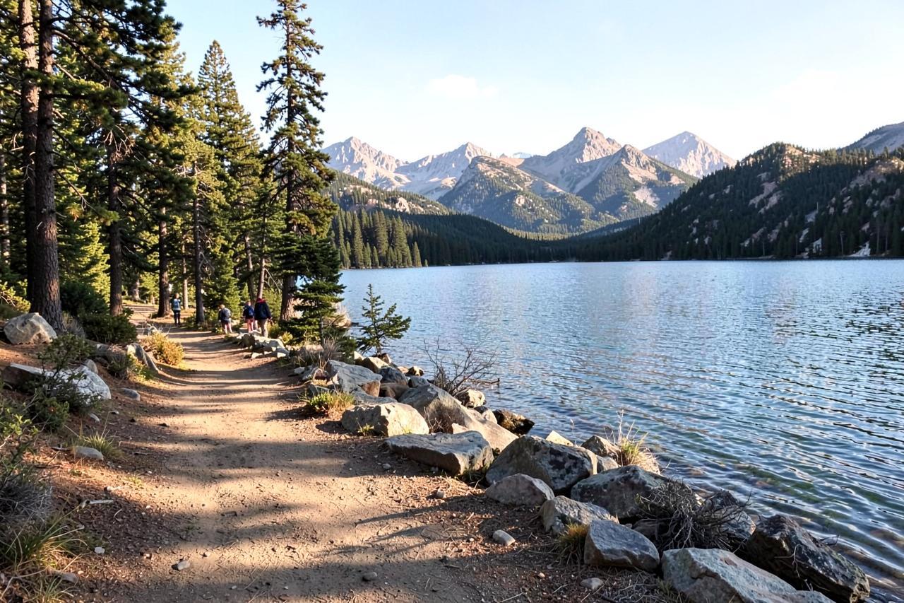
Six and a half miles from Pinecrest to a set of polished granite pools, and the hike on this page most often underestimated. The first two miles are the lake trail; after that it becomes sustained boulder scrambling up a drainage with genuine exposure, and search and rescue callouts here are a regular summer event. It is worth doing, by people who understand what they are agreeing to.
This is not a longer version of the lake loop. Grippy shoes, early start, turn back if the rock is wet.
Where: past the east end of Pinecrest Lake, Highway 108 · Drive: 90 to 100 minutes · Season: July to September; dangerous during runoff
Trail of the Gargoyles
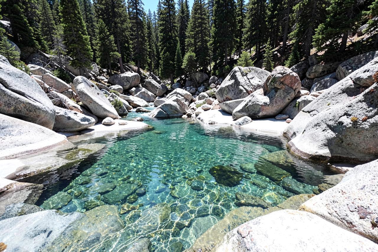
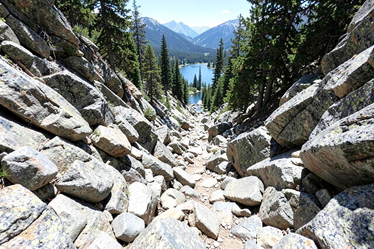
A mile and a half of flat rim walking past volcanic formations that genuinely look carved, on two short loops off a Herring Creek forest road. Almost no effort and a remarkable payoff, which makes it the best option here for a mixed-ability group. The drop-offs are unfenced and immediate.
Hold on to small children the entire way. There is no barrier between the path and a long fall.
Where: Herring Creek Road off Highway 108 near Strawberry · Drive: 95 to 110 minutes · Season: June to October; the road is unplowed in winter
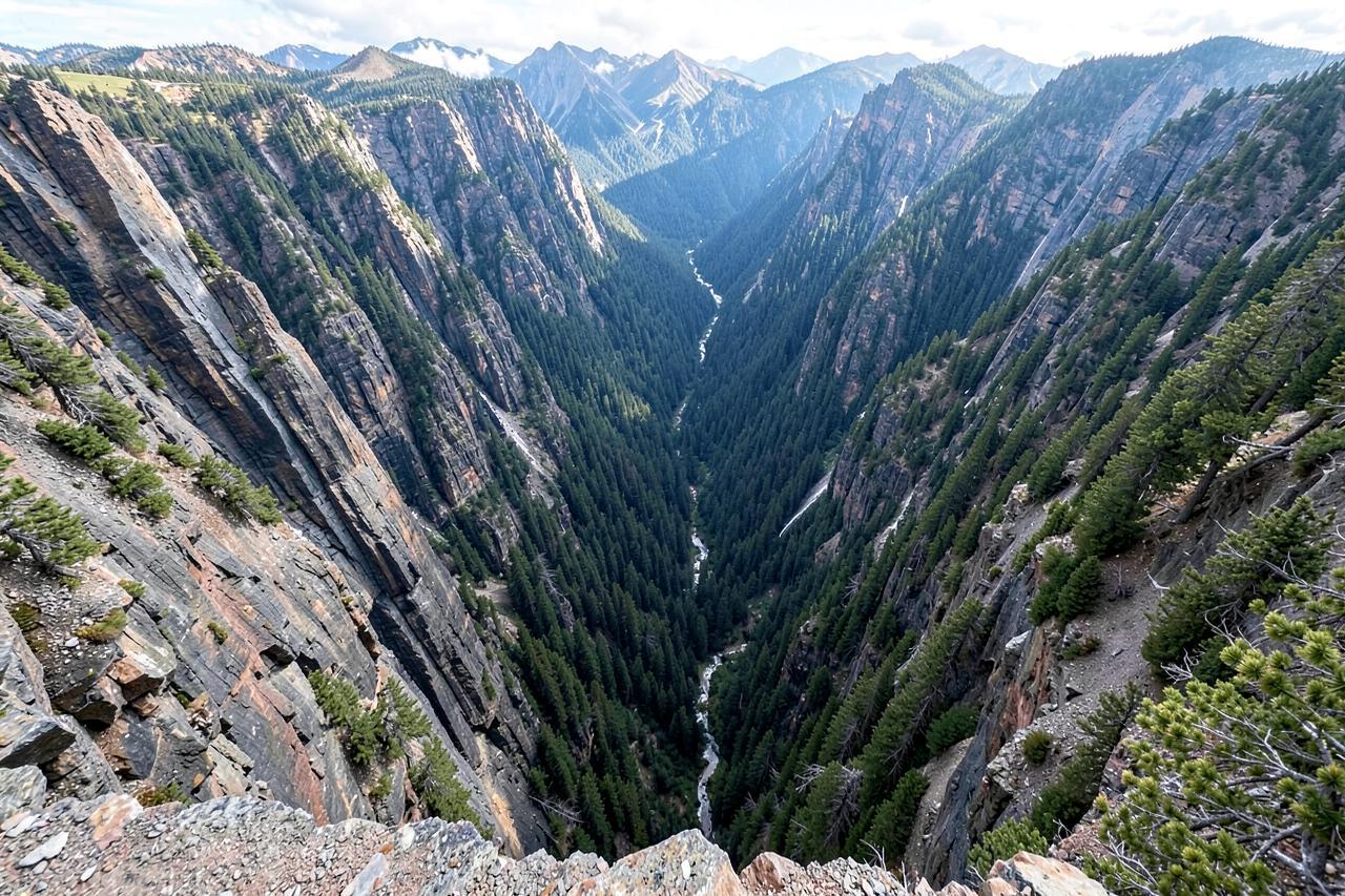
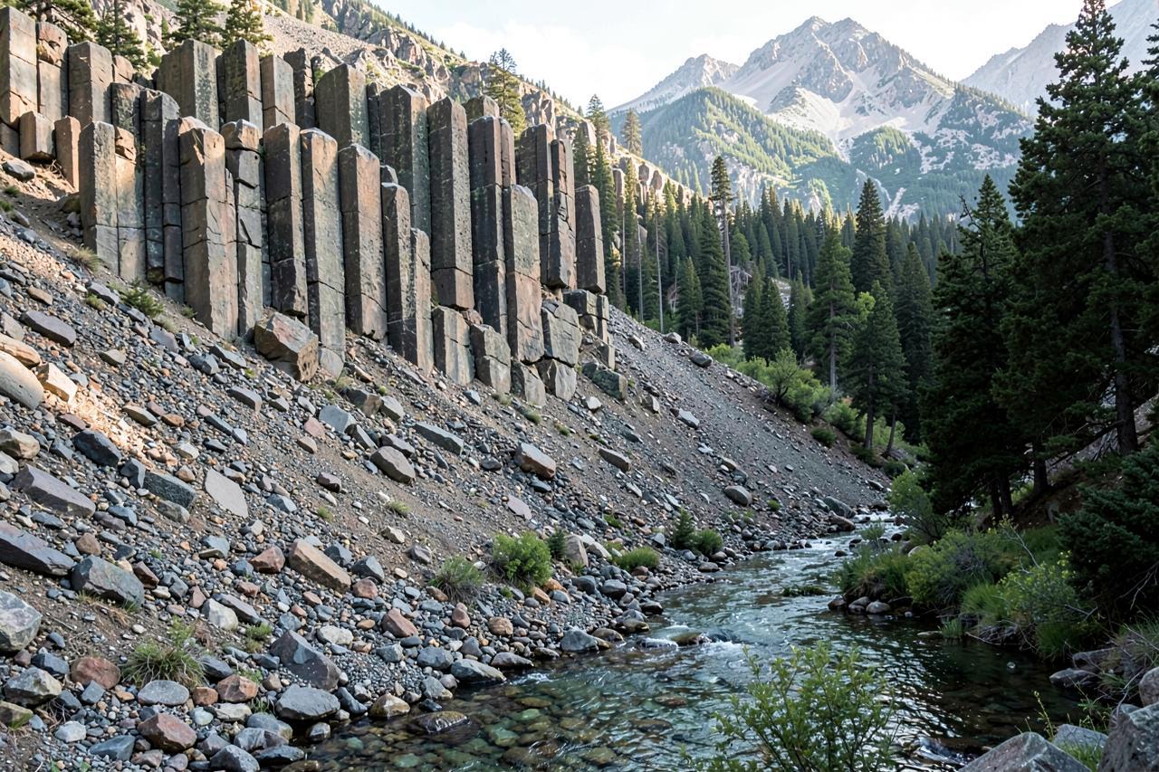
Columns of the Giants
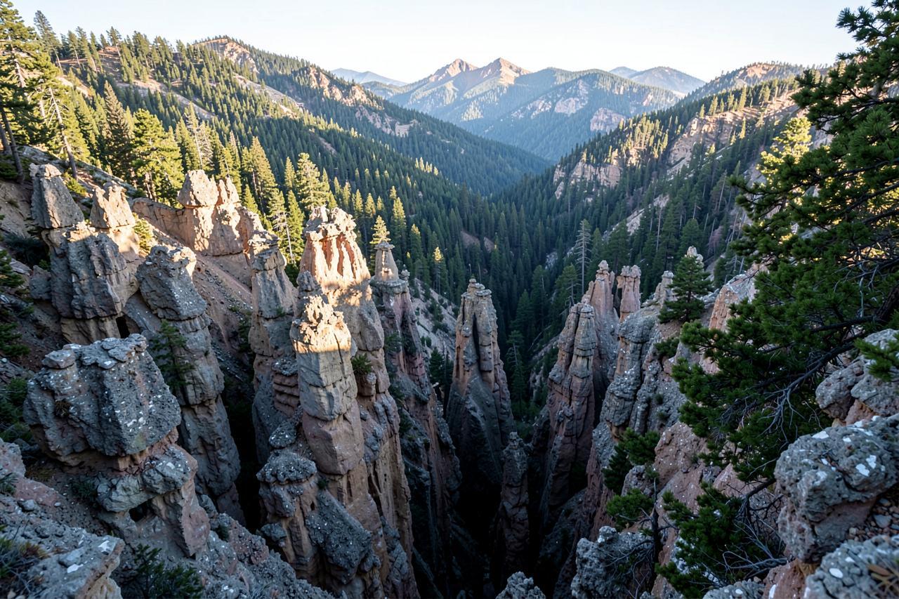
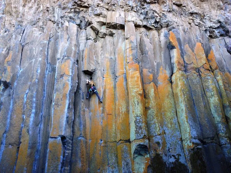
Half a mile on a level interpretive path to a wall of hexagonal basalt columns with a remnant ice field at its foot, signed well enough that children come away actually understanding what they are looking at. It is also an established climbing crag, so expect ropes on the overhanging section — the geology and the climbing share the same rock.
The shortest walk on this page and the one most likely to make somebody ask a follow-up question.
Where: Highway 108 east of Kennedy Meadows, Stanislaus National Forest · Drive: 110 to 125 minutes · Season: June to October; Highway 108 closes over Sonora Pass in winter
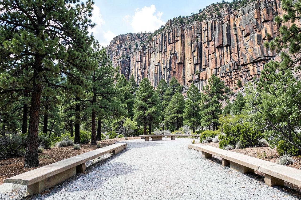
Burst Rock from the Gianelli trailhead
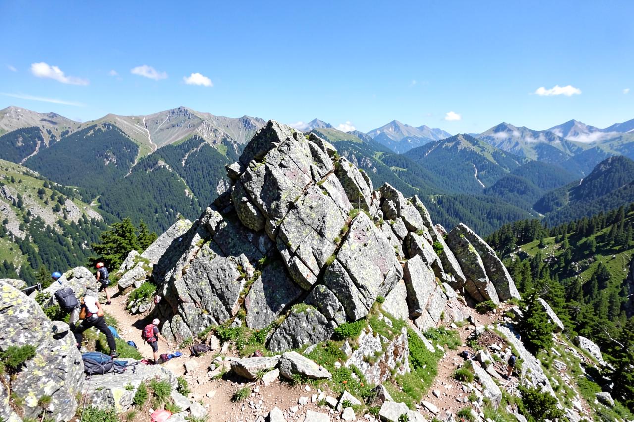
Four miles to the granite lip of the Emigrant Wilderness, following part of the old emigrant route with views south across the Stanislaus drainage. Moderate rather than hard, and the natural first taste of the Emigrant country if you are weighing up a longer trip. Climbers use the same rock, so you will often share the top with a rope team.
The gateway hike for the Emigrant Wilderness, and short enough to do on the way home from Pinecrest.
Where: Gianelli trailhead, Crabtree Road off Highway 108 · Drive: 100 to 120 minutes · Season: July to October; the access road is rough dirt
Carlon Falls
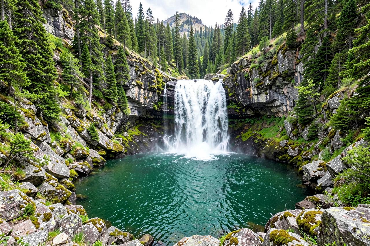
Three and three quarter miles along the South Fork Tuolumne to a year-round waterfall that sits just outside the Yosemite boundary, which is the whole reason to know about it: no park entry fee, no reservation, none of the queue. The trail is shaded, nearly flat and lined with dogwood, and the pool below the falls is swimmable by late summer.
The Yosemite waterfall hike that needs no park reservation.
Where: Highway 120 near Carlon Day Use Area, above Groveland · Drive: 115 to 130 minutes · Season: year round; best April to June for volume
Tuolumne Grove
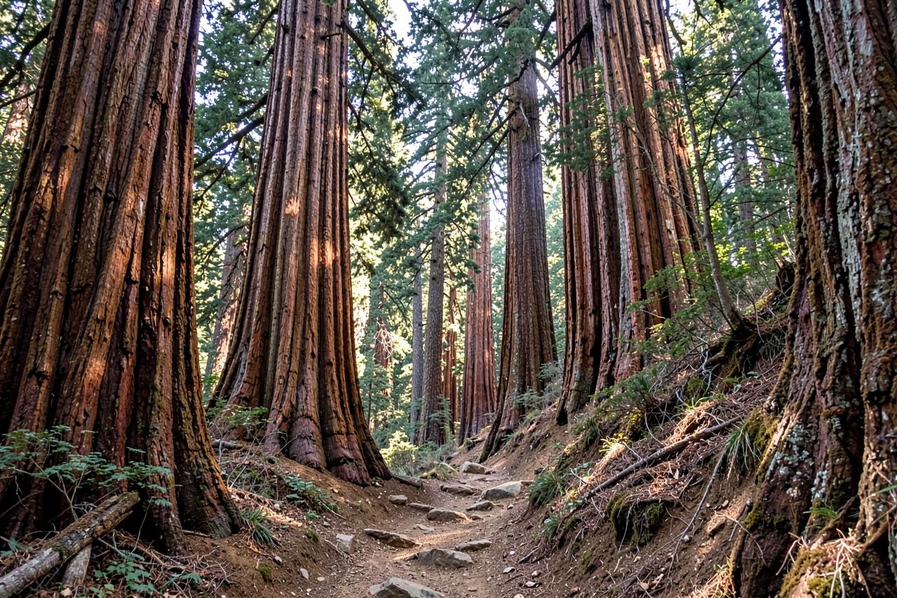
Two and a half miles down an old paved road into a sequoia grove inside Yosemite, including the walk-through Dead Giant tunnel tree. The catch is in the shape of it: the entire return is the climb back out, and people regularly underestimate that on a hot afternoon. Park entry and, in peak season, a reservation are required.
Every step of the climbing is on the way back, at the point when you are already tired.
Where: Tioga Road just past Crane Flat, Yosemite National Park · Drive: 130 to 145 minutes · Season: May to October; park entry fee applies
Merced Grove
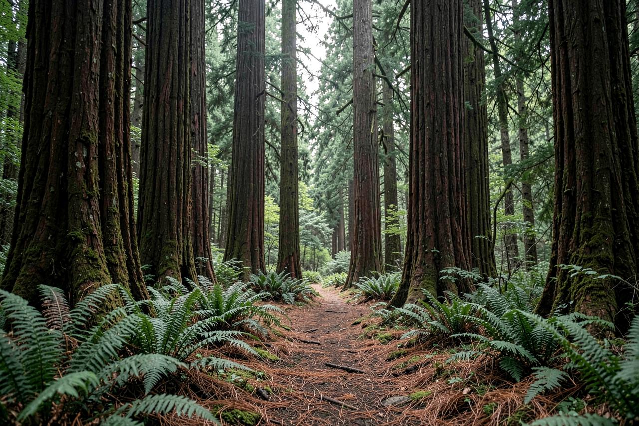
The quietest of Yosemite's three sequoia groves, three miles round trip on an old road through mixed forest to about twenty big trees and a historic ranger cabin. There is no shuttle, no interpretive centre and often nobody else, which is exactly the trade you make for the smaller grove. Same climb-out shape as Tuolumne, slightly gentler.
Choose this over Tuolumne if being alone among the sequoias matters more than tree count.
Where: Big Oak Flat Road inside the Yosemite boundary, Highway 120 · Drive: 130 to 145 minutes · Season: May to October; park entry fee applies
Also Interesting...
Arnold Haven - October 22, 2023
Nearby
Keep exploring
Local knowledge
Guided experiences near The Best Hiking Trails Near Arnold, CA
Guided outings our guests book most often while they're up the hill.
Affiliate disclosure
These experiences are operated and sold by Viator or GetYourGuide, not by Arnold Haven. Booking through these links may earn us a small commission at no extra cost to you, which helps keep the cabins and this guide going.
Stay nearby
Vacation rentals near Arnold hiking trails
Most of the trails on this list start within 30 minutes of the cabins, from the Arnold Rim Trail to the sequoia loops at Big Trees. Looking for cabin rentals in Arnold, CA? Arnold Haven has two dog-friendly cabins — a five-bedroom A-frame chalet that sleeps 12 and a two-bedroom loft that sleeps 4. Minimum stay is 2 nights, check-in is at 3pm and check-out at 11am.
- Check-in
- Self check-in, 3pm
- Cancellation
- Full refund 5+ days ahead; holidays 30 days
Check live availability, see your full price, and book securely — ID check and payment are handled by Stripe.